تم تبني هذا المسار من قبل: بنك الإتحاد
المسار 203: سد الملك طلال إلى رميمين
-
مسارات المشي في المنطقة
-
اليوم الثالث: سد الملك طلال إلى رميمين
-
المسافة: 15.7 كم
-
الوقت اللازم للمسير: 5-6 ساعات
-
التحدي البدني: متوسط
-
تحديات المسار: متوسط
-
اجمالي الصعوبة: متوسط
-
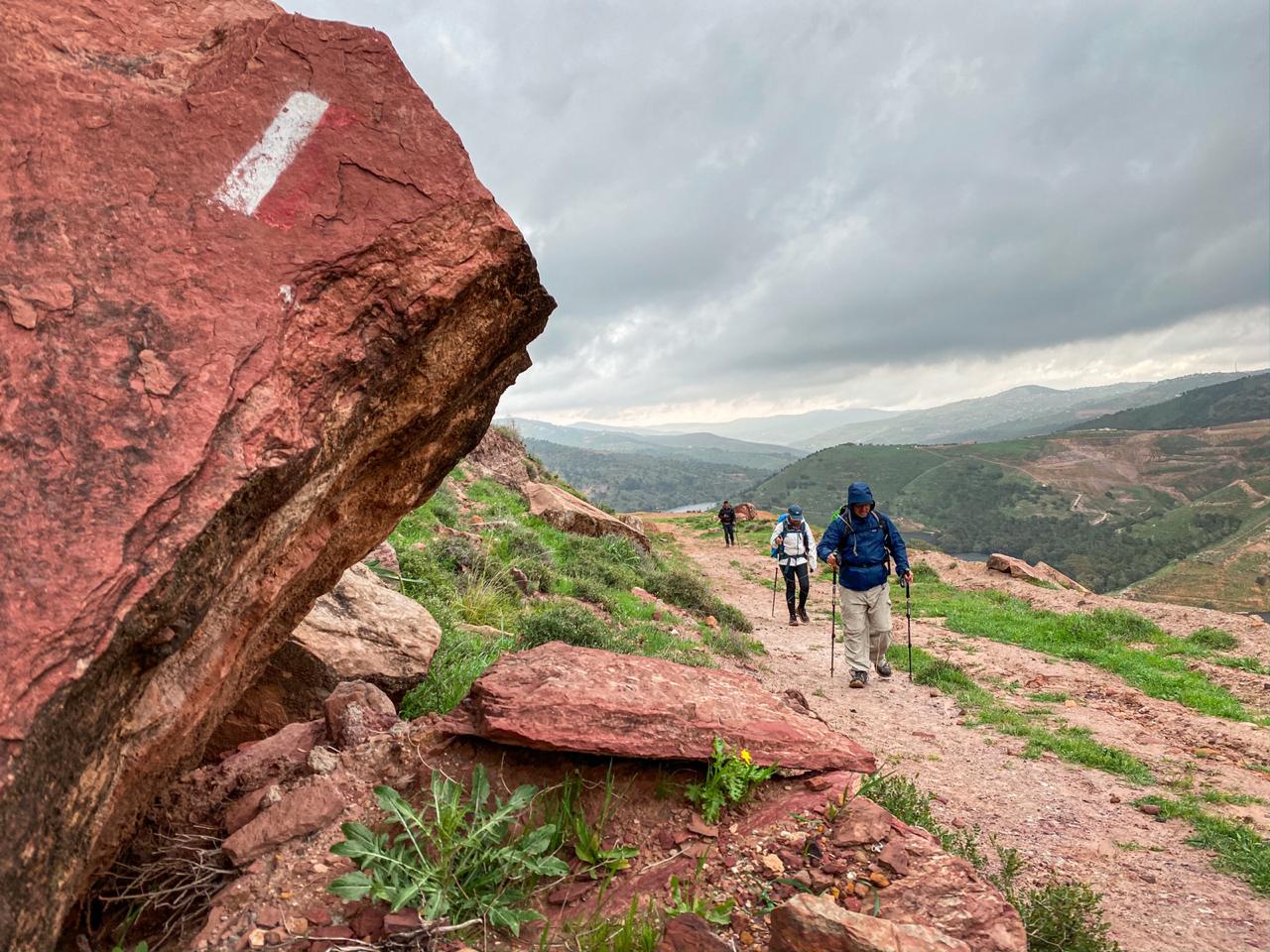
تعليم المسار: نعم

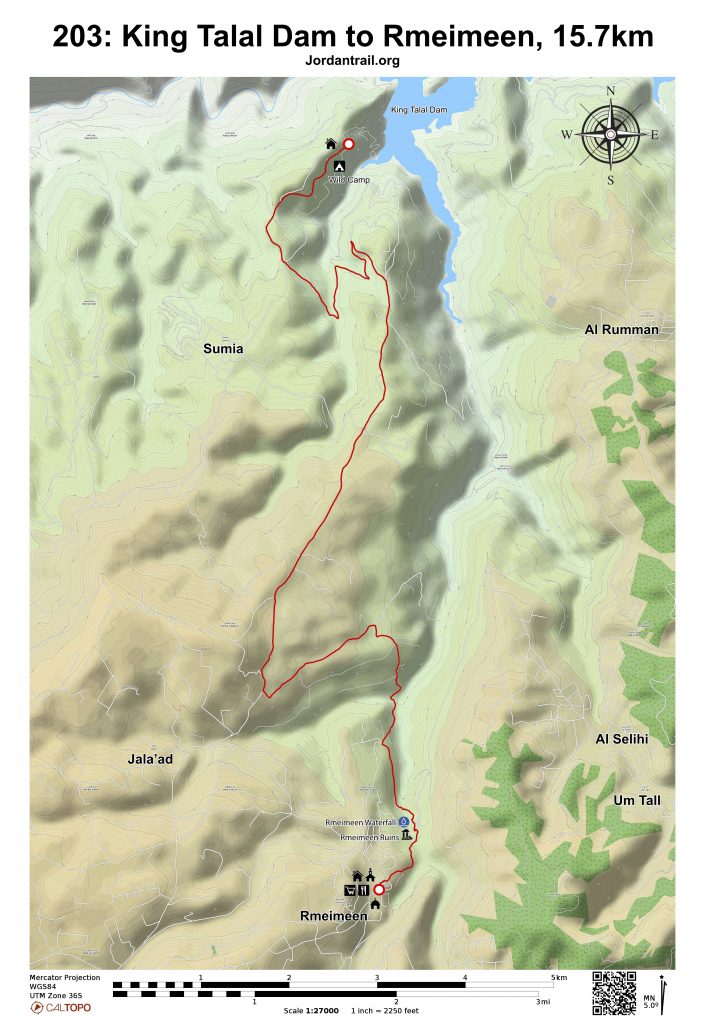
- خريطة المسار
- خريطة جوجل
- نظام تحديد المواقع
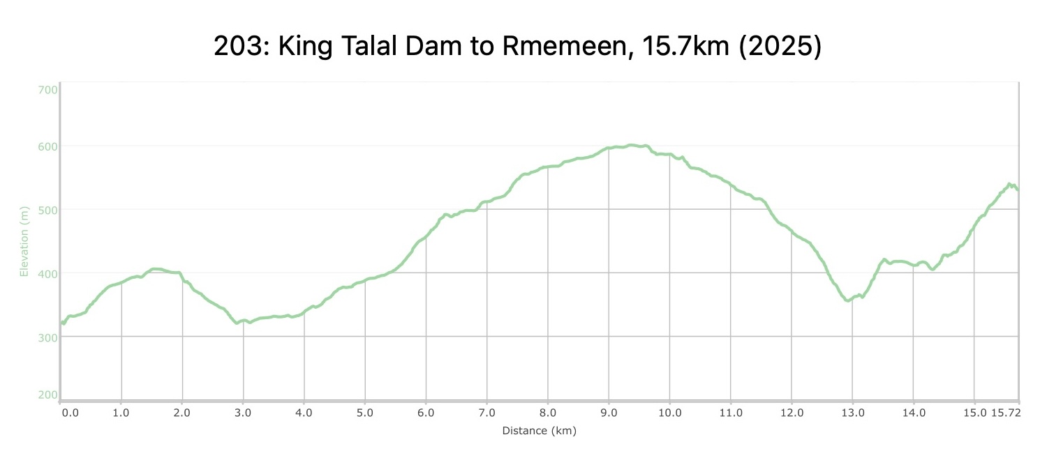
- مخطط الارتفاعات
لتحميل مسار GPS، اضغط هنا.

The Jordan Trail is a newly established trail, and is not marked. It is therefore our strong recommendation that you hire a local guide for your safety as many sections are remote with limited water sources and at times no connectivity.
By downloading these maps/GPX you take full responsibility for their use and accuracy; Jordan Trail Association does not warrant the accuracy or completeness of the information, materials or the reliability of any maps as they provided AS IS without warranty of any kind, either express or implied, including but not limited to, fitness for a particular purpose, or non-infringement ;You acknowledge that any reliance on any such maps, shall be at your sole risk and responsibility as Hiking, backpacking, and other outdoor activities all have potential hazards involving risk of injury or death. Outdoor activities have inherent risks and you should ensure you have the skill level and abilities suitable for the activities in Jordan to partake in them and to take all precaution measures. Check the data on Google Earth or other Apps or Programs before using them. The Jordan Trail Association shall not be held responsible for any incidents that may occur during your participation in any activity and/or by using any of the maps/GPX.

أنقر هنا

 لتحميل الخريطة

The Jordan Trail is a newly established trail, and is not marked. It is therefore our strong recommendation that you hire a local guide for your safety as many sections are remote with limited water sources and at times no connectivity.
By downloading these maps/GPX you take full responsibility for their use and accuracy; Jordan Trail Association does not warrant the accuracy or completeness of the information, materials or the reliability of any maps as they provided AS IS without warranty of any kind, either express or implied, including but not limited to, fitness for a particular purpose, or non-infringement ;You acknowledge that any reliance on any such maps, shall be at your sole risk and responsibility as Hiking, backpacking, and other outdoor activities all have potential hazards involving risk of injury or death. Outdoor activities have inherent risks and you should ensure you have the skill level and abilities suitable for the activities in Jordan to partake in them and to take all precaution measures. Check the data on Google Earth or other Apps or Programs before using them. The Jordan Trail Association shall not be held responsible for any incidents that may occur during your participation in any activity and/or by using any of the maps/GPX.

أرقام مهمة
الشرطة السياحية:
الخط الساخن: 117777
واتساب: +962770992690
*في حال التواصل مع شرطة السياحة في حالة طارئة، يُرجى تحديد أنك تسير على درب الأردن، وذكر جنسيتك، موقعك الحالي، واسم ورقم الخريطة.
مكتب جمعية درب الأردن: +962 6 461 0999
(ساعات العمل: من 9:00 صباحًا حتى 5:00 مساءً، من الأحد إلى الخميس)
معلومات عامة
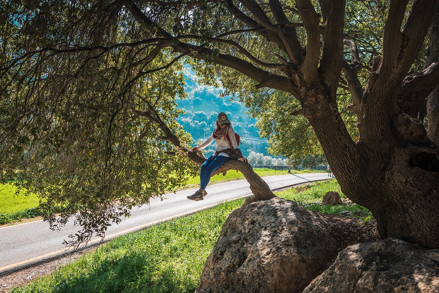
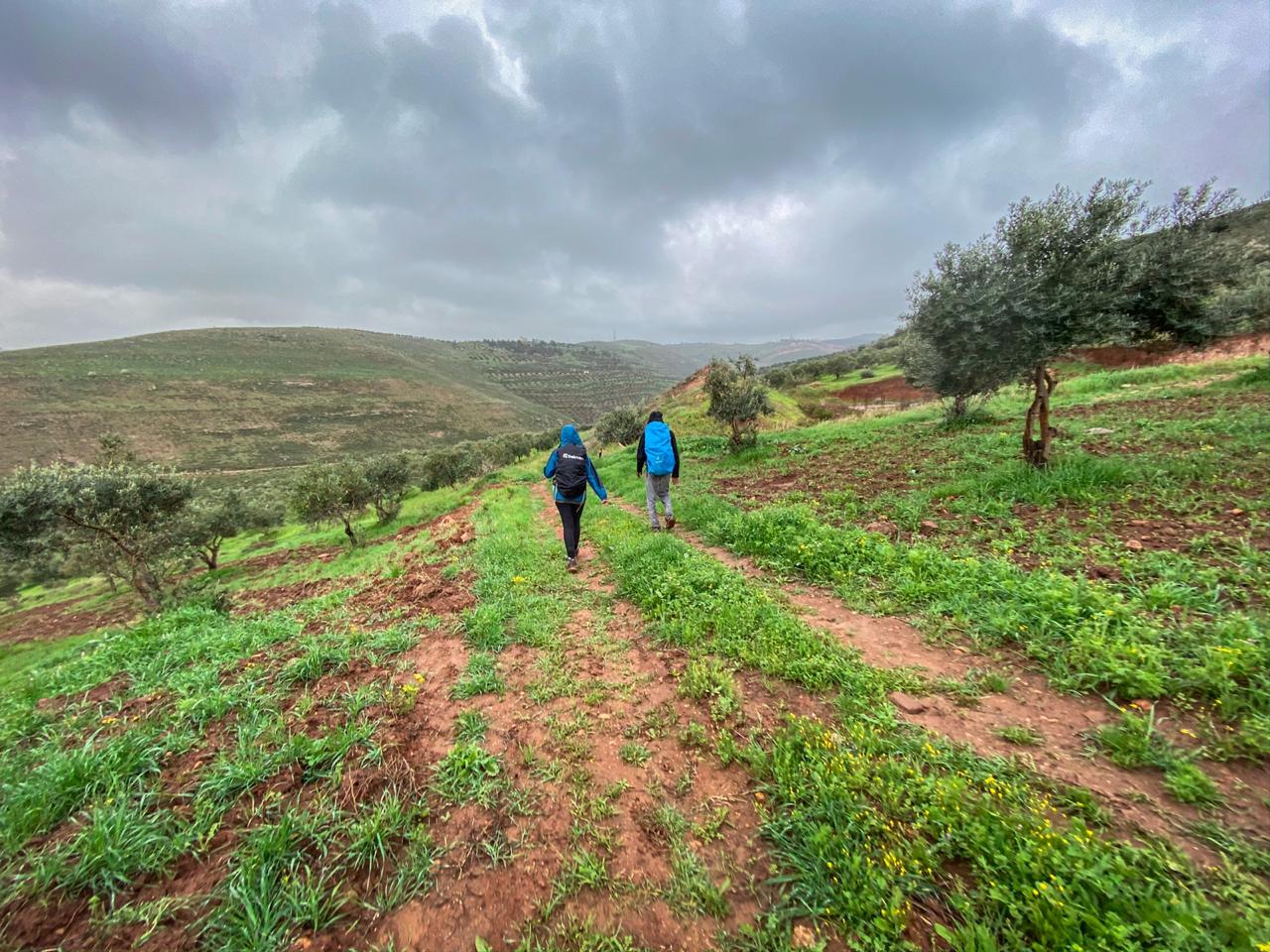
تتواصل المسارات والممرات الريفية عبر أراضٍ زراعية خصبة وصولًا إلى شلال صغير. ومن هناك، نسلك دربًا صاعدًا يقودنا إلى قرية رميمين، التي يقطنها المسلمون والمسيحيون معًا، وتتميز بوجود مسجد وكنيسة ومقهى يضفي على المكان طابعًا محليًا دافئًا.
وسائل النقل
- سيارات الأجرة الخاصة
جهات الاتصال المحلية / أماكن الإقامة
- تخييم بري: صايغ خوري, 962786582924+, ختم سجل الدرب رميمين
- بيت ضيافة: ميشلين السالم, 962787371806+
- تخييم بري وبيت ضيافة: محمد الكيلاني, 962788436068+, ختم سجل الدرب رميمين
أهم المعالم التي يمكن مشاهدتها
- سد الملك طلال
- شلالات رميمين (مجاني ومفتوح على مدار الساعة)
- مساجد وكنائس رميمين
الطعام والماء
الطعام:
- تحتوي قرية رميمين على مطعم بسيط، ومخبز، وميني ماركت، بالإضافة إلى محل لبيع المشروبات الروحية وكشك للفلافل.
الماء:
- قد تتوفر المياه من البيوت والمزارع الممتدة على طول الطريق المعبد.
- قرية رميمين
النصائح والسلامة العامة
النصائح:
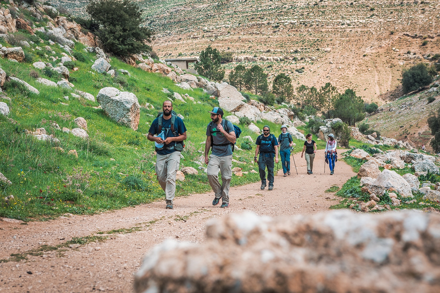
- سهولة في المشي، إذ إن ٩٩٪ من المسار يمتد على طرق (ترابية ومعبدة)، مع وجود بعض المقاطع شديدة الانحدار بين الحين والآخر.
السلامة العامة:
- الجفاف / الإرهاق الحراري – يمكن العثور على الظل في بعض المناطق على طول الطريق، لكن معظم المسارات تكون معرضة لأشعة الشمس.


