


0
0 items
No products in the cart.
0
0 items
No products in the cart.

المنطقة السابعة: البترا إلى رم

  • التفاصيل

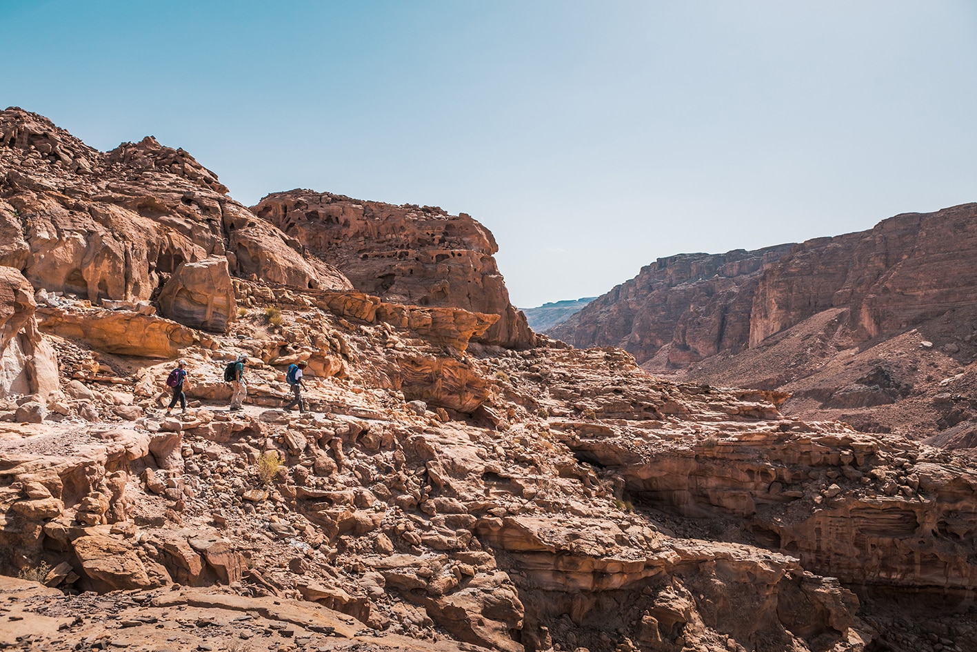
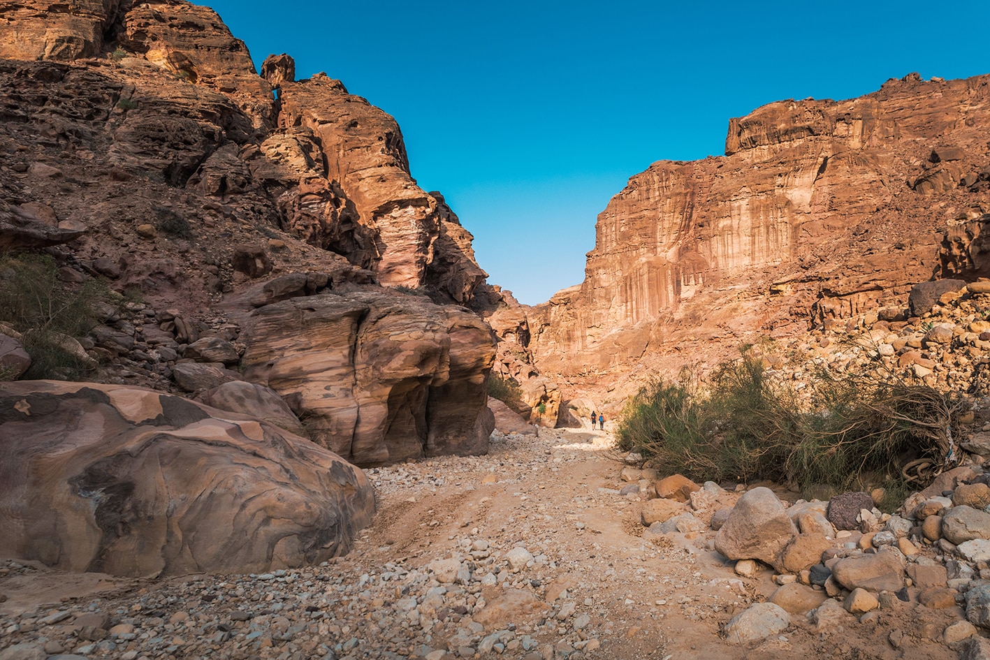
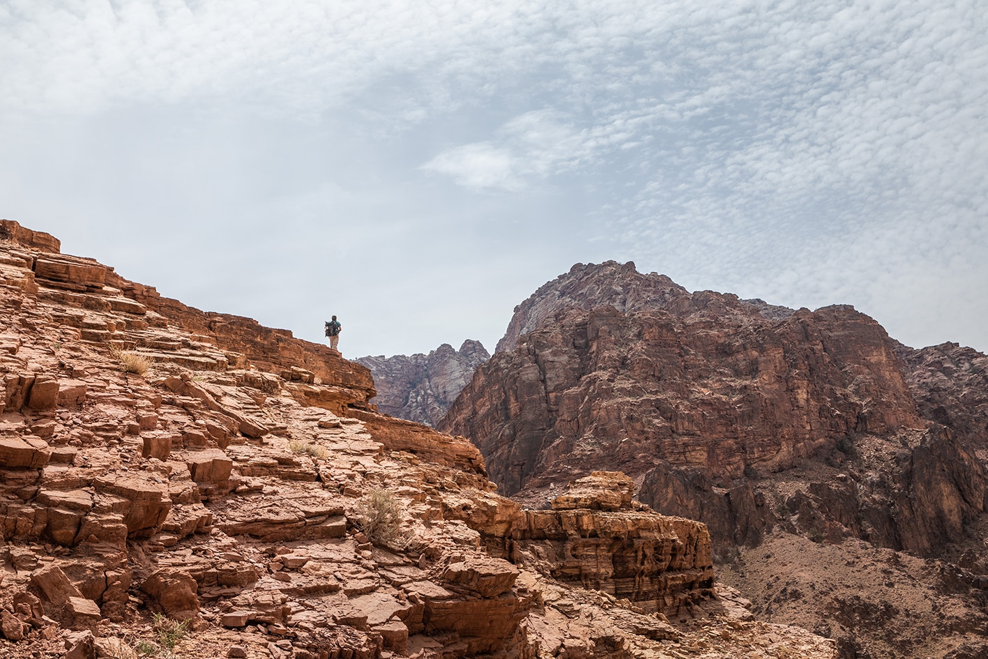
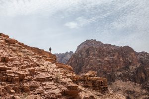
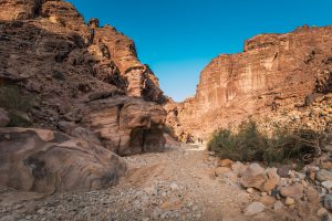
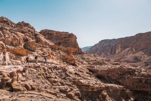
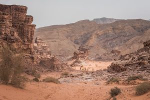
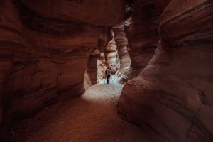
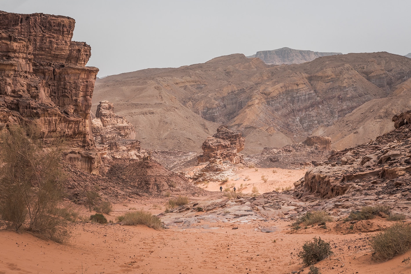
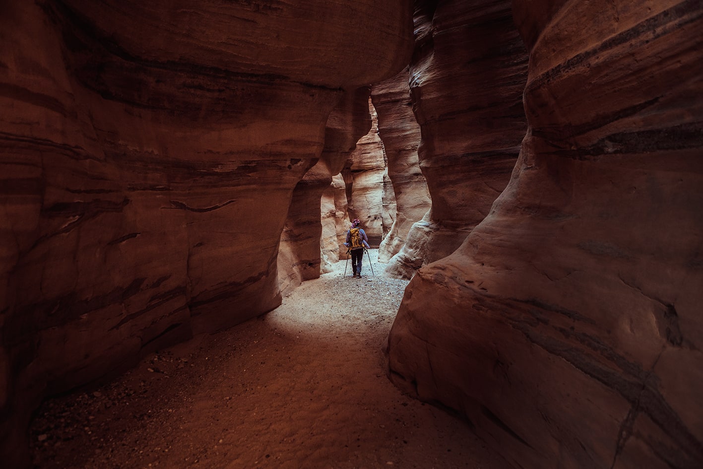
    يربط هذا القسم، الذي يمتد لأسبوع كامل، بين أيقونتين عالميتين: البتراء ووادي رم، ويعبر واحدة من أطول المناطق البرية في المسار. تتغير التضاريس من أودية وعرة إلى سهول رملية واسعة تحيط بها تكوينات صخرية رملية شاهقة. في هذا المكان، يسود الصمت، وتتألق السماء الليلية بالنجوم، ويبدو أثر الإنسان ضئيلًا. ويكشف الاقتراب من وادي رم عن مناظر طبيعية ألهمت المستكشفين والكتّاب لأجيال عدة.

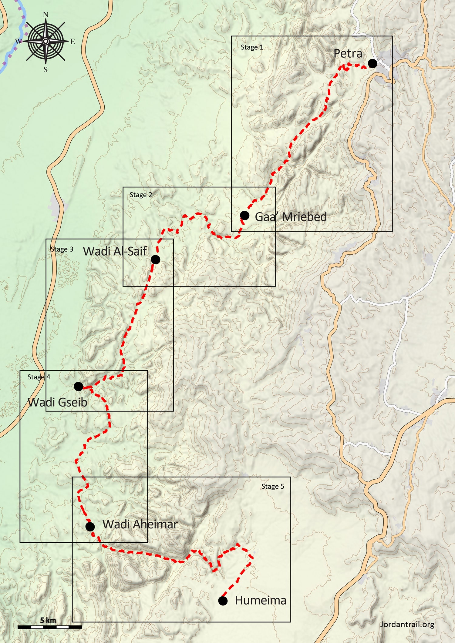
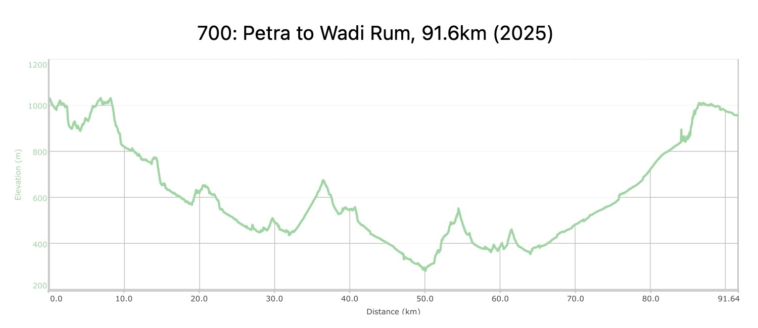
    خمسة أيام المسافة: 91.6 كم الارتفاع الصاعد: 2,354 م الإنحدار: 2,427 م اقصى ارتفاع: 1,032 م أدنى ارتفاع: 274 م

  • أبرز المواقع في هذه المنطقة:

  • البتراء، عاصمة النبطيين وإحدى عجائب العالم (موقع تراث عالمي)

  • جبل هارون (موقع دفن النبي هارون على قمة الجبل، خارج المسار)

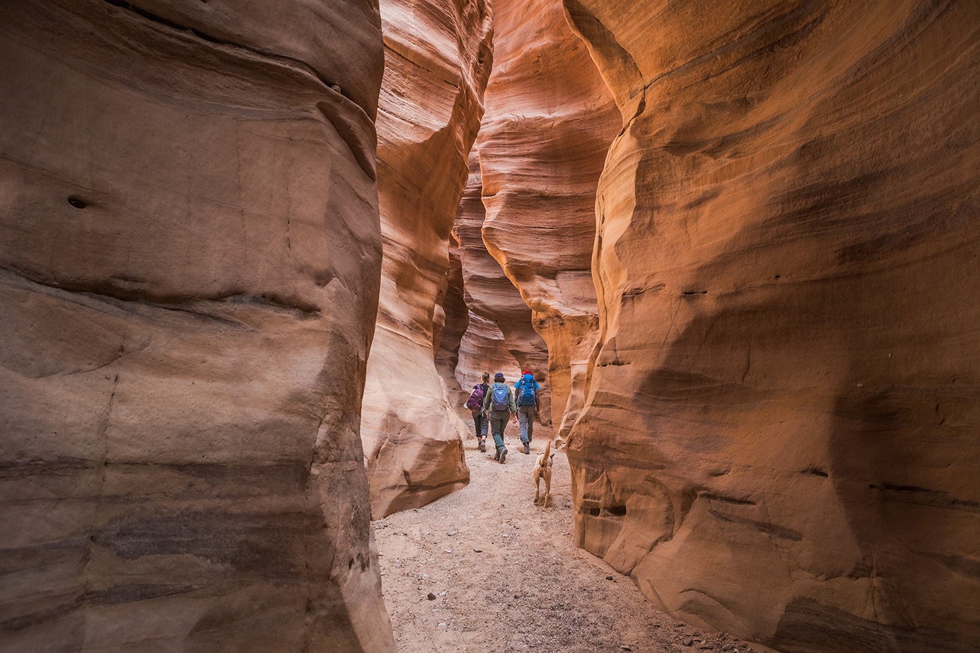
  • الوادي الملون

  • وادي أحيمر

  • الحُميمة، آثار قديمة وأطلال من العهد الأموي

لتحميل مسار GPS،  اضغط هنا. 

أنقر هنا

The Jordan Trail is a newly established trail, and is not marked. It is therefore our strong recommendation that you hire a local guide for your safety as many sections are remote with limited water sources and at times no connectivity.
By downloading these maps/GPX you take full responsibility for their use and accuracy; Jordan Trail Association does not warrant the accuracy or completeness of the information, materials or the reliability of any maps as they provided AS IS without warranty of any kind, either express or implied, including but not limited to, fitness for a particular purpose, or non-infringement ;You acknowledge that any reliance on any such maps, shall be at your sole risk and responsibility as Hiking, backpacking, and other outdoor activities all have potential hazards involving risk of injury or death. Outdoor activities have inherent risks and you should ensure you have the skill level and abilities suitable for the activities in Jordan to partake in them and to take all precaution measures.  Check the data on Google Earth or other Apps or Programs before using them.  The Jordan Trail Association shall not be held responsible for any incidents that may occur during your participation in any activity and/or by using any of the maps/GPX.
AGREE
close-link
لتحميل الخريطة

وسائل النقل الإقليمية

يمكن الوصول إلى مدينة وادي موسى المجاورة للبترا عبر وسائل النقل العامة (حافلات صغيرة من عمّان أو العقبة، أو حافلات سياحية تابعة لشركة JETT من عمّان، التي تعمل بمواعيد محددة وتوفر راحة أكبر لكنها أغلى قليلاً).

وادي رم أصعب من حيث الوصول؛ إذ تتوفر حافلة يومية تنطلق من البترا، وأخرى من العقبة. وبخلاف ذلك، فإن أي حافلة صغيرة تسير على طريق الصحراء السريع – بما في ذلك تلك المتجهة بين عمّان والعقبة – ستمرّ بمفرق الرشيدية، حيث يمكنكم النزول ومحاولة العثور على وسيلة نقل خاصة إلى وادي رم.
لمزيد من المعلومات حول وسائل النقل في الأردن، اضغط هنا.

الإقامة

وادي موسى يزخر بخيارات الإقامة الفندقية، بينما يوفّر وادي رم مخيمات بدوية تمنح تجربة مشابهة، وغالباً ما تشمل أيضاً جولات بسيارات الدفع الرباعي أو على ظهور الجِمال. كما يضم قرية رم ما يُعرف بـ"بيت الاستراحة"، وهو مطعم صغير يمكنكم التخييم في ساحته الخلفية باستخدام خيمة مجهّزة مقابل 3 دنانير، أو بخيمتكم الخاصة مقابل دينارين.


على معظم أجزاء المسار، يظلّ التخييم البري هو الخيار الوحيد. وتنتهي كل مرحلة مقترحة في موقع تخييم موصى به؛ قد يكون قريباً من مصدر للمياه، وقد لا يكون كذلك. ويُعدّ أطول مقطع بلا مياه هو من الحُميمة إلى الشقرية، لذا احرصوا على التخطيط المسبق وحمل كمية كافية من المياه تكفي لرحلة المشي التي تستغرق يومًا ونصف، مع الاستعداد للتخييم دون وجود مصدر للمياه!


توفّر الطبيعة المنعزلة في هذه المنطقة الكثير من المواقع المناسبة للتخييم بهدوء، خاصة بين جبال الحجر الرملي بدءًا من الحُميمة فصاعدًا. كما يزخر وادي رم ومحيطه بمواقع هادئة مشابهة. وفي جميع الحالات، يظلّ نقص المياه أكبر التحديات أمام التخييم دون دعم؛ إذ يضم المسار أكبر عدد ممكن من نقاط المياه، إلا أن المسافات الطويلة بين نقاط التزوّد تظلّ أحيانًا أمرًا لا مفر منه.

The Jordan Trail is a newly established trail, and is not marked. It is therefore our strong recommendation that you hire a local guide for your safety as many sections are remote with limited water sources and at times no connectivity.
By downloading these maps/GPX you take full responsibility for their use and accuracy; Jordan Trail Association does not warrant the accuracy or completeness of the information, materials or the reliability of any maps as they provided AS IS without warranty of any kind, either express or implied, including but not limited to, fitness for a particular purpose, or non-infringement ;You acknowledge that any reliance on any such maps, shall be at your sole risk and responsibility as Hiking, backpacking, and other outdoor activities all have potential hazards involving risk of injury or death. Outdoor activities have inherent risks and you should ensure you have the skill level and abilities suitable for the activities in Jordan to partake in them and to take all precaution measures.  Check the data on Google Earth or other Apps or Programs before using them.  The Jordan Trail Association shall not be held responsible for any incidents that may occur during your participation in any activity and/or by using any of the maps/GPX.
AGREE
close-link

The Jordan Trail is a newly established trail, and is not marked. It is therefore our strong recommendation that you hire a local guide for your safety as many sections are remote with limited water sources and at times no connectivity.
By downloading these maps/GPX you take full responsibility for their use and accuracy; Jordan Trail Association does not warrant the accuracy or completeness of the information, materials or the reliability of any maps as they provided AS IS without warranty of any kind, either express or implied, including but not limited to, fitness for a particular purpose, or non-infringement ;You acknowledge that any reliance on any such maps, shall be at your sole risk and responsibility as Hiking, backpacking, and other outdoor activities all have potential hazards involving risk of injury or death. Outdoor activities have inherent risks and you should ensure you have the skill level and abilities suitable for the activities in Jordan to partake in them and to take all precaution measures.  Check the data on Google Earth or other Apps or Programs before using them.  The Jordan Trail Association shall not be held responsible for any incidents that may occur during your participation in any activity and/or by using any of the maps/GPX.
AGREE
close-link
AR