
0
0 items
No products in the cart.
0
0 items
No products in the cart.

المنطقة السادسة: ضانا إلى البتراء

  • التفاصيل

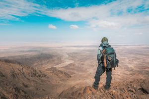
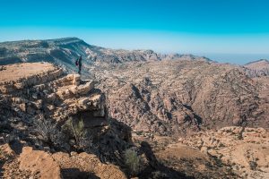
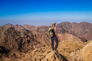
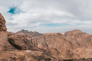
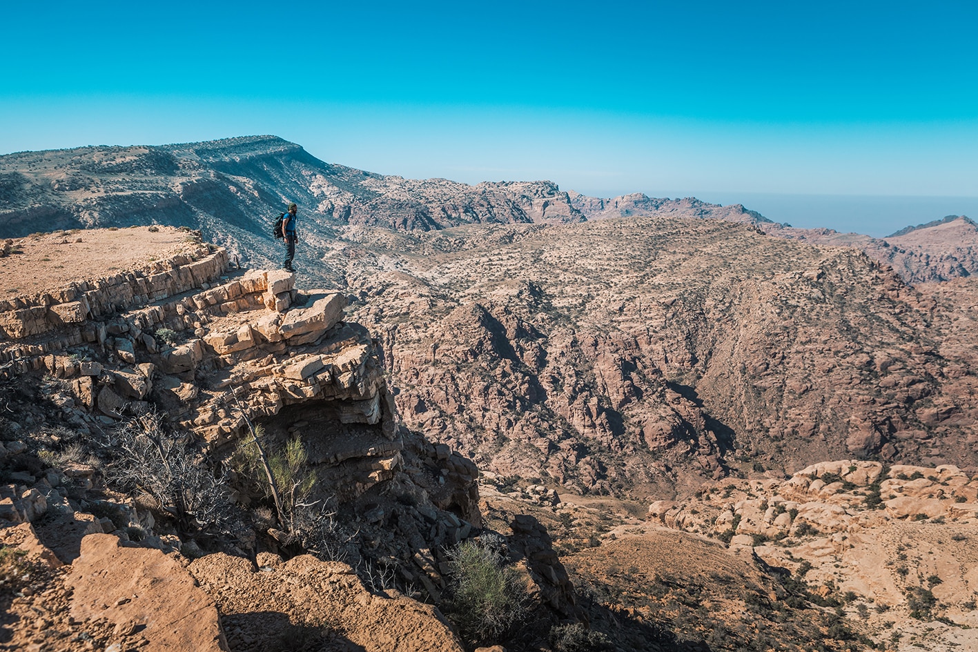
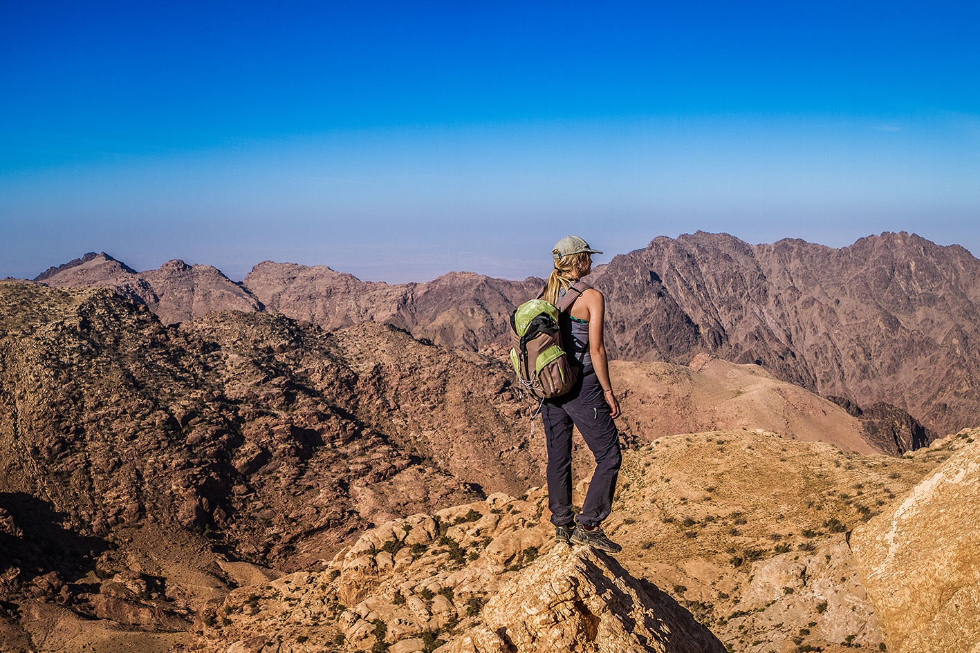
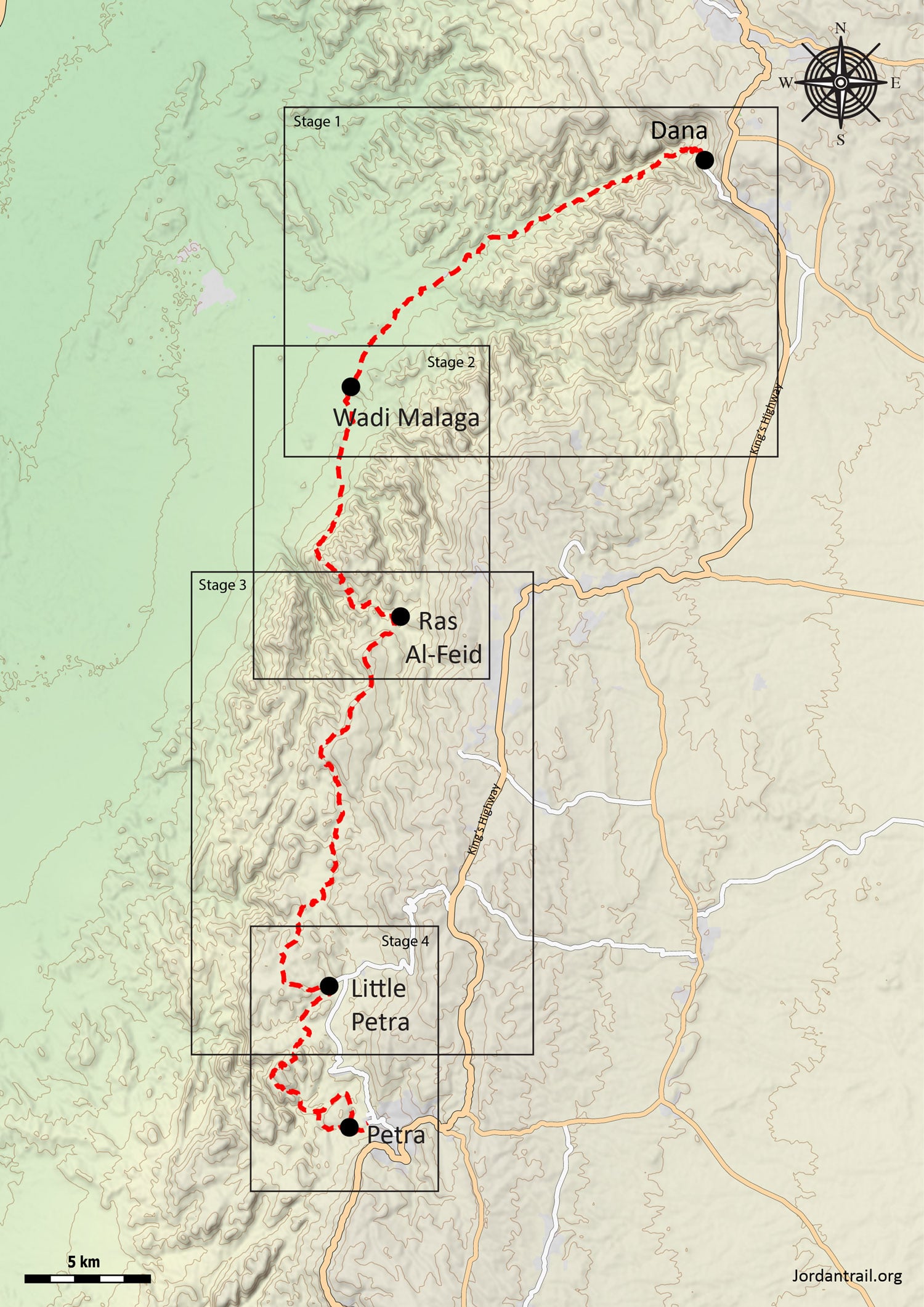
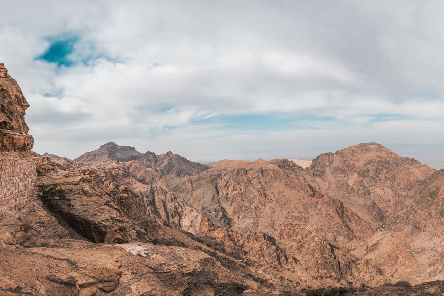
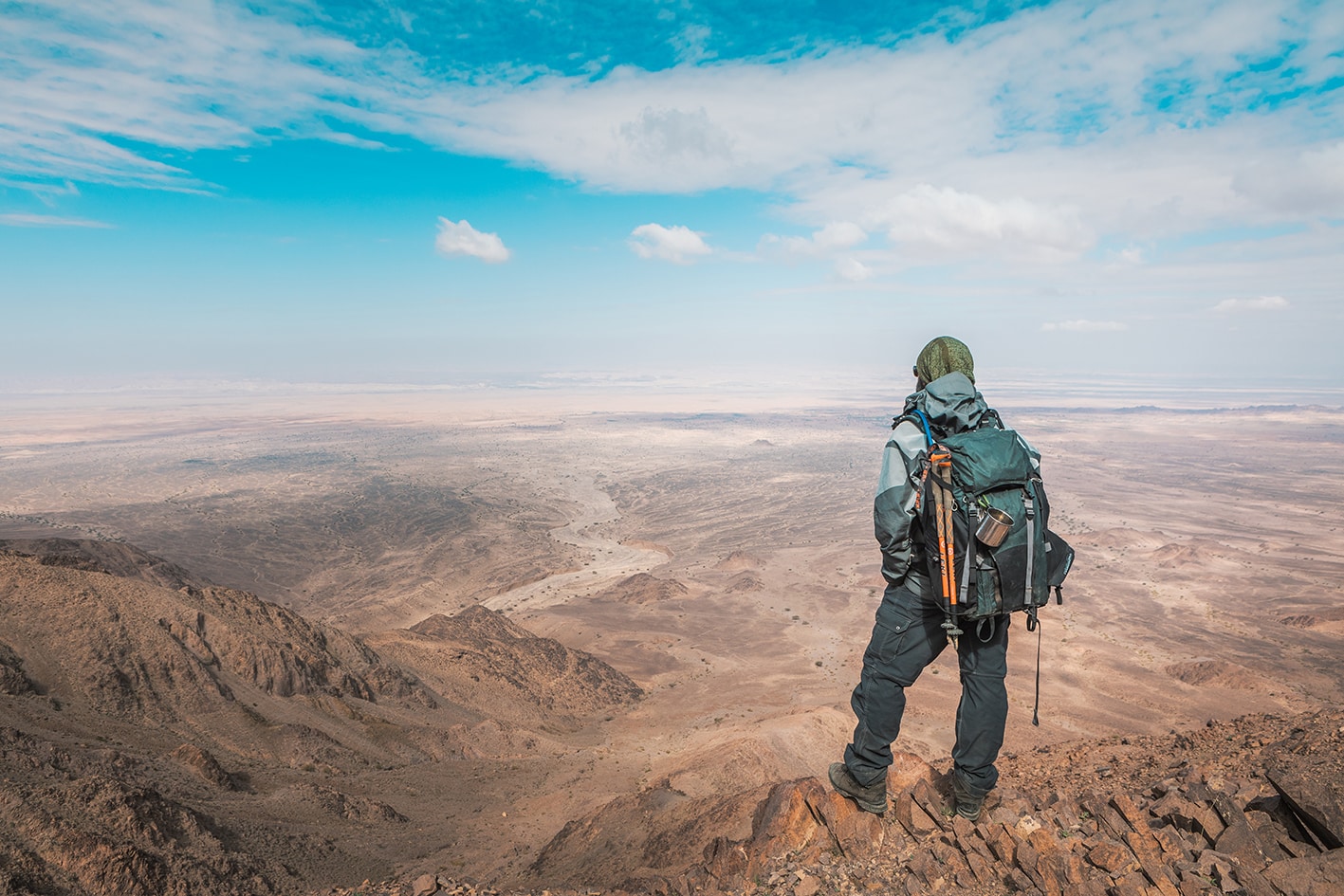
    يُعتبر هذا القسم من أفضل مسارات المشي متعددة الأيام في العالم، وقد اعترفت به ناشيونال جيوغرافيك كأحد أفضل 15 مسارًا للمشي عالميًا. ينحدر الدرب من محمية دانا للمحيط الحيوي مارًّا بمناجم النحاس القديمة قرب فينان نحو وادي عربة، قبل الصعود عبر الجبال الوعرة باتجاه العاصمة النبطية **البتراء**. يتغير المشهد الطبيعي باستمرار، من قمم جبلية رائعة وأودية مخفية إلى تلال شاهقة ومواقع أثرية قديمة، مما يوفر تجربة مشي متنوعة طوال الطريق. وتختتم الرحلة عند واحدة من أعظم العجائب الأثرية في العالم.


    ملاحظات مهمه:
    يرجى التواصل مع إدارة محمية ضانا قبل دخول المحمية لدفع رسوم الدخول. رقم الهاتف: 0799111434.
    يتطلب الدخول إلى البتراء تصريحًا، والذي يمكن شراؤه الآن من مكتب التذاكر الجديد في قرية الثقافة النبطية دون الحاجة أولًا لزيارة مكتب تذاكر البتراء الرئيسي في وادي موسى. يمكن مشاهدة المكتب الجديد عبر خدمة خرائط جوجل هنا: [https://maps.app.goo.gl/Q4icrHaa94rcucWdA]

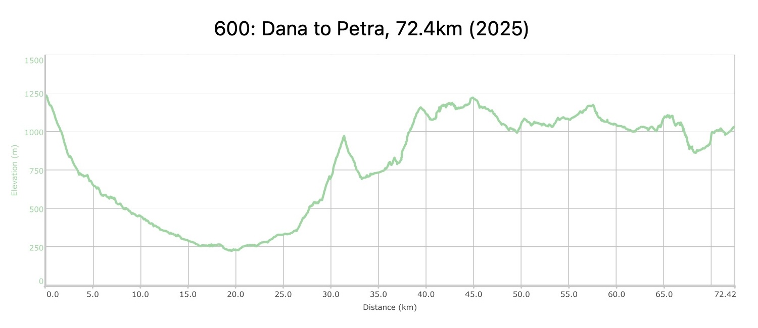
    أربعة أيام المسافة: 72.4 كم الارتفاع الصاعد: 2,825 م الإنحدار: 3,027 م اقصر ارتفاع: 1,236 م أدنى ارتفاع: 221 م

  • أبرز المواقع في هذه المنطقة:

  • محمية ضانا للمحيط الحيوي

  • آثار فينان ومناجم النحاس القديمة

  • نزل فينان البيئي

  • جدول وشلال مخفي في وادي الفيض

  • البتراء الصغيرة، حصن من البتراء بأسلوب المدينة المنحوتة في الصخور

  • البتراء، عاصمة النبطيين وإحدى عجائب العالم (موقع تراث عالمي)

لتحميل مسار GPS،  اضغط هنا. 

أنقر هنا

The Jordan Trail is a newly established trail, and is not marked. It is therefore our strong recommendation that you hire a local guide for your safety as many sections are remote with limited water sources and at times no connectivity.
By downloading these maps/GPX you take full responsibility for their use and accuracy; Jordan Trail Association does not warrant the accuracy or completeness of the information, materials or the reliability of any maps as they provided AS IS without warranty of any kind, either express or implied, including but not limited to, fitness for a particular purpose, or non-infringement ;You acknowledge that any reliance on any such maps, shall be at your sole risk and responsibility as Hiking, backpacking, and other outdoor activities all have potential hazards involving risk of injury or death. Outdoor activities have inherent risks and you should ensure you have the skill level and abilities suitable for the activities in Jordan to partake in them and to take all precaution measures.  Check the data on Google Earth or other Apps or Programs before using them.  The Jordan Trail Association shall not be held responsible for any incidents that may occur during your participation in any activity and/or by using any of the maps/GPX.
AGREE
close-link
لتحميل الخريطة

وسائل النقل الإقليمية

يمكن الوصول إلى مدينة وادي موسى المجاورة للبتراء عبر وسائل النقل العامة (حافلات صغيرة من عمّان أو العقبة، أو حافلات سياحية تابعة لشركة JETT من عمّان، التي تعمل بمواعيد محددة وتوفر راحة أكبر لكنها أغلى قليلاً). لا يمكن الوصول إلى أي نقطة أخرى على الدرب بواسطة وسائل النقل العامة، كما أن معظم المسار غير متاح للوصول إليه بأي نوع من المركبات!


لمزيد من المعلومات حول وسائل النقل في الأردن، اضغط هنا.

الإقامة

يوجد العديد من الفنادق وبيوت الضيافة في قرية ضانا، التي تقع فوق الوادي مباشرة، كما أن نزل فينان البيئي يقع عند مدخل الوادي. هناك أيضًا عدة مخيمات بدوية في منطقة البتراء الصغيرة بالقرب من المسار، من بينها مخيم الصخور الذي يقع على الطريق. أما وادي موسى، وبسبب قربها من البتراء، فتضم عددًا كبيرًا من الفنادق يصعب حصرها في قائمة واحدة.


تُحدد أماكن التخييم البرّي المثالية بناءً على توفر الماء أو إمكانية الوصول إليها بواسطة شاحنة التزويد. جميع المناطق، باستثناء محمية ضانا (التي تمتد على طول الوادي وتنتهي في منطقة فينان)، تسمح بالتخييم البرّي قانونيًا. يوجد موقع تخييم عند مدخل وادي أبو سكّاكين، ويتوفر به ماء يبعد حوالي 45 دقيقة سيرًا على الأقدام داخل الوادي؛ كما قد تكون المناطق القريبة من المياه الجارية في وادي الفيض مناسبة للتخييم؛ أما مناطق قبور الوحدات والفرش، الواقعة قبل البتراء الصغيرة، فتوفر مواقع تخييم ذات مناظر خلابة لكنها أقل عزلة وتقع في مناطق يسكنها السكان المحليون.

The Jordan Trail is a newly established trail, and is not marked. It is therefore our strong recommendation that you hire a local guide for your safety as many sections are remote with limited water sources and at times no connectivity.
By downloading these maps/GPX you take full responsibility for their use and accuracy; Jordan Trail Association does not warrant the accuracy or completeness of the information, materials or the reliability of any maps as they provided AS IS without warranty of any kind, either express or implied, including but not limited to, fitness for a particular purpose, or non-infringement ;You acknowledge that any reliance on any such maps, shall be at your sole risk and responsibility as Hiking, backpacking, and other outdoor activities all have potential hazards involving risk of injury or death. Outdoor activities have inherent risks and you should ensure you have the skill level and abilities suitable for the activities in Jordan to partake in them and to take all precaution measures.  Check the data on Google Earth or other Apps or Programs before using them.  The Jordan Trail Association shall not be held responsible for any incidents that may occur during your participation in any activity and/or by using any of the maps/GPX.
AGREE
close-link

The Jordan Trail is a newly established trail, and is not marked. It is therefore our strong recommendation that you hire a local guide for your safety as many sections are remote with limited water sources and at times no connectivity.
By downloading these maps/GPX you take full responsibility for their use and accuracy; Jordan Trail Association does not warrant the accuracy or completeness of the information, materials or the reliability of any maps as they provided AS IS without warranty of any kind, either express or implied, including but not limited to, fitness for a particular purpose, or non-infringement ;You acknowledge that any reliance on any such maps, shall be at your sole risk and responsibility as Hiking, backpacking, and other outdoor activities all have potential hazards involving risk of injury or death. Outdoor activities have inherent risks and you should ensure you have the skill level and abilities suitable for the activities in Jordan to partake in them and to take all precaution measures.  Check the data on Google Earth or other Apps or Programs before using them.  The Jordan Trail Association shall not be held responsible for any incidents that may occur during your participation in any activity and/or by using any of the maps/GPX.
AGREE
close-link
AR