

0
0 items
No products in the cart.
0
0 items
No products in the cart.

المنطقة الأولى - أم قيس إلى عجلون

  • التفاصيل

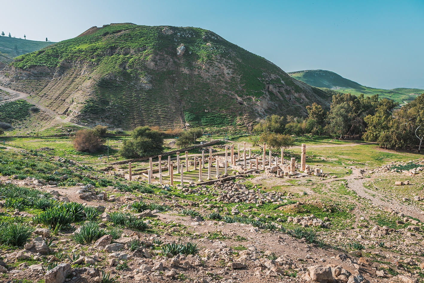
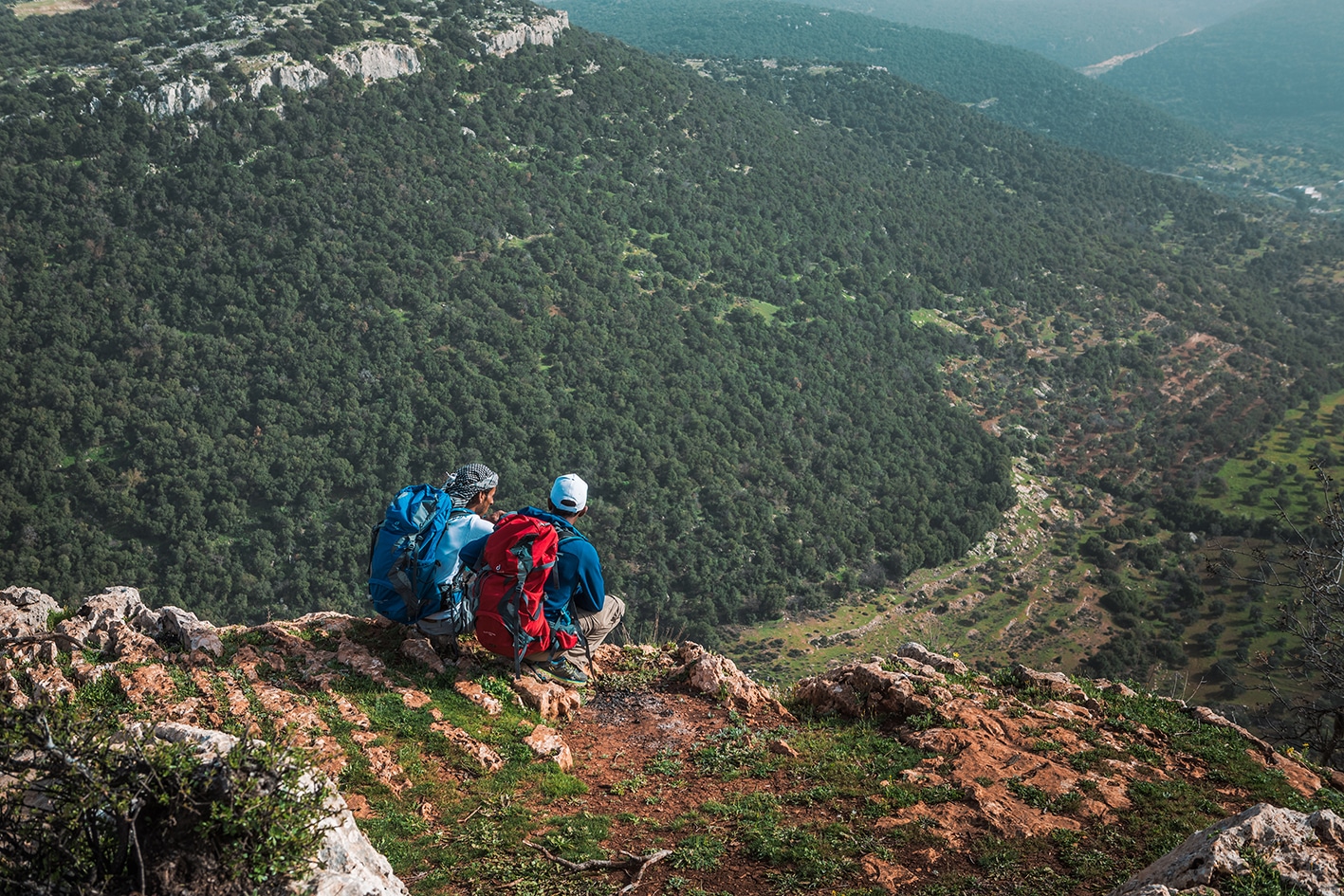
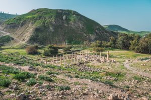
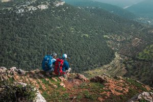
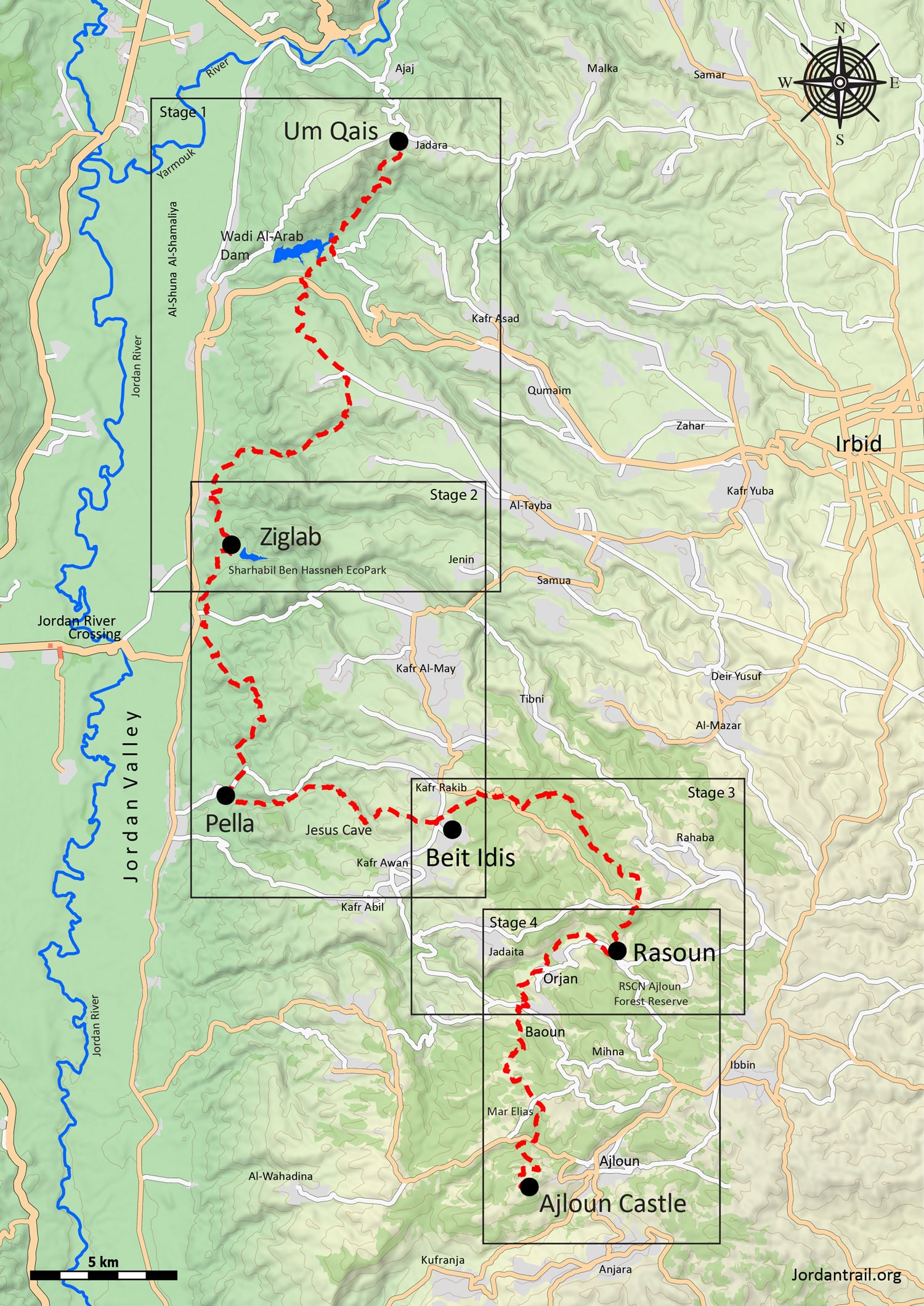
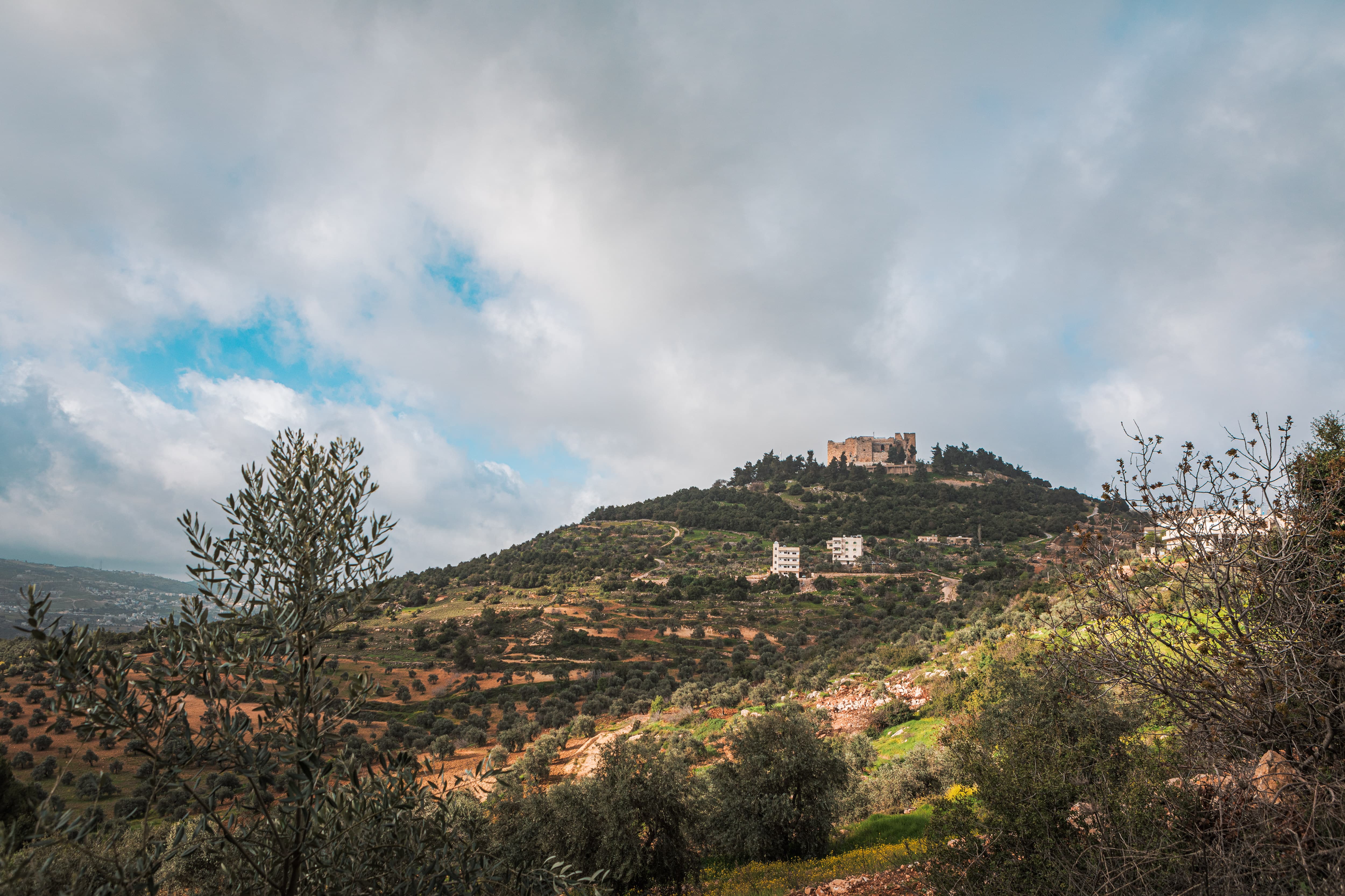
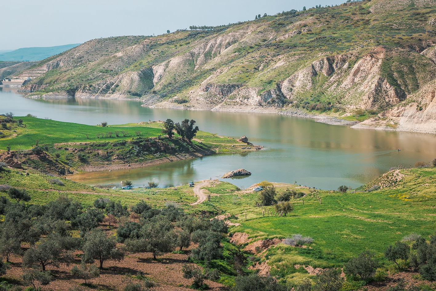
    في أكثر مناطق الأردن خضرةً وأقصاها شمالًا، يتعرّج المسار عبر تلال وأودية تحتضن بقايا حضارات عريقة. يمتد وادي الأردن الخصيب في الأسفل، بينما تشكّل المراعي العشبية على التلال المحيطة وغابات البلوط في أعالي الجبال خلفية طبيعية ساحرة للرحلة بين مواقع تاريخية تعود إلى الألفي عام الماضية وما قبلها. كما تضيف الينابيع الحارة، وأشجار الزيتون المعمّرة الضخمة، والكهوف، والهياكل الغامضة التي تعود إلى عصور ما قبل التاريخ، والمدن الرومانية، مزيدًا من العمق لهذا المشهد الشمالي. وتُسهم القرى التي تقود مبادرات سياحة مجتمعية مبتكرة في إضفاء بُعد ثقافي فريد وذي قيمة على هذه المنطقة من الأردن.

    أربعة أيام المسافة: 78 كيلومترًا الارتفاع الصاعد: 3,430 متر الانحدار: 2,831 متر أقصى ارتفاع: 958 متر أدنى ارتفاع: -188 متر

  • أبرز المواقع في هذه المنطقة:

  • آثار مدن الديكابولس الرومانيتين في أم قيس وبيلا

  • • Wadi Al-Arab Dam & Ziglab Dam

  • آثار الدير البيزنطي في تل مار إلياس، الموقع المعتقد لمولد النبي إلياس

  • السياحة المجتمعية والمشاهد الريفية في قرى العيون

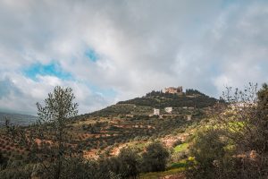
  • قلعة عجلون التاريخية الشامخة على قمّة الجبل، إحدى معالم العصور الوسطى البارزة

لتحميل مسار GPS،  اضغط هنا. 

أنقر هنا

   
The Jordan Trail is a newly established trail, and is not marked. It is therefore our strong recommendation that you hire a local guide for your safety as many sections are remote with limited water sources and at times no connectivity.
By downloading these maps/GPX you take full responsibility for their use and accuracy; Jordan Trail Association does not warrant the accuracy or completeness of the information, materials or the reliability of any maps as they provided AS IS without warranty of any kind, either express or implied, including but not limited to, fitness for a particular purpose, or non-infringement ;You acknowledge that any reliance on any such maps, shall be at your sole risk and responsibility as Hiking, backpacking, and other outdoor activities all have potential hazards involving risk of injury or death. Outdoor activities have inherent risks and you should ensure you have the skill level and abilities suitable for the activities in Jordan to partake in them and to take all precaution measures.  Check the data on Google Earth or other Apps or Programs before using them.  The Jordan Trail Association shall not be held responsible for any incidents that may occur during your participation in any activity and/or by using any of the maps/GPX.
AGREE
close-link
لتحميل الخريطة

وسائل النقل الإقليمية

يمكن الوصول إلى عجلون من عمّان أو من المدن الكبرى الأخرى بواسطة الحافلات العامة؛ والتي، كما هو الحال دائمًا في الأردن، لا تلتزم بجدول زمني محدد بل تنطلق عند امتلائها. أما وسائل النقل إلى بقية نقاط الدرب فغير مضمونة كثيرًا، رغم وجود حافلات صغيرة تسير بشكل غير منتظم على طريق وادي الأردن، مارّة بالقرب من بيلا. كما تُعتبر سيارات الأجرة الخاصة خيارًا متاحًا في معظم الأحيان في المنطقة. تستغرق رحلة الحافلة بين عمّان وعجلون حوالي ساعة ونصف عند انطلاقها، وتكلفتها تقارب دينارًا أردنيًا واحدًا.

لمزيد من المعلومات حول وسائل النقل في الأردن، اضغط هنا

الإقامة

Accommodations are available throughout the region in the form of guesthouses or hotels, near Pella, and in Ajloun; family stays are also available in Beit Idis and in particular in Orjan, Baoun, and Rasoun, where many families are prepared to host travelers. Family stays operate something like a bed-and-breakfast in a family’s home, including dinner and breakfast and a packed lunch, and are generally a very social experience. The al-Ayoun region is the hub of this form of community-based tourism in Jordan and offers a unique experience for travelers who are interested.

التخييم الحر متاح أيضًا، خاصة في التلال المشجرة حول منطقة العيون. وكما هو الحال دائمًا، يُرجى تجنب التخييم على الأراضي الخاصة والالتزام بمبادئ "لا تترك أثرًا" للحفاظ على البيئة.
 
The Jordan Trail is a newly established trail, and is not marked. It is therefore our strong recommendation that you hire a local guide for your safety as many sections are remote with limited water sources and at times no connectivity.
By downloading these maps/GPX you take full responsibility for their use and accuracy; Jordan Trail Association does not warrant the accuracy or completeness of the information, materials or the reliability of any maps as they provided AS IS without warranty of any kind, either express or implied, including but not limited to, fitness for a particular purpose, or non-infringement ;You acknowledge that any reliance on any such maps, shall be at your sole risk and responsibility as Hiking, backpacking, and other outdoor activities all have potential hazards involving risk of injury or death. Outdoor activities have inherent risks and you should ensure you have the skill level and abilities suitable for the activities in Jordan to partake in them and to take all precaution measures.  Check the data on Google Earth or other Apps or Programs before using them.  The Jordan Trail Association shall not be held responsible for any incidents that may occur during your participation in any activity and/or by using any of the maps/GPX.
AGREE
close-link

   
The Jordan Trail is a newly established trail, and is not marked. It is therefore our strong recommendation that you hire a local guide for your safety as many sections are remote with limited water sources and at times no connectivity.
By downloading these maps/GPX you take full responsibility for their use and accuracy; Jordan Trail Association does not warrant the accuracy or completeness of the information, materials or the reliability of any maps as they provided AS IS without warranty of any kind, either express or implied, including but not limited to, fitness for a particular purpose, or non-infringement ;You acknowledge that any reliance on any such maps, shall be at your sole risk and responsibility as Hiking, backpacking, and other outdoor activities all have potential hazards involving risk of injury or death. Outdoor activities have inherent risks and you should ensure you have the skill level and abilities suitable for the activities in Jordan to partake in them and to take all precaution measures.  Check the data on Google Earth or other Apps or Programs before using them.  The Jordan Trail Association shall not be held responsible for any incidents that may occur during your participation in any activity and/or by using any of the maps/GPX.
AGREE
close-link
AR