Search
Close this search box.

SECTION 204.1 :RMEIMEEN TO FUHAIS

  • مسارات المشي في المنطقة

  • DAY 4: RMEIMEEN TO FUHAIS​

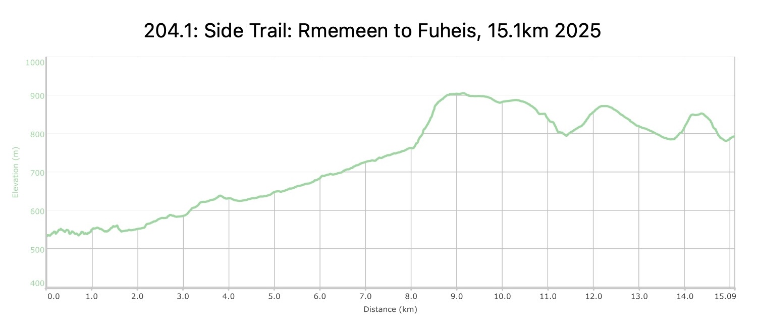
  • المسافة: 15.1 كيلومتر

  • الوقت: 6 hour

  • التحديات الجسدية: متوسط

  • تحديات المسار: متوسط

  • التحديد على المسار: No

لتحميل مسار GPS، اضغط هنا.  

The Jordan Trail is a newly established trail, and is not marked. It is therefore our strong recommendation that you hire a local guide for your safety as many sections are remote with limited water sources and at times no connectivity.
By downloading these maps/GPX you take full responsibility for their use and accuracy; Jordan Trail Association does not warrant the accuracy or completeness of the information, materials or the reliability of any maps as they provided AS IS without warranty of any kind, either express or implied, including but not limited to, fitness for a particular purpose, or non-infringement ;You acknowledge that any reliance on any such maps, shall be at your sole risk and responsibility as Hiking, backpacking, and other outdoor activities all have potential hazards involving risk of injury or death. Outdoor activities have inherent risks and you should ensure you have the skill level and abilities suitable for the activities in Jordan to partake in them and to take all precaution measures.  Check the data on Google Earth or other Apps or Programs before using them.  The Jordan Trail Association shall not be held responsible for any incidents that may occur during your participation in any activity and/or by using any of the maps/GPX.
AGREE
close-link

أنقر هنا

The Jordan Trail is a newly established trail, and is not marked. It is therefore our strong recommendation that you hire a local guide for your safety as many sections are remote with limited water sources and at times no connectivity.
By downloading these maps/GPX you take full responsibility for their use and accuracy; Jordan Trail Association does not warrant the accuracy or completeness of the information, materials or the reliability of any maps as they provided AS IS without warranty of any kind, either express or implied, including but not limited to, fitness for a particular purpose, or non-infringement ;You acknowledge that any reliance on any such maps, shall be at your sole risk and responsibility as Hiking, backpacking, and other outdoor activities all have potential hazards involving risk of injury or death. Outdoor activities have inherent risks and you should ensure you have the skill level and abilities suitable for the activities in Jordan to partake in them and to take all precaution measures.  Check the data on Google Earth or other Apps or Programs before using them.  The Jordan Trail Association shall not be held responsible for any incidents that may occur during your participation in any activity and/or by using any of the maps/GPX.
AGREE
close-link
لتحميل الخريطة
أرقام مهمة

الشرطة السياحية:

الخط الساخن: 117777
واتساب: +962770992690

*في حال التواصل مع شرطة السياحة في حالة طارئة، يُرجى تحديد أنك تسير على درب الأردن، وذكر جنسيتك، موقعك الحالي، واسم ورقم الخريطة.

مكتب جمعية درب الأردن: +962 6 461 0999

(ساعات العمل: من 9:00 صباحًا حتى 5:00 مساءً، من الأحد إلى الخميس)

معلومات عامة

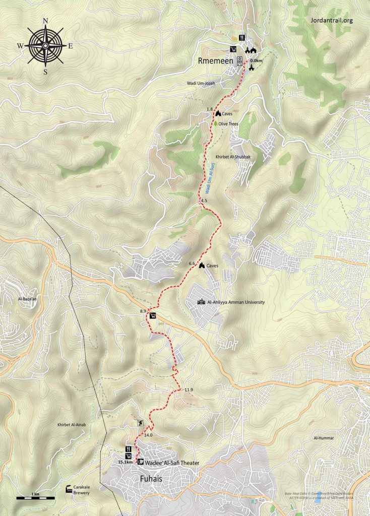
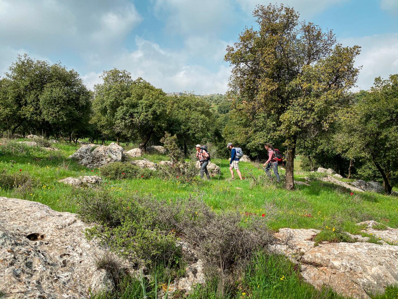
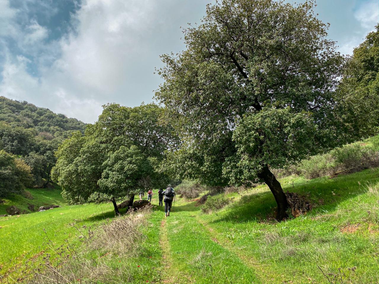
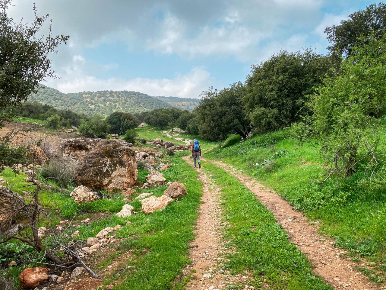
Leave the village by the road and continue along a good track up a deep valley between gardens, eventually rising up to cross a highway near Al Ahliyya university, then making you way around the head of the next valley touching the outskirts of the Christian town of Fuheis. The Carakale Brewery is a few kilometers beyond the stage end.

وسائل النقل

يمكنك استقلال مركبة على طريق السلط-عمان الرئيسي.

There’s a bus to Fuheis from Amman (from main King Hussein Park)

ACCOMMODATIONS

Fuheis– Hotels are rumored to exist in town, but none that can be booked online. Contact the JTA for the latest information

أهم المعالم التي يمكن مشاهدتها
  • مساجد وكنائس رميمين
  • كهوف
  • الكنائس القديمة
  • جامعة عمان الأهلية.
  • Fuheis Sport Climbing routes
  • Fuheis Church
  • Wadee’ Al-Safi Theater (Fuheis)
  • Carakale Brewery
الطعام والماء

الطعام:

  • Shops and restaurants are available in Rmemeen and Fuhais
  • متجر عند إشارة المرور – سوبرماركت بلاك آيرس ومطعم فلافل.
  • In Fuheis, near the St. George statue, there is a shop owned by Basil who has spent time in US and speaks English well.
  • Zuwwadeh Restaurant.

الماء:

  • At the traffic light mid-way are various small shops with drinks.
  • Two artesian wells are in the wadi. They are fenced and posted that entrance is prohibited, but if a guard is present, you may be able to get water.
  • Rmemeen & Fuheis
النصائح والسلامة العامة

النصائح::

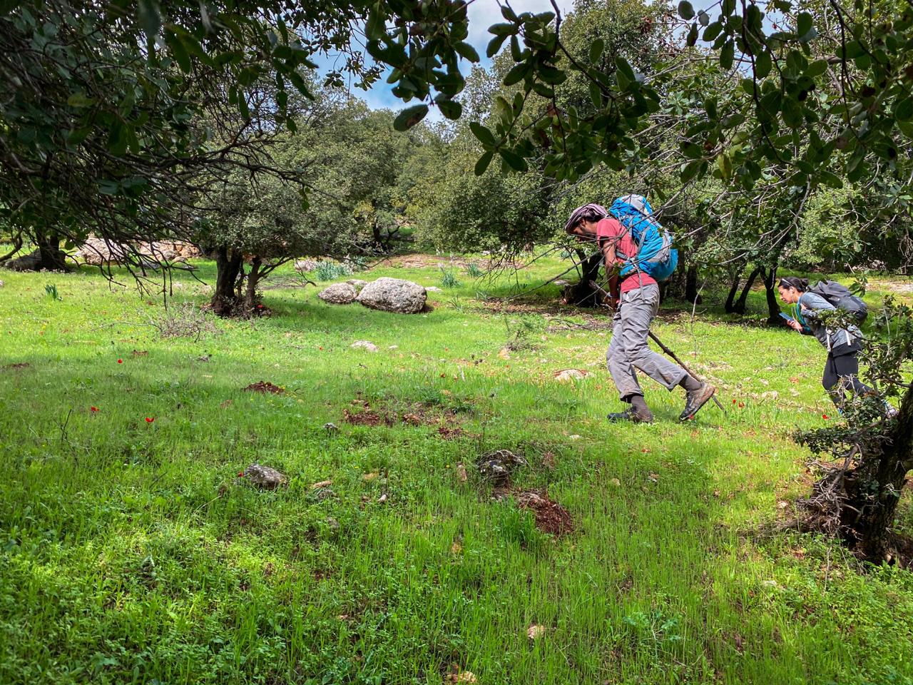
  • There is more shade on the first half of the stage.
  • Second half of the stage is not so pleasant with a garbage dump, prison, junkyard, and dogs. It’s worth considering skipping ahead from the Salt-Amman road.
  • ATM machines are available in Fuhais.
  • A gear store is located in Fuheis: Camping Gear Amman (https://web.facebook.com/Camping-gear-Amman-1027481237266436/)
  • Bathrooms are available in restaurants and Mosques along the stage.
  • Mobile service available all the time.
     

السلامة العامة:

  • Animals – Some aggressive guard dogs
  • Dehydration/heat exhaustion – There is little shade on the second half of the route.
جهات الاتصال المحلية

Abu Ragheb (Rmemeen) – 0788436068
Ra’eda al Naser (Fuheis) – 0772542882
Sameh al Naser (Fuheis) – 0777636355

وسائل النقل الإقليمية

نحن لا نزال نجمع هذه المعلومات. هل لديك أي تفاصيل قد تكون مفيدة؟

لمزيد من المعلومات حول وسائل النقل في الأردن، اضغط هنا.

The Jordan Trail is a newly established trail, and is not marked. It is therefore our strong recommendation that you hire a local guide for your safety as many sections are remote with limited water sources and at times no connectivity.
By downloading these maps/GPX you take full responsibility for their use and accuracy; Jordan Trail Association does not warrant the accuracy or completeness of the information, materials or the reliability of any maps as they provided AS IS without warranty of any kind, either express or implied, including but not limited to, fitness for a particular purpose, or non-infringement ;You acknowledge that any reliance on any such maps, shall be at your sole risk and responsibility as Hiking, backpacking, and other outdoor activities all have potential hazards involving risk of injury or death. Outdoor activities have inherent risks and you should ensure you have the skill level and abilities suitable for the activities in Jordan to partake in them and to take all precaution measures.  Check the data on Google Earth or other Apps or Programs before using them.  The Jordan Trail Association shall not be held responsible for any incidents that may occur during your participation in any activity and/or by using any of the maps/GPX.
AGREE
close-link