0
0 items
No products in the cart.

القسم 302: عراق الأمير إلى حسبان

  • مسارات المشي في المنطقة

  • اليوم الثاني: عراق الأمير إلى حسبان

  • المسافة: 20.7 كم

  • الوقت اللازم للمسير: 5-6 ساعات

  • التحدي البدني: صعب

  • صعوبة المسار: صعب

  • اجمالي الصعوبة: صعب

  • تعليم المسار: نعم

لتحميل مسار GPS، اضغط هنا.  

The Jordan Trail is a newly established trail, and is not marked. It is therefore our strong recommendation that you hire a local guide for your safety as many sections are remote with limited water sources and at times no connectivity.
By downloading these maps/GPX you take full responsibility for their use and accuracy; Jordan Trail Association does not warrant the accuracy or completeness of the information, materials or the reliability of any maps as they provided AS IS without warranty of any kind, either express or implied, including but not limited to, fitness for a particular purpose, or non-infringement ;You acknowledge that any reliance on any such maps, shall be at your sole risk and responsibility as Hiking, backpacking, and other outdoor activities all have potential hazards involving risk of injury or death. Outdoor activities have inherent risks and you should ensure you have the skill level and abilities suitable for the activities in Jordan to partake in them and to take all precaution measures.  Check the data on Google Earth or other Apps or Programs before using them.  The Jordan Trail Association shall not be held responsible for any incidents that may occur during your participation in any activity and/or by using any of the maps/GPX.
AGREE
close-link
اضغط هنا لتحميل الخريطة
أرقام مهمة

الشرطة السياحية:

الخط الساخن: 117777
واتساب: +962770992690

*في حال التواصل مع شرطة السياحة في حالة طارئة، يُرجى تحديد أنك تسير على درب الأردن، وذكر جنسيتك، موقعك الحالي، واسم ورقم الخريطة.

مكتب جمعية درب الأردن: +962 6 461 0999

(ساعات العمل: من 9:00 صباحًا حتى 5:00 مساءً، من الأحد إلى الخميس)

معلومات عامة

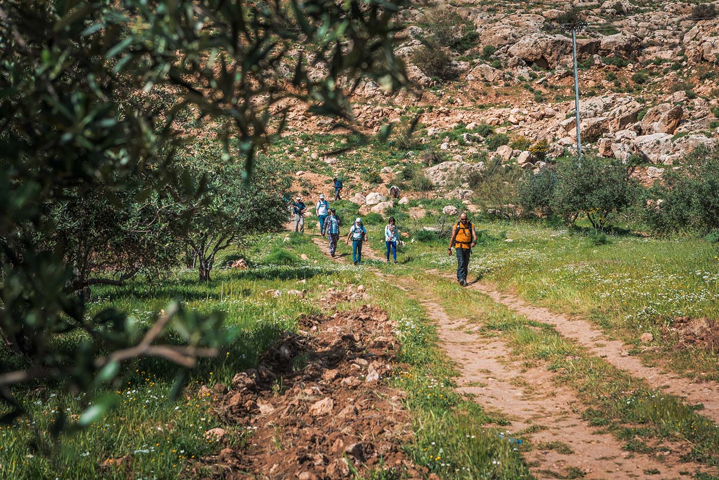
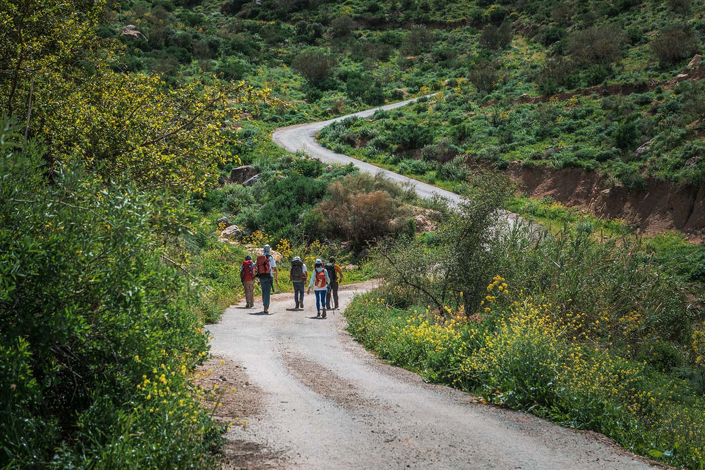
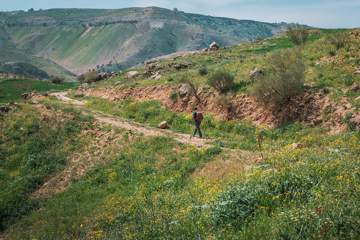
اتجه جنوبًا عبر التلال التي تكشف عن إطلالات رائعة على وادي الأردن نحو فلسطين، ثم اعبر الطريق الرئيسي مرورًا بالمقابر لتصل إلى منطقة حسبان.

وسائل النقل
أقرب محطة حافلات تقع عند الدوار الثامن، ومن هناك يمكنك أخذ حافلة، أو سيارة أجرة خاصة (أصفر)، أو سيارة أجرة مشتركة "سرفيس" (أبيض) للوصول إلى عراق الأميرلا يوجد جدول محدد لانطلاق الحافلات؛ فهي تغادر حالما تكتمل المقاعد.
جهات الاتصال المحلية / أماكن الإقامة
  • التخييم البري, محمد البراري, 962795097211+, ختم الدرب (حسبان)
أهم المعالم التي يمكن مشاهدتها

منظار وادي الأردن

غابة حسبان

الطعام والماء
  • مصادر المياه: عراق الأمير في القرية
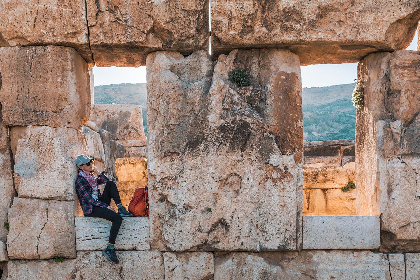
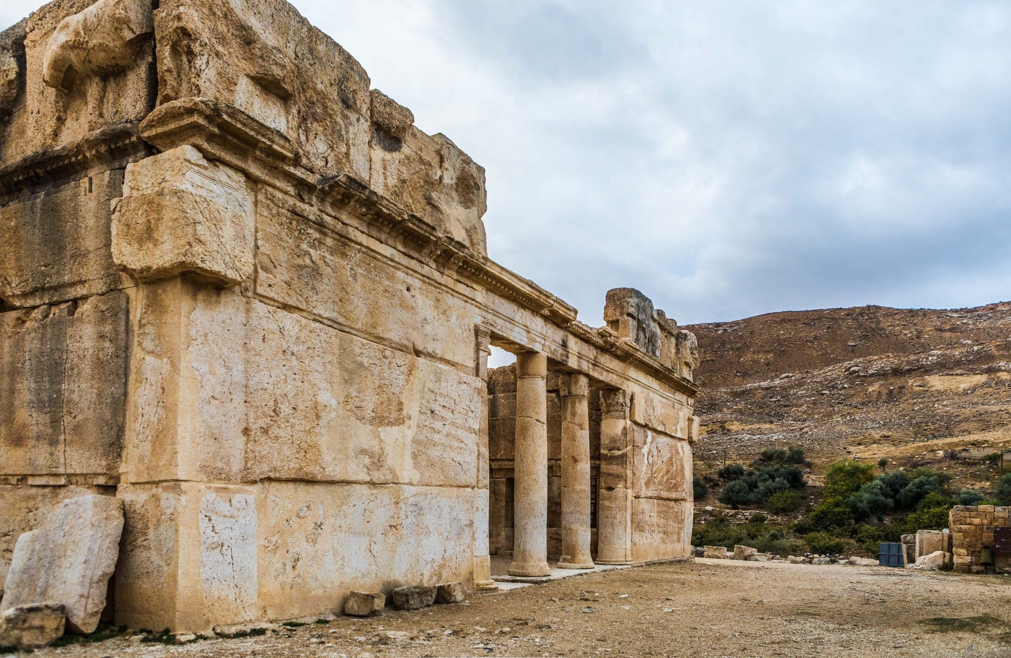
  • دورات المياه متوفرة في منطقة عراق الأمير في قصر العبد وجمعية نساء عراق الأمير التعاونية.
  • تواصل مع جمعية درب الأردن للمزيد من المعلومات
النصائح والسلامة العامة

النصائح:

-النصف الثاني من المسار قد يكون أكثر صعوبة بسبب الصعود المتواصل.
-يجب توخي الحذر عند عبور الطريق الرئيسي (طريق البحر الميت).

السلامة العامة: 

أرضية غير ثابتة – توجد فقط بضع مقاطع قصيرة جدًا عند الصعود أو النزول على الممر، حيث تكون الأرضية غير مستقرة قليلًا.

الحيوانات – قد يصادف المتنزهون كلاب الرعاة أثناء المسير.
الجفاف/الإرهاق الحراري – احرص على اتخاذ الاحتياطات اللازمة، خاصة في القسم الأدنى والأكثر حرارة بعد عراق الأمير.

جهات الاتصال المحلية
غالب عبادي (سائق سيارة أجرة من عراق الأمير) - 0772193218
 
جمعية عراق الأمير التعاونية للنساء:
  • الهاتف الأرضي: 5481385 06
  • إنعام السكارنة: 0777351620
  • يسرى: 0775931563

غالب عبادي (سائق سيارة أجرة من عراق الأمير) - 0772193218
أبو عمر (قرية عراق الأمير, حارس قصر العبد) - 0777780115

The Jordan Trail is a newly established trail, and is not marked. It is therefore our strong recommendation that you hire a local guide for your safety as many sections are remote with limited water sources and at times no connectivity.
By downloading these maps/GPX you take full responsibility for their use and accuracy; Jordan Trail Association does not warrant the accuracy or completeness of the information, materials or the reliability of any maps as they provided AS IS without warranty of any kind, either express or implied, including but not limited to, fitness for a particular purpose, or non-infringement ;You acknowledge that any reliance on any such maps, shall be at your sole risk and responsibility as Hiking, backpacking, and other outdoor activities all have potential hazards involving risk of injury or death. Outdoor activities have inherent risks and you should ensure you have the skill level and abilities suitable for the activities in Jordan to partake in them and to take all precaution measures.  Check the data on Google Earth or other Apps or Programs before using them.  The Jordan Trail Association shall not be held responsible for any incidents that may occur during your participation in any activity and/or by using any of the maps/GPX.
AGREE
close-link