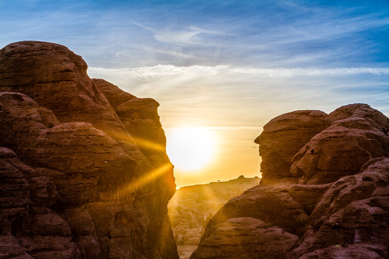
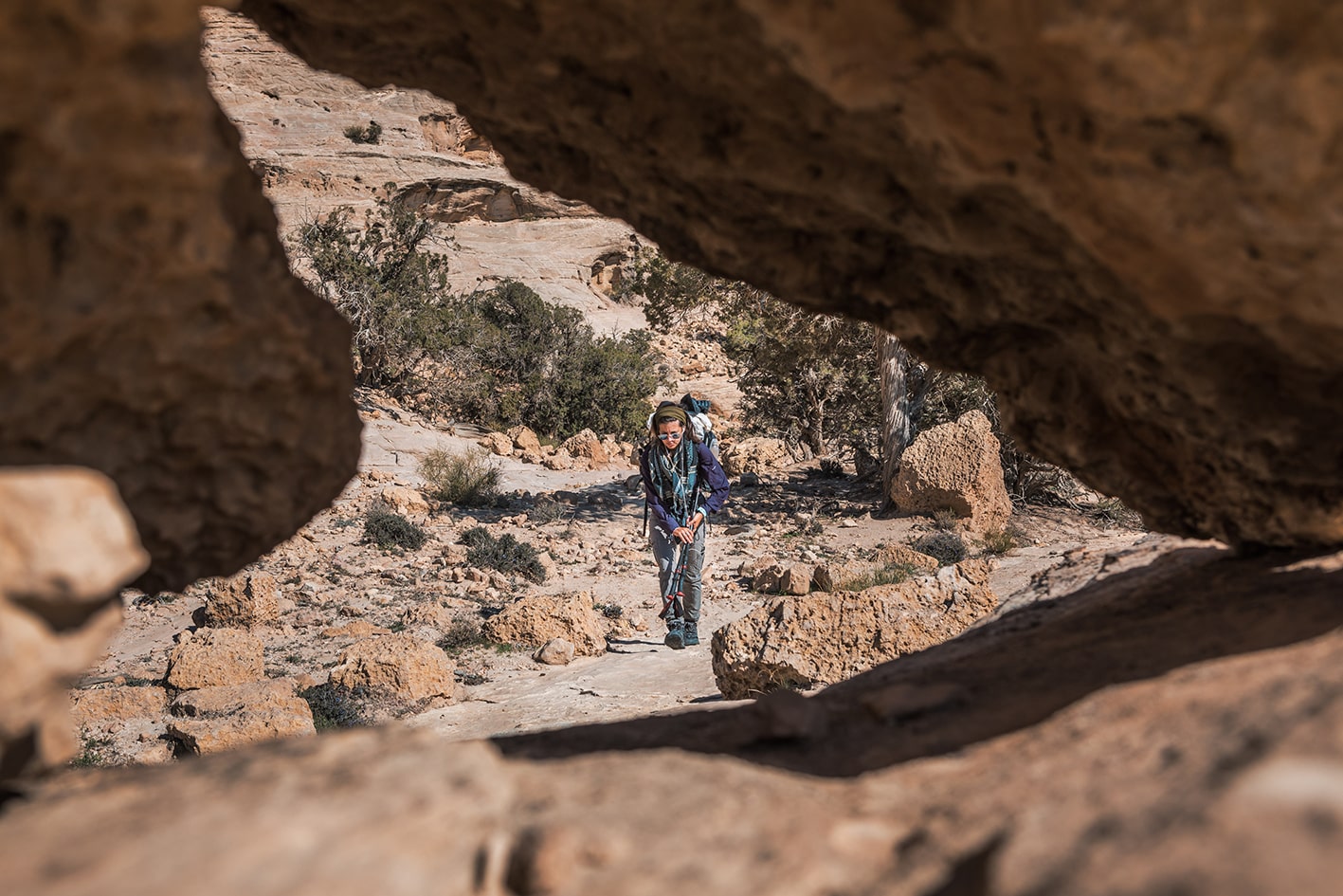
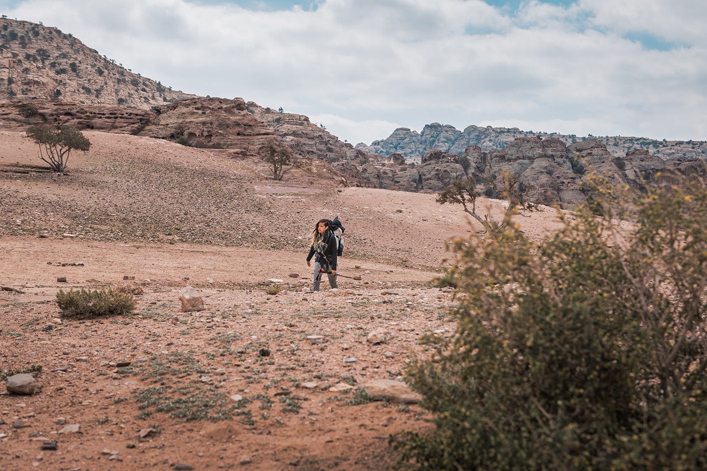
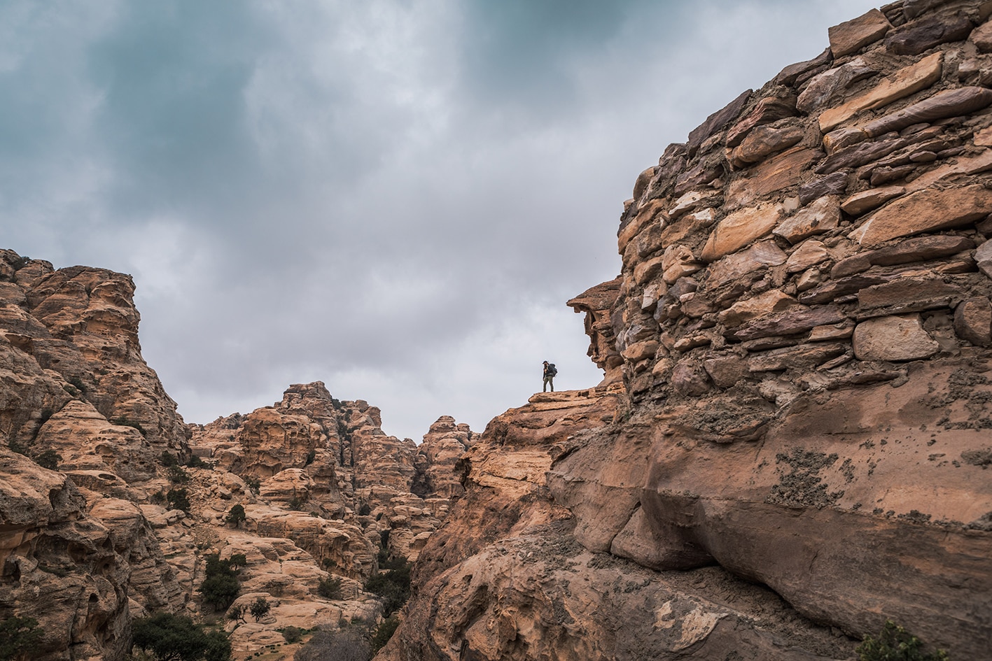
نغادر رأس الفيض عبر تضاريس صخرية من الحجر الرملي. وتنتشر على طول الطريق مناظر خلابة ومتنوعة للمنطقة الصحراوية القاحلة، مع مواجهات مفاجئة مع نباتات وحيوانات صحراوية.
وعند الاقتراب من البترا الصغيرة، تظهر علامات متزايدة على وجود البشر من مخيمات البدو، وحظائر الأغنام، والقطع الزراعية الصغيرة.
ندخل واديًا صغيرًا من الحجر الرملي ونتعرّج من خلاله إلى موقع البيضا.
القسم 603: راس الفيض إلى البتراء الصغيرة
-
مسارات المشي في المنطقة
-
اليوم الثالث: راس الفيض إلى البتراء الصغيرة
-
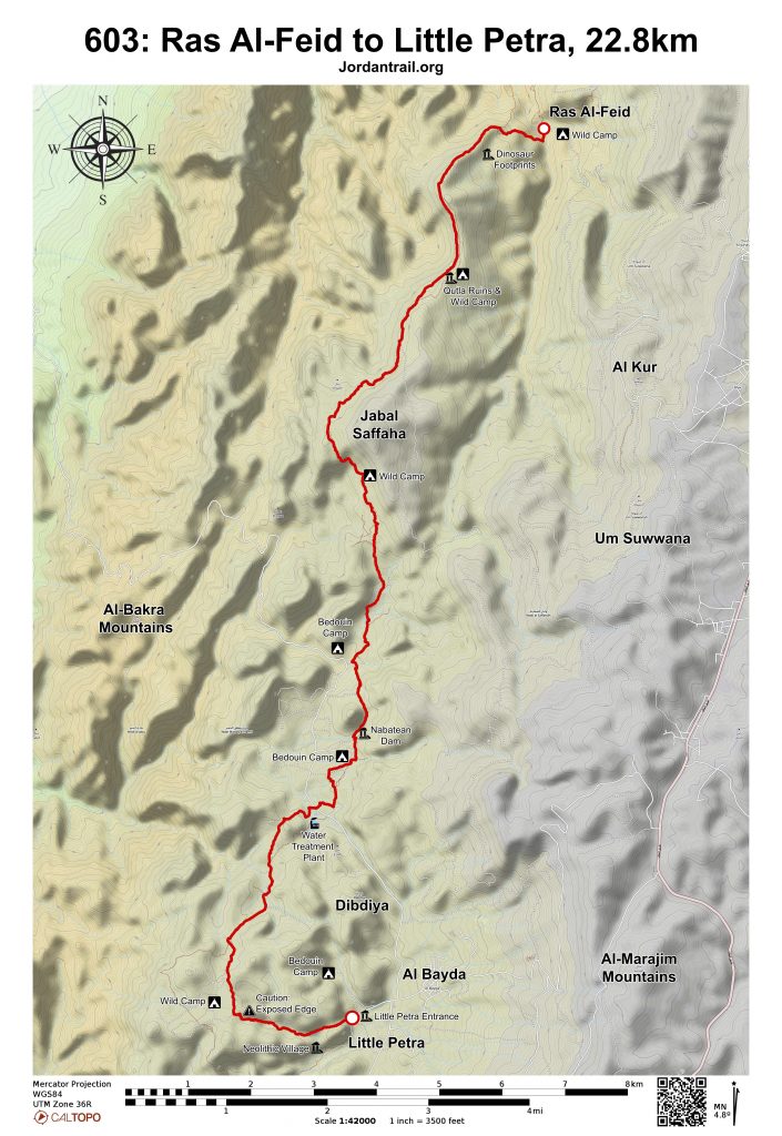
المسافة: 22.8 كم
-
الوقت اللازم للمسير: 8-6 ساعات
-
التحدي البدني: صعب جدًا
-
صعوبة المسار: صعب جدًا
-
اجمالي الصعوبة: صعب جدًا
-
تعليم المسار: لا

- خريطة المسار
- خريطة جوجل
- نظام تحديد المواقع
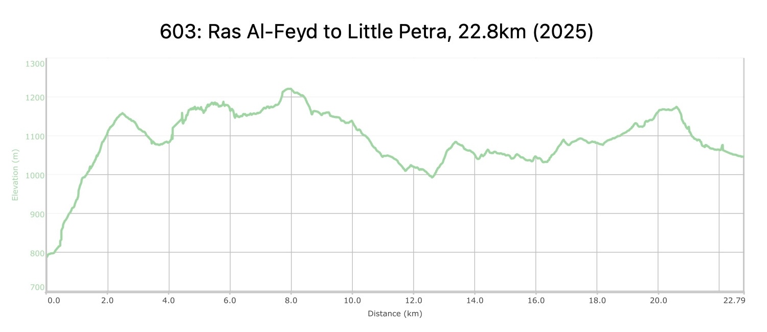
- مخطط الارتفاعات
لتحميل مسار GPS، اضغط هنا.

The Jordan Trail is a newly established trail, and is not marked. It is therefore our strong recommendation that you hire a local guide for your safety as many sections are remote with limited water sources and at times no connectivity.
By downloading these maps/GPX you take full responsibility for their use and accuracy; Jordan Trail Association does not warrant the accuracy or completeness of the information, materials or the reliability of any maps as they provided AS IS without warranty of any kind, either express or implied, including but not limited to, fitness for a particular purpose, or non-infringement ;You acknowledge that any reliance on any such maps, shall be at your sole risk and responsibility as Hiking, backpacking, and other outdoor activities all have potential hazards involving risk of injury or death. Outdoor activities have inherent risks and you should ensure you have the skill level and abilities suitable for the activities in Jordan to partake in them and to take all precaution measures. Check the data on Google Earth or other Apps or Programs before using them. The Jordan Trail Association shall not be held responsible for any incidents that may occur during your participation in any activity and/or by using any of the maps/GPX.

أرقام مهمة
الشرطة السياحية:
الخط الساخن: 117777
واتساب: +962770992690
*في حال التواصل مع شرطة السياحة في حالة طارئة، يُرجى تحديد أنك تسير على درب الأردن، وذكر جنسيتك، موقعك الحالي، واسم ورقم الخريطة.
مكتب جمعية درب الأردن: +962 6 461 0999
(ساعات العمل: من 9:00 صباحًا حتى 5:00 مساءً، من الأحد إلى الخميس)
معلومات عامة
وسائل النقل
منطقة رأس الفيض لا يمكن الوصول إليها إلا باستخدام سيارة دفع رباعي، وأقرب قرية إليها هي الجهير، وتستغرق الرحلة إليها حوالي ساعتين بسيارة 4×4. أما منطقتا قبور الوحدات والفرش، فيمكن الوصول إليهما بسيارة دفع رباعي أو عبر الطريق المعبد الذي يمر بجانب محطة تنقية المياه. لا توجد وسائل نقل عام إلى البترا الصغيرة، ولكن سيارات الأجرة العامة متوفرة بكثرة. وتقع محطة الحافلات الأقرب في وادي موسى، والتي يمكن الوصول إليها في اليوم التالي.
جهات الاتصال المحلية / أماكن الإقامة
- مخيم عمارين, 9620799755551+, حسين عمارين, 962787452089+ ختم سجل الدرب البتراء
- التخييم البري, محمد عمارين, 962776306794+
أهم المعالم التي يمكن مشاهدتها
- إطلالات بانورامية 360 درجة من جبل صفاحة
- آثار من العصر الحجري الحديث، والنبطي، والروماني على طول المرحلة
- أحافير أصداف بحرية داخل الحجر الرملي
- البترا الصغيرة وسيق البريد
الطعام والماء
الطعام:
- تتوفر وجبات خفيفة للشراء في البترا الصغيرة، ووجبات طعام في المخيمات البدوية القريبة أو في مخيم العمارين على الطريق الالتفافي. يُنصح بالحجز المسبق.
الماء:
- توفر أطلال قتلة بعد جبل صفاحة مصادر مياه يستخدمها الرعاة المحليون، لكنها قد تكون جافة حسب وقت السنة. ويجب تنقية المياه قبل استخدامها للشرب.
- من الممكن أن يكون هناك بيت ضيافة مفتوح في منطقة قبور الوحدات، ويوفر الطعام والماء. وتُعد المنطقة عمومًا (وكذلك ما حول محطة معالجة المياه) مأهولة بالسكان. يمكن لمخيم الصخر ومخيم العمارين على الطريق الالتفافي توفير المياه.تتوفر المياه، والحمامات، ومتاجر الوجبات الخفيفة جميعها في البترا الصغيرة.
- تتوفر المياه في البرك والجداول في وادي الفيض في مرحلة اليوم السابق.
النصائح والسلامة العامة
النصائح:
- إنه يوم طويل، لذا خذ معك كمية كافية من الماء وابدأ مبكرًا.
- إذا كنت معتمدًا على نفسك، فكّر في التخييم بالقرب من البركة في منتصف مسار المرحلة السابقة، ثم التوجه إلى البترا الصغيرة في اليوم التالي.
- المسارات ممهدة بشكل جيد، لكن من المهم امتلاك جهاز GPS لتحديد بعض الانعطافات الرئيسية.
- الطريق شديد الانحدار في بدايته، ويتطلب الانتباه الزائد في مقاطع الحجر الرملي والانحدار الأخير باتجاه البترا الصغيرة نظرًا لاختلاف ميلان الصخور الرملية.
السلامة العامة:
- مخاطر السيول المفاجئة – قد يكون وادي العلقات، وهو الوادي المؤدي إلى المدخل الخلفي للبترا الصغيرة، معرضًا للسيول المفاجئة. يمكن تجاوز هذه المنطقة باستخدام اختصار من محطة معالجة المياه، لكن هذا الطريق غالبًا أقل جمالًا. إذا أتيت من مخيمات عيد، فإن المسار يتطلب عبور وادي فيد.
- عدم ثبات الأرض – بعض المقاطع على الحجر الرملي غير ثابتة، لكن التماسك جيد على المسار.
- الجفاف / ضربة الشمس – قد يكون اليوم حارًا والممر خالٍ من الظل في معظم أجزائه، لكن من السهل العثور على أماكن للاستراحة في الظل. تأكد من أخذ كمية كافية من الماء.
تغطية الهاتف المحمول: التغطية محدودة، لكنها وُجدت في قمة جبل صفاحة، وأعلى وادي العلقات قبل البترا الصغيرة، وفي محيط البترا الصغيرة.
جهات الاتصال المحلية
خدمات الأدلاء، نقل الأمتعة، والتخييم:
- عيد العزازمة: 0779265511/0797075683
- محمد ضيف الله: 0799927199
- محمد زنزون (مرافق محلي): 0788898675
- عدنان أبو غورة (مرافق محلي / يتحدث الإنجليزية)- 0790821239- hishamwady@gmail.com
البتراء الصغيرة:
جمعية عمارين التعاونية/ مخيم العمرين (حسين العمارين) (خدمات التخييم والإرشاد المحلي) 0787452089


