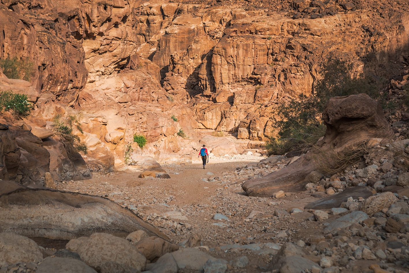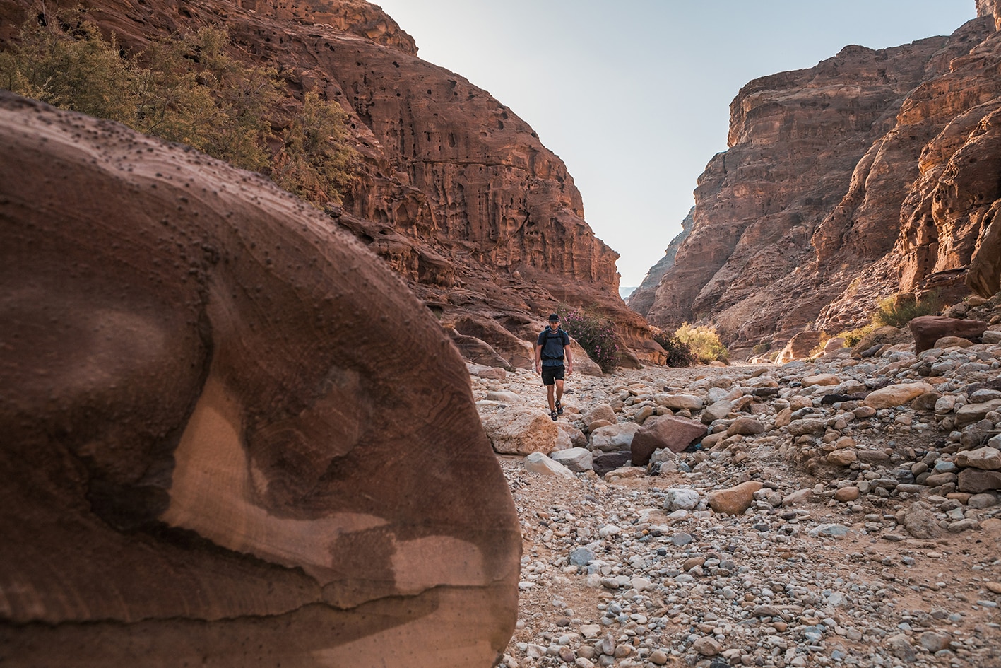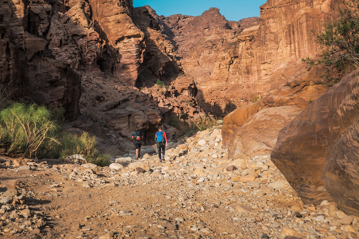


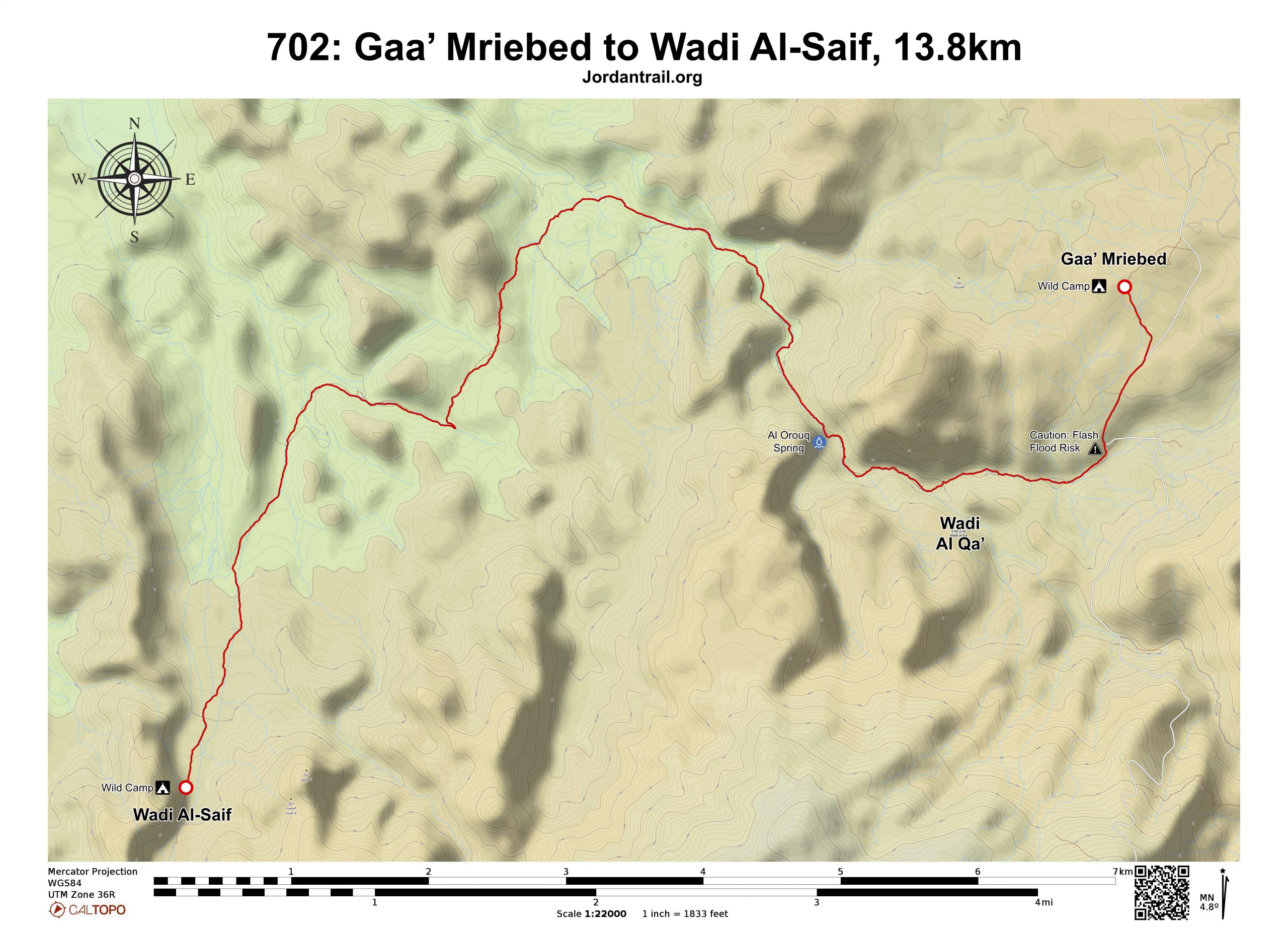

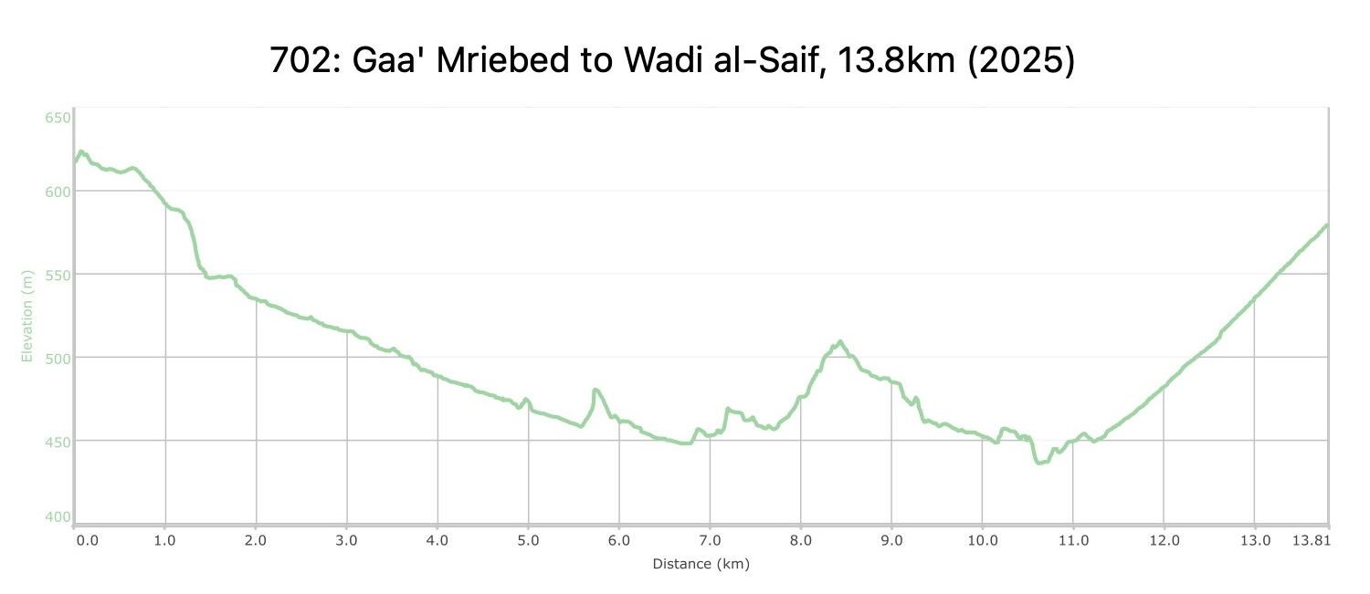
من منطقة قاع مريبض، اتجه جنوب غرباً نزولاً على الطريق المعبّد، ثم ادخل وادي أبو عروق بالانعطاف يميناً قبل جسر صغير حيث يعبر الطريق المعبّد الوادي. استمر بالنزول داخل الوادي، مروراً بصخور حجرية ملونة جميلة، ومشيًا على أرضية الوادي الصخرية ومن خلال نباتات الدفلى. عند حوالي 3 كيلومترات، يلتقي وادي أكبر من جهة اليسار، فتابع السير مستقيمًا في الوادي الرئيسي. مرّ عبر صخور كبيرة من الحجر الرملي، حتى تصل إلى نبع عين العروق الذي يغذيه الماء الجوفي ويتوفر على مدار السنة. إذا كان الماء قليلًا، احفر في الرمال الرطبة لتجد الماء. استمر في السير على طول الوادي مع اتساعه تدريجيًا.
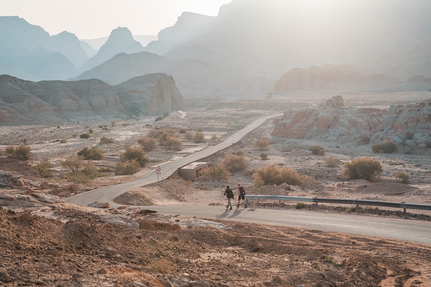
بعد الصهريج الخرساني المربع على يمينك، انعطف يساراً متجهاً غرباً ثم جنوباً، متعرجاً عبر متاهة من المناطق الصخرية والأودية الصغيرة حتى تصل إلى مسار حمير يتجه جنوباً. استمر على هذا المسار الأفضل حتى تصل إلى وادي يدخل من الشرق بالقرب من شجرة ظل كبيرة وجدار مدرج عند النقطة 9.8 كيلومتر.
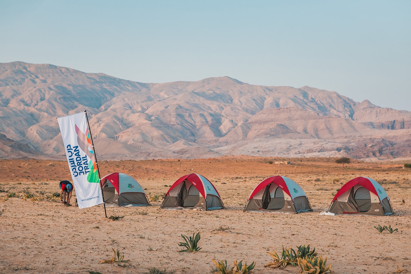
اتجه غربًا نحو مسار يؤدي إلى وادي الصيف الأوسع بكثير، حيث يقودك ممر المشي داخل الوادي في اتجاه الجنوب، متجهًا عكس مجرى الوادي (نحو المنبع). استمر في السير جنوبًا على طريق سيارات الدفع الرباعي داخل وادي الصيف حتى تصل إلى صخرة كبيرة أمام جرف عمودي ضخم من الحجر الرملي الأبيض والأحمر، حيث يشكل هذا الموقع البري لمخيم نهاية المرحلة. على قمة الصخرة توجد نقوش قديمة تعود للعصر النبطي تصور حيوانات منها الجمال والغزلان والأغنام.