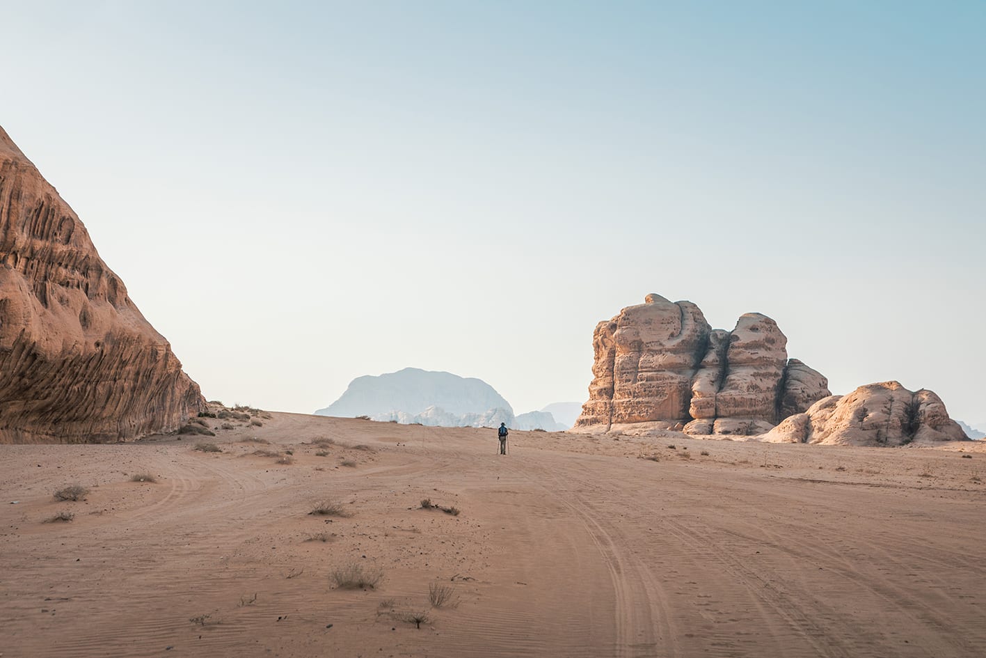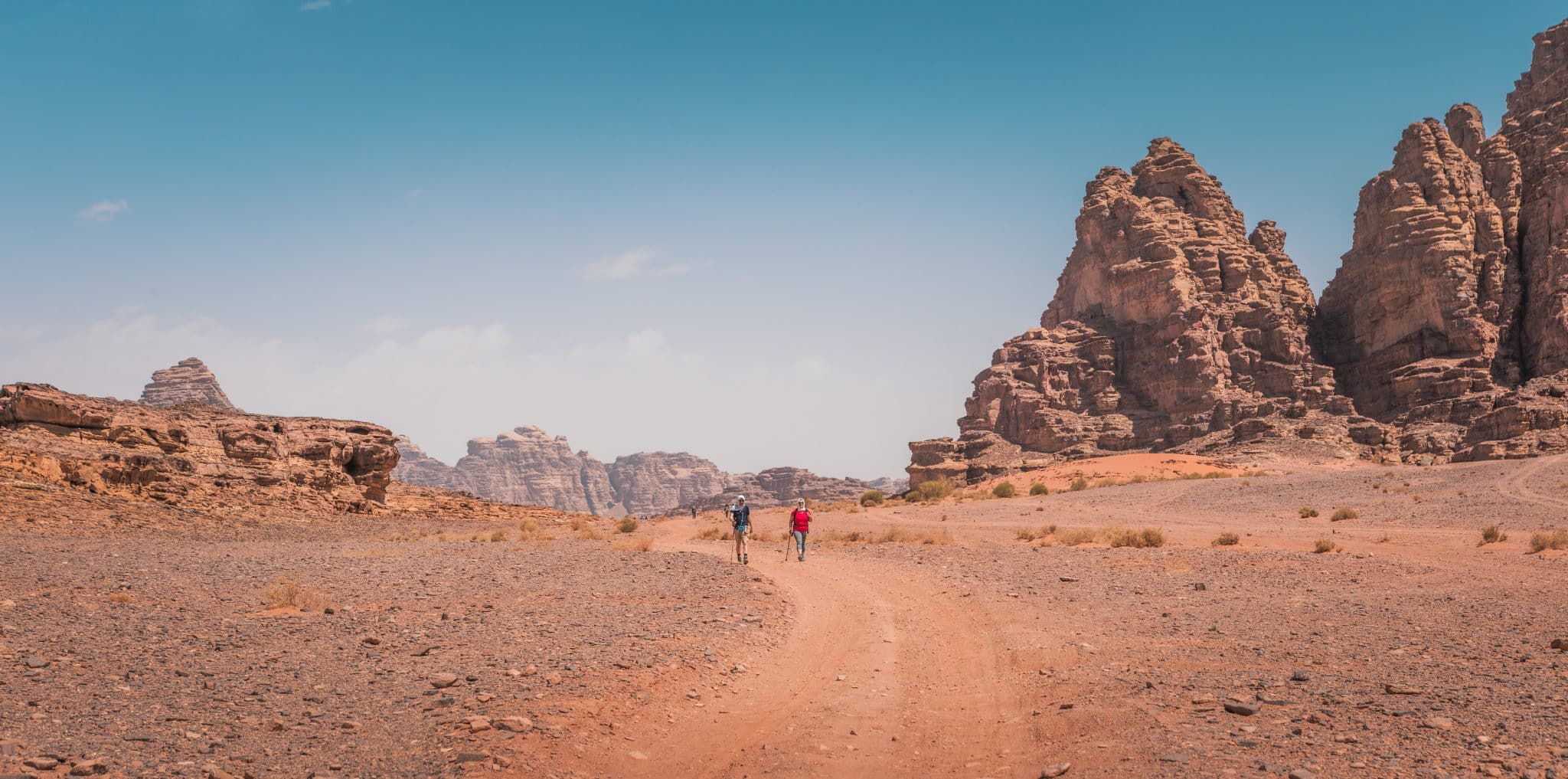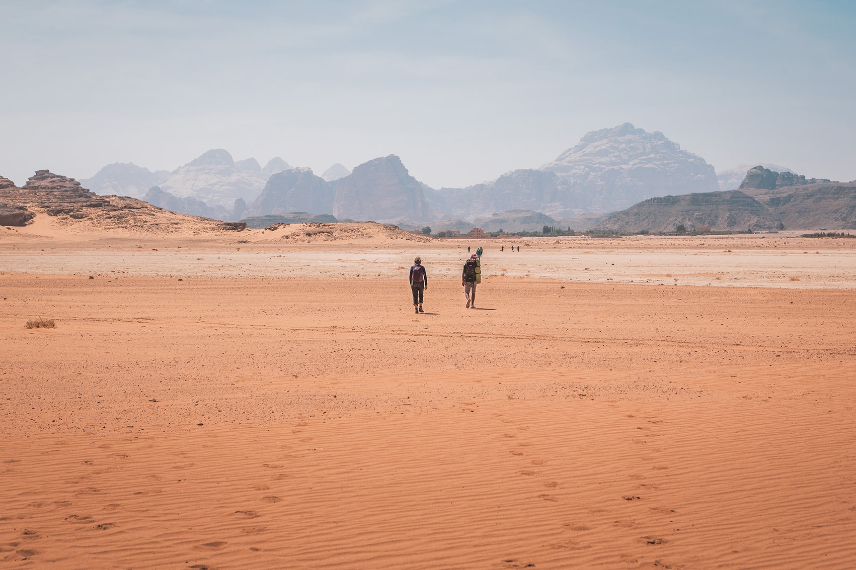


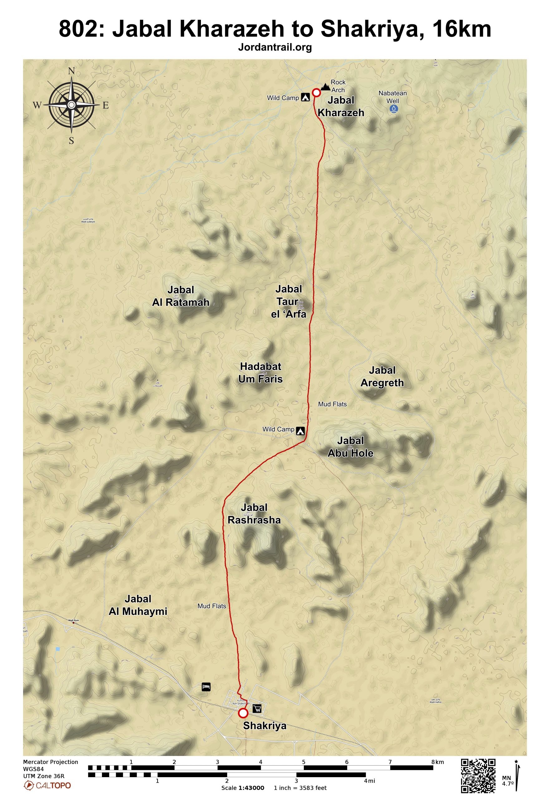

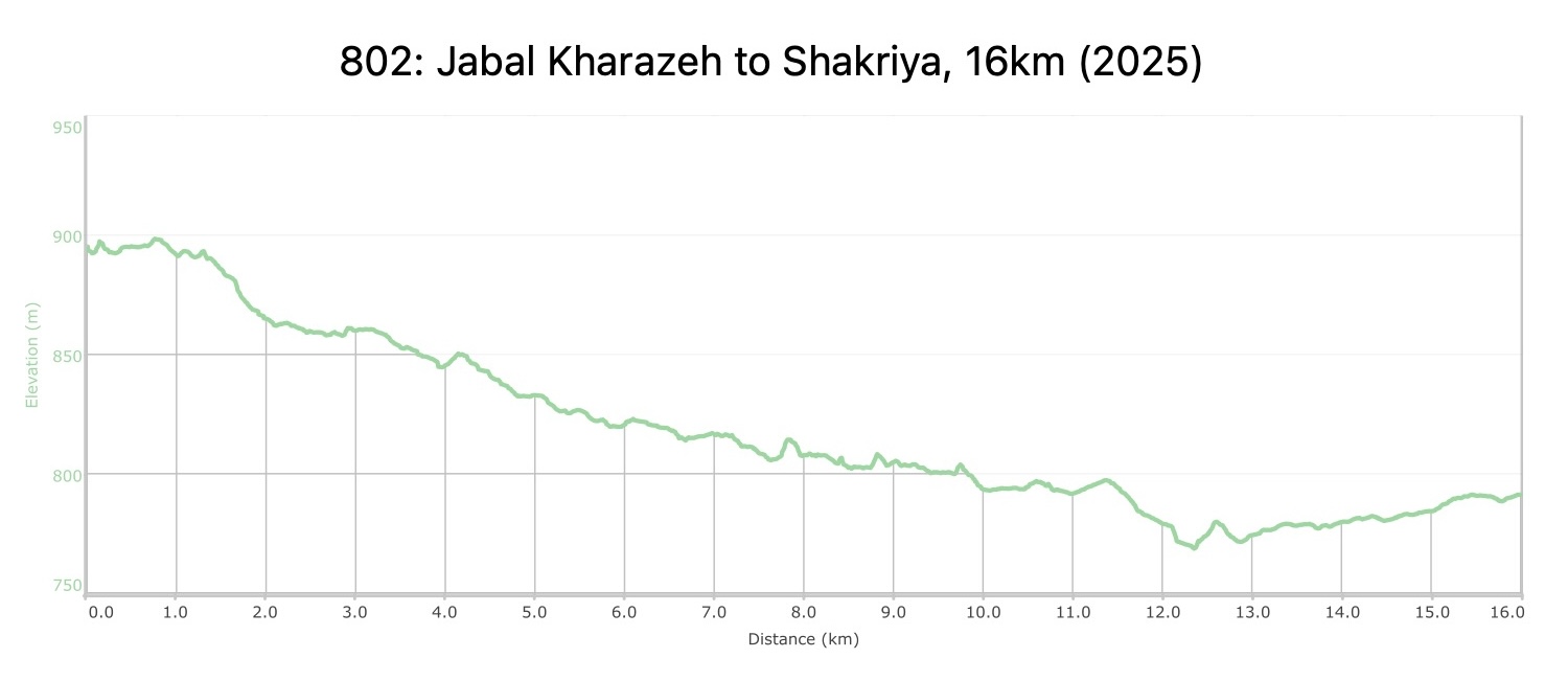

بعد حوالي 7 كم، تمر بجانب بعض السبخات الطينية الجافة (الـقاع)، ثم اتجه جنوب غرب لمسافة تقارب 3 كم، وبعدها عد لتتجه جنوبًا مرة أخرى لتسلك الطريق بين جبلي أبو رشراشة، مرورًا بكومة حجارة كبيرة تُشير إلى مقبرة صغيرة على يسارك. واصل السير مباشرة جنوبًا عبر المزيد من السبخات الطينية حتى تصل إلى قرية الشقرية التي ستظهر أمامك، لتدخلها من الجهة القريبة من المدرسة.
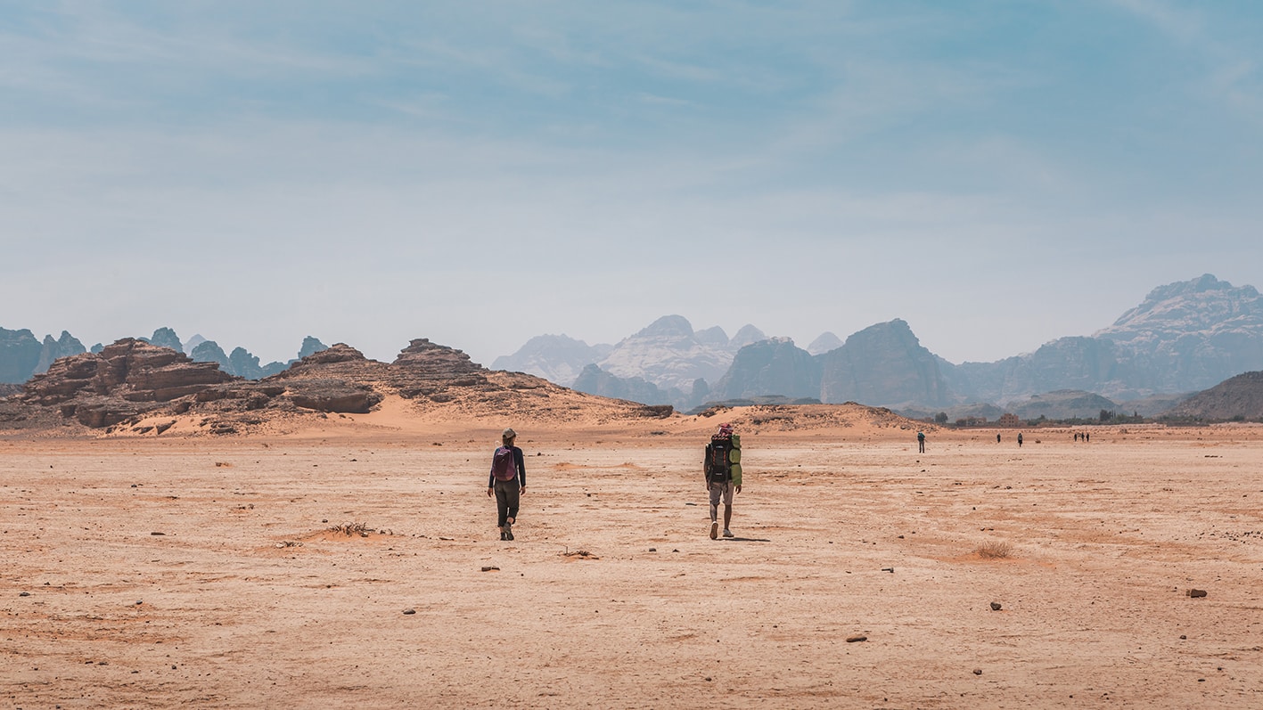
After about 7 km, pass near some dried mud flats (Gaa’), heading southwest for about 3 km and then south again to proceed between the two Jabal Abu Rashrasha mountains, passing a large stone cairn marking a small graveyard on your left. Continue straight south through more dried mud flats to reach the village of Shakriya, visible ahead, entering the town near the school.