تم تبني هذا المسار من قبل: البنك الإستثماري
المسار 202: خربة السوق إلى سد الملك طلال
-
مسارات المشي في المنطقة
-
اليوم الثاني: خريبة السوق إلى سد الملك طلال
-
المسافة: 15.1 كم
-
الوقت اللازم للمسير: 5-6 ساعات
-
التحدي البدني: صعب
-
تحديات المسار: متوسط
-
اجمالي الصعوبة: متوسط
-
تعليم المسار: نعم

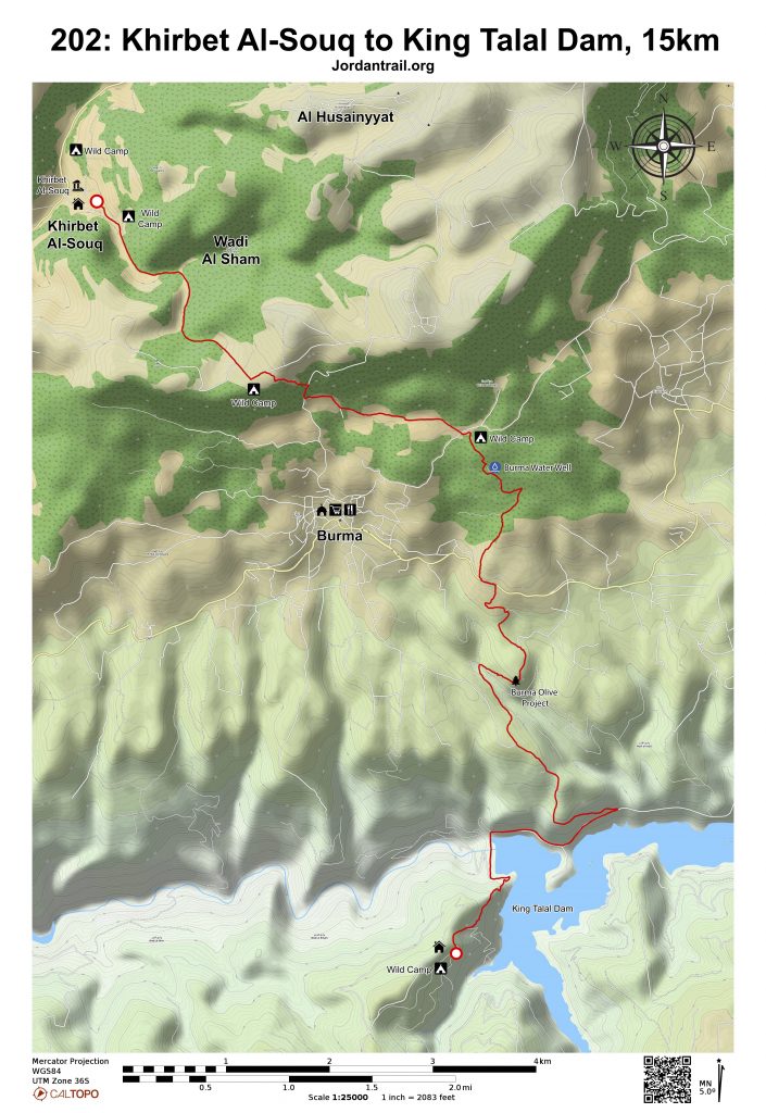
- خريطة المسار
- خريطة جوجل
- نظام تحديد المواقع
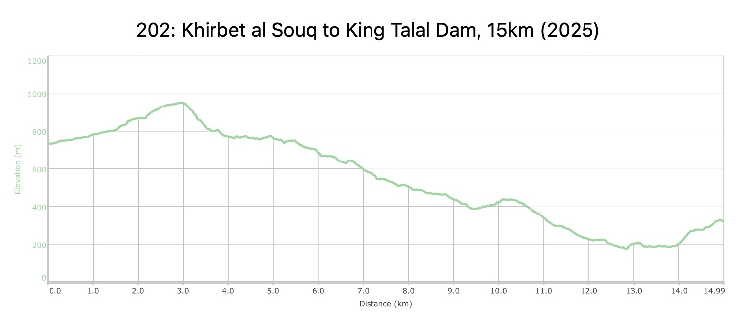
- مخطط الارتفاعات
لتحميل مسار GPS، اضغط هنا.

The Jordan Trail is a newly established trail, and is not marked. It is therefore our strong recommendation that you hire a local guide for your safety as many sections are remote with limited water sources and at times no connectivity.
By downloading these maps/GPX you take full responsibility for their use and accuracy; Jordan Trail Association does not warrant the accuracy or completeness of the information, materials or the reliability of any maps as they provided AS IS without warranty of any kind, either express or implied, including but not limited to, fitness for a particular purpose, or non-infringement ;You acknowledge that any reliance on any such maps, shall be at your sole risk and responsibility as Hiking, backpacking, and other outdoor activities all have potential hazards involving risk of injury or death. Outdoor activities have inherent risks and you should ensure you have the skill level and abilities suitable for the activities in Jordan to partake in them and to take all precaution measures. Check the data on Google Earth or other Apps or Programs before using them. The Jordan Trail Association shall not be held responsible for any incidents that may occur during your participation in any activity and/or by using any of the maps/GPX.

أنقر هنا

The Jordan Trail is a newly established trail, and is not marked. It is therefore our strong recommendation that you hire a local guide for your safety as many sections are remote with limited water sources and at times no connectivity.
By downloading these maps/GPX you take full responsibility for their use and accuracy; Jordan Trail Association does not warrant the accuracy or completeness of the information, materials or the reliability of any maps as they provided AS IS without warranty of any kind, either express or implied, including but not limited to, fitness for a particular purpose, or non-infringement ;You acknowledge that any reliance on any such maps, shall be at your sole risk and responsibility as Hiking, backpacking, and other outdoor activities all have potential hazards involving risk of injury or death. Outdoor activities have inherent risks and you should ensure you have the skill level and abilities suitable for the activities in Jordan to partake in them and to take all precaution measures. Check the data on Google Earth or other Apps or Programs before using them. The Jordan Trail Association shall not be held responsible for any incidents that may occur during your participation in any activity and/or by using any of the maps/GPX.

أرقام مهمة
الشرطة السياحية:
الخط الساخن: 117777
واتساب: +962770992690
*في حال التواصل مع شرطة السياحة في حالة طارئة، يُرجى تحديد أنك تسير على درب الأردن، وذكر جنسيتك، موقعك الحالي، واسم ورقم الخريطة.
مكتب جمعية درب الأردن: +962 6 461 0999
(ساعات العمل: من 9:00 صباحًا حتى 5:00 مساءً، من الأحد إلى الخميس)
معلومات عامة
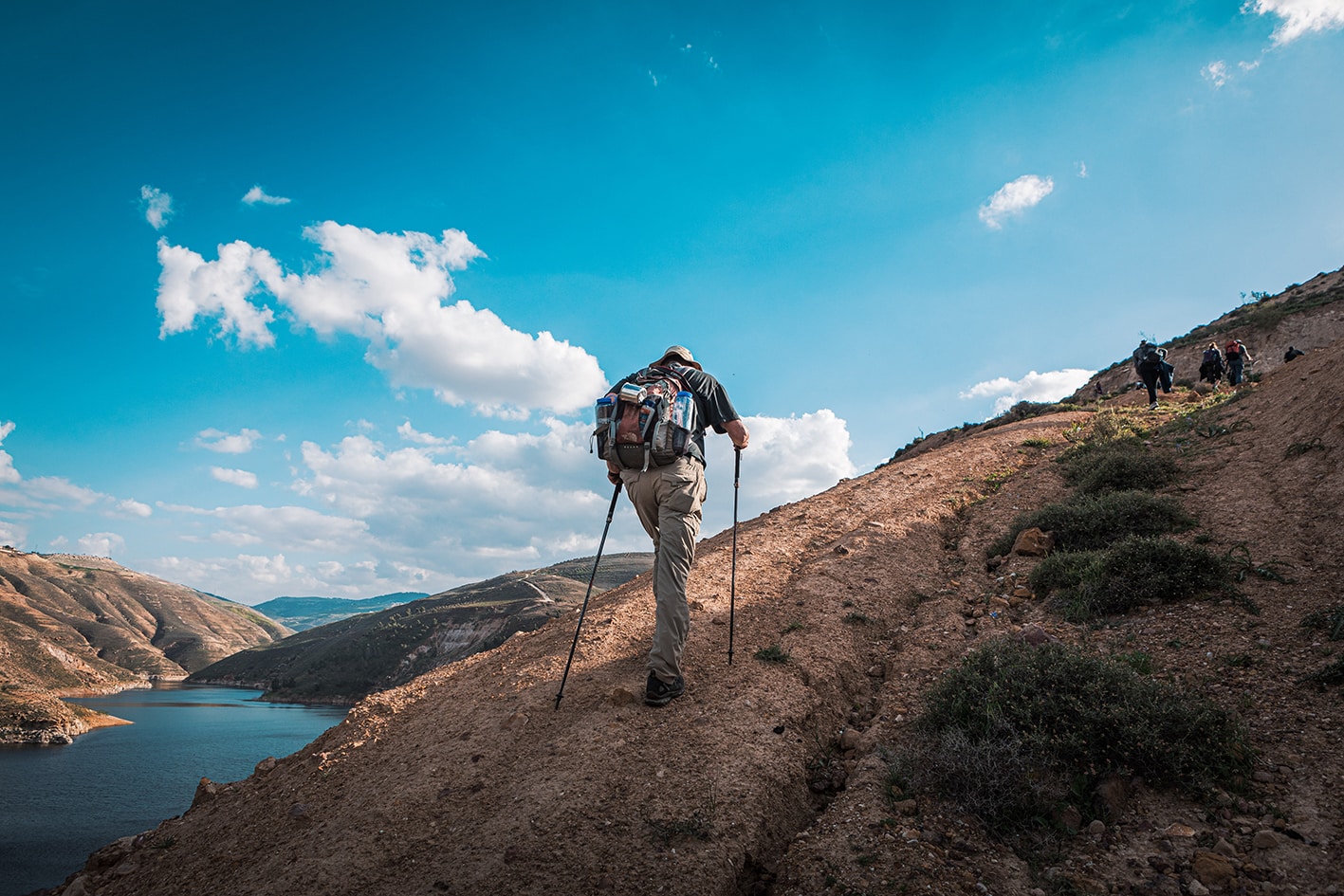
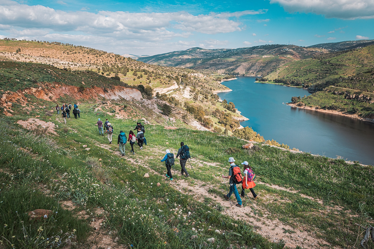
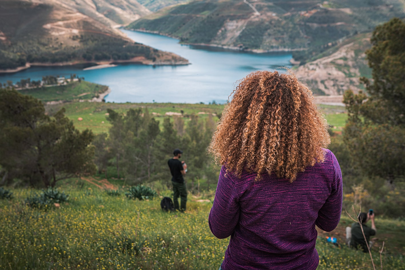
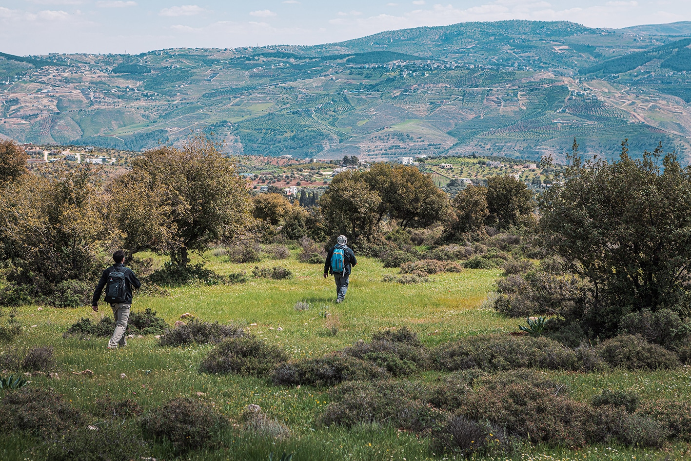
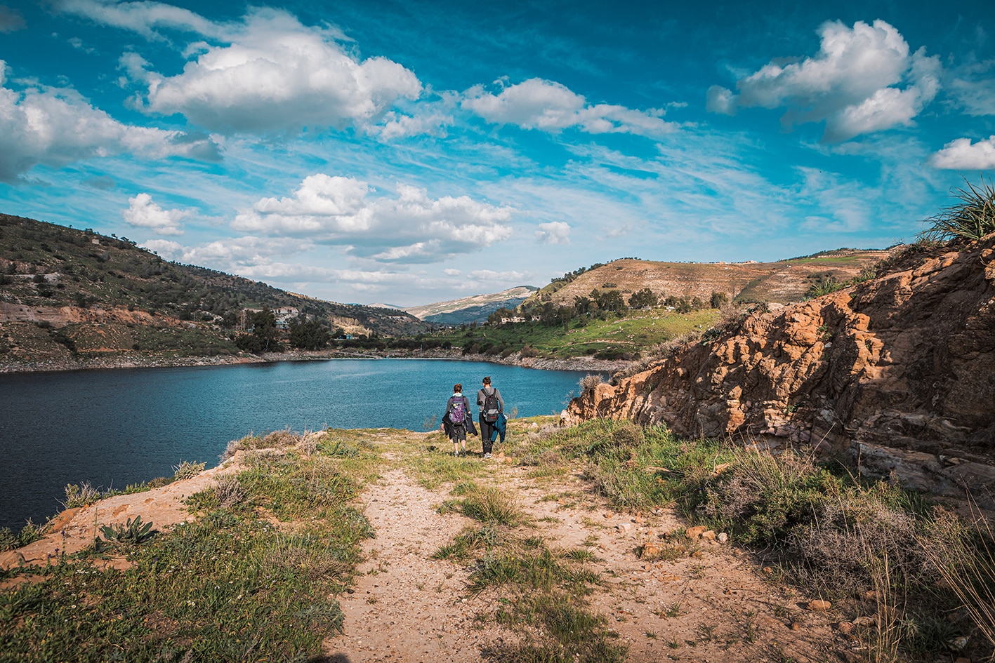
يتجه المسار عبر وادٍ منعزل مغطى بالأشجار وصولاً إلى قمة التل، حيث تطل مناظر خلابة على قرية برما الجبلية وسد الملك طلال وما وراءه. ثم تنحدر الممرات إلى شرق برما (توجد محالّ خارج المسار)، مرورًا بالغابات القديمة والمناطق الزراعية وصولاً إلى خزان وسد الملك طلال.
وسائل النقل
- سيارات الأجرة الخاصة
جهات الاتصال المحلية / أماكن الإقامة
- بيت الضيافة: مجير الهويدي، 962795490396+, ختم سجل الدرب سد الملك طلال
أهم المعالم التي يمكن مشاهدتها
- وادي الشام (وادي جميل وعذب مليء بالأشجار الكثيفة).
- قرية برما
- سد الملك طلال
الطعام والماء
الطعام:
- محلات تجارية في برما (خارج المسار)
الماء:
- عين حامد – ينبوع عام / محطة مياه على الطريق المؤدي إلى برما (خارج المسار).
- قرية برما – تتوفر دورات مياه يمكن استخدامها في المساجد (خارج المسار).
- يُمنع استخدام مياه سد الملك طلال للشرب.
النصائح والسلامة العامة
النصائح:
- احرص على توفير بعض الطاقة للصعود في نهاية الطريق من سد الملك طلال.
- المرحلة قصيرة، لذا يمكنك التفكير في دمجها مع المرحلة التالية وصولاً إلى رميمين إذا كنت مستعدًا للمسافة.
- أفاد بعض المتنزهين بعدم شعورهم بالراحة بسبب الانتباه الذي تلقوه في قرية برما.
السلامة العامة:
- أرضية غير مستقرة – قد تكون الأرض غير ثابتة أثناء النزول من حراوة خارج المسار، وكذلك في مقطع قصير قبل السد.
- الوصول – يُسمح رسميًا لمتنزهّي درب الأردن بعبور السد.
- برما – لا تُعرف هذه القرية بسمعة طيبة، وقد تعرض بعض المتنزهين لمضايقات من الأطفال أو الشبان في البلدة، الذين لا يبدو أنهم معتادون على مرور المتنزهين عبرها.


