اطلالات على وادي الأردن
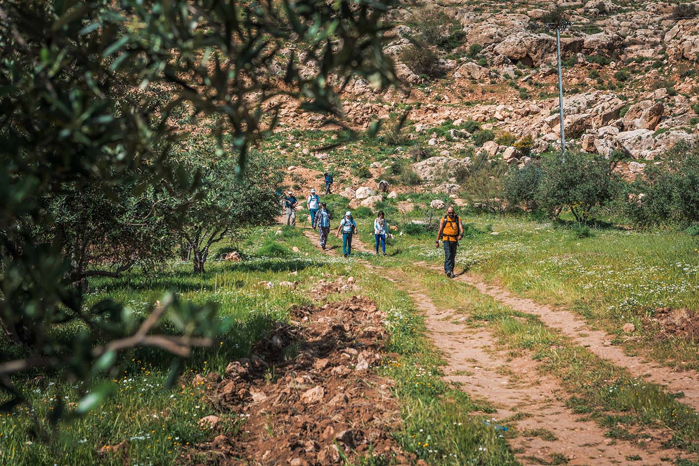
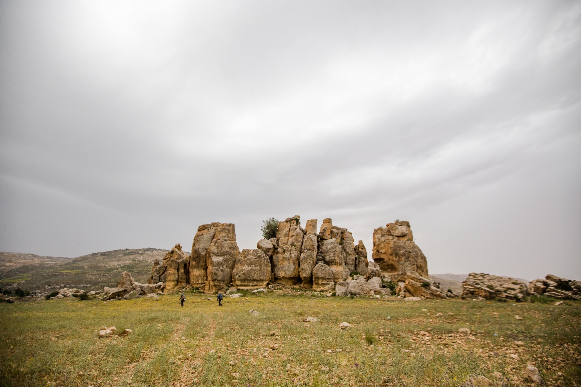
غابة حسبان

لتحميل مسار GPS، اضغط هنا.


الشرطة السياحية:
الخط الساخن: 117777
واتساب: +962770992690
*في حال التواصل مع شرطة السياحة في حالة طارئة، يُرجى تحديد أنك تسير على درب الأردن، وذكر جنسيتك، موقعك الحالي، واسم ورقم الخريطة.
مكتب جمعية درب الأردن: +962 6 461 0999
(ساعات العمل: من 9:00 صباحًا حتى 5:00 مساءً، من الأحد إلى الخميس)
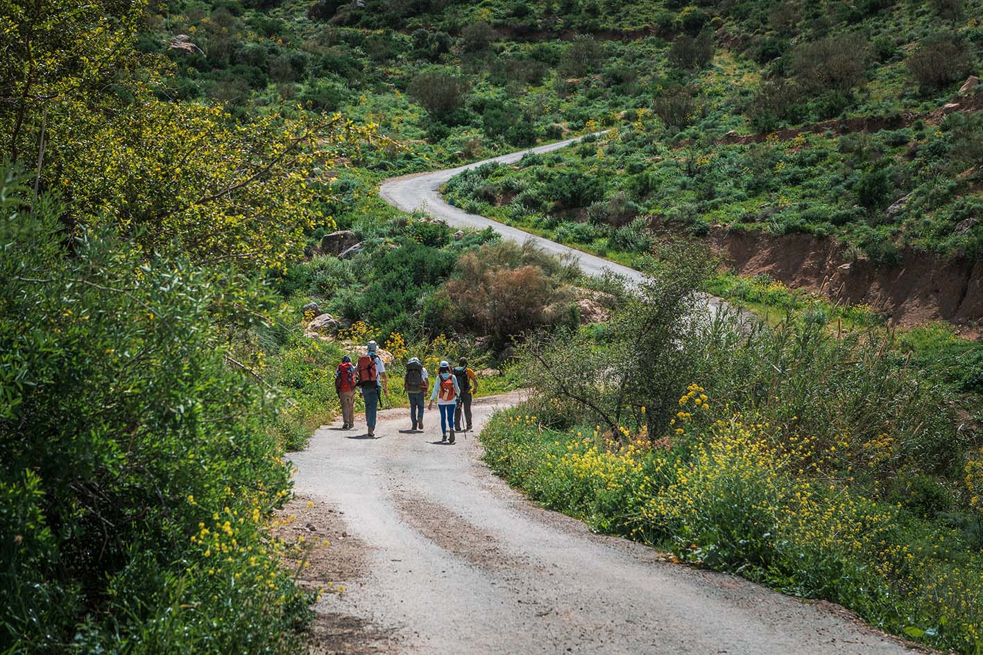
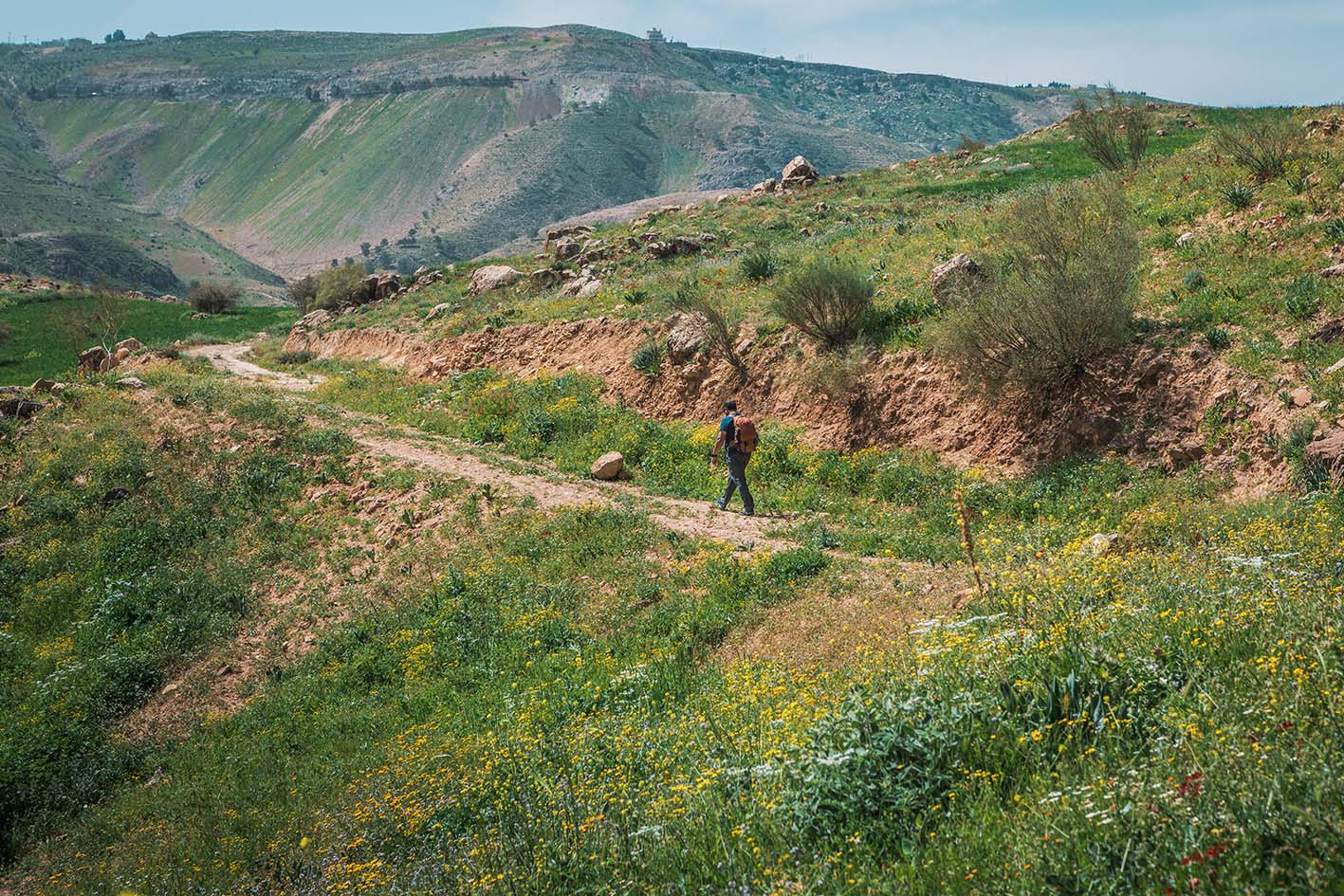
اتجه جنوبًا عبر التلال التي تكشف عن إطلالات رائعة على وادي الأردن نحو فلسطين، ثم اعبر الطريق الرئيسي مرورًا بالمقابر لتصل إلى منطقة حسبان.
اطلالات على وادي الأردن
غابة حسبان
النصائح:
-النصف الثاني من المسار قد يكون أكثر صعوبة بسبب الصعود المتواصل.
-يجب توخي الحذر عند عبور الطريق الرئيسي (طريق البحر الميت).
السلامة العامة:
أرضية غير ثابتة – توجد فقط بضع مقاطع قصيرة جدًا عند الصعود أو النزول على الممر، حيث تكون الأرضية غير مستقرة قليلًا.
الحيوانات – قد يصادف المتنزهون كلاب الرعاة أثناء المسير.
الجفاف/الإرهاق الحراري – احرص على اتخاذ الاحتياطات اللازمة، خاصة في القسم الأدنى والأكثر حرارة بعد عراق الأمير.
غالب عبادي (سائق سيارة أجرة من عراق الأمير) - 0772193218


أعضاء في


