0
0 items
No products in the cart.

القسم 504: المعطن إلى ضانا

  • مسارات المشي في المنطقة

  • اليوم الرابع: المعطن إلى ضانا

  • المسافة: 15.5 كم

  • الوقت اللازم للمسير: 5 ساعات

  • التحدي البدني: متوسط

  • صعوبة المسار: صعب

  • اجمالي الصعوبة: متوسط

  • تعليم المسار: نعم

لتحميل مسار GPS، اضغط هنا.  

The Jordan Trail is a newly established trail, and is not marked. It is therefore our strong recommendation that you hire a local guide for your safety as many sections are remote with limited water sources and at times no connectivity.
By downloading these maps/GPX you take full responsibility for their use and accuracy; Jordan Trail Association does not warrant the accuracy or completeness of the information, materials or the reliability of any maps as they provided AS IS without warranty of any kind, either express or implied, including but not limited to, fitness for a particular purpose, or non-infringement ;You acknowledge that any reliance on any such maps, shall be at your sole risk and responsibility as Hiking, backpacking, and other outdoor activities all have potential hazards involving risk of injury or death. Outdoor activities have inherent risks and you should ensure you have the skill level and abilities suitable for the activities in Jordan to partake in them and to take all precaution measures.  Check the data on Google Earth or other Apps or Programs before using them.  The Jordan Trail Association shall not be held responsible for any incidents that may occur during your participation in any activity and/or by using any of the maps/GPX.
AGREE
close-link
اضغط هنا لتحميل الخريطة
أرقام مهمة

الشرطة السياحية:

الخط الساخن: 117777
واتساب: +962770992690

*في حال التواصل مع شرطة السياحة في حالة طارئة، يُرجى تحديد أنك تسير على درب الأردن، وذكر جنسيتك، موقعك الحالي، واسم ورقم الخريطة.

مكتب جمعية درب الأردن: +962 6 461 0999

(ساعات العمل: من 9:00 صباحًا حتى 5:00 مساءً، من الأحد إلى الخميس)

معلومات عامة

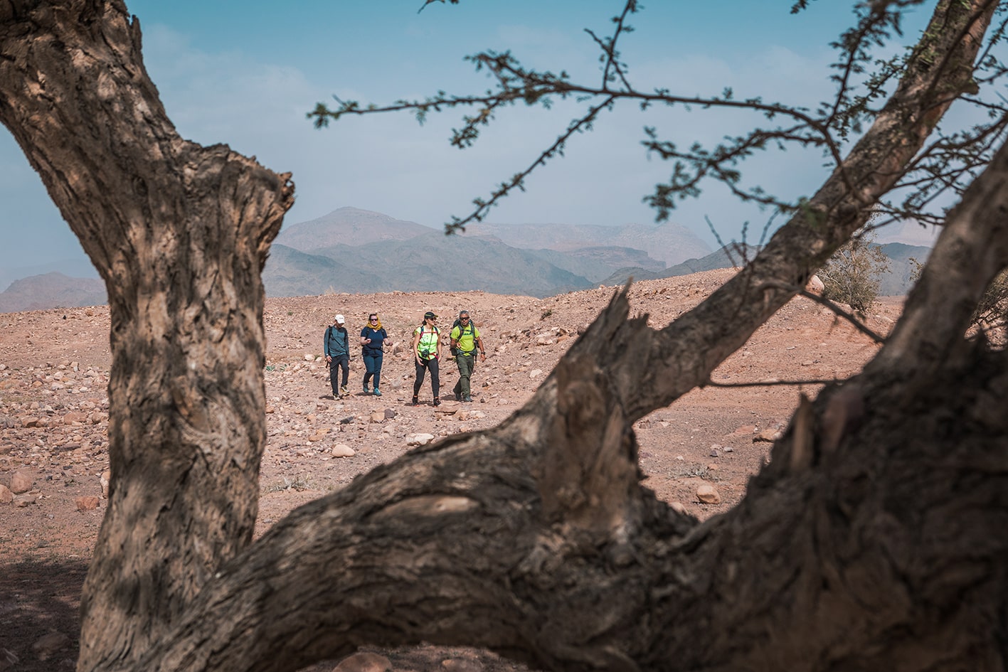
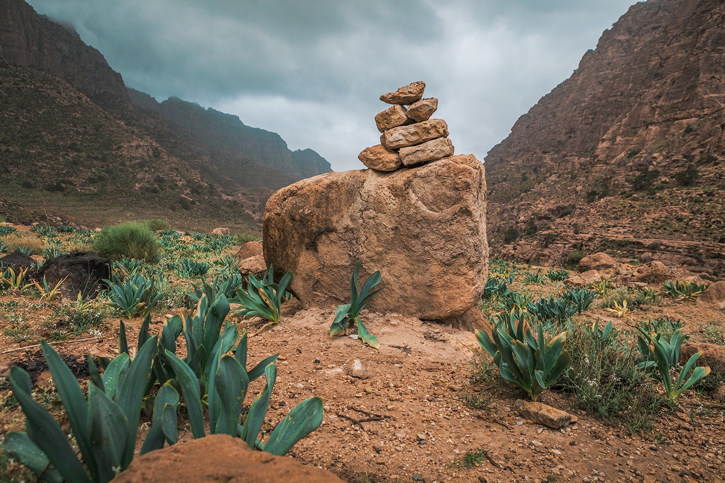
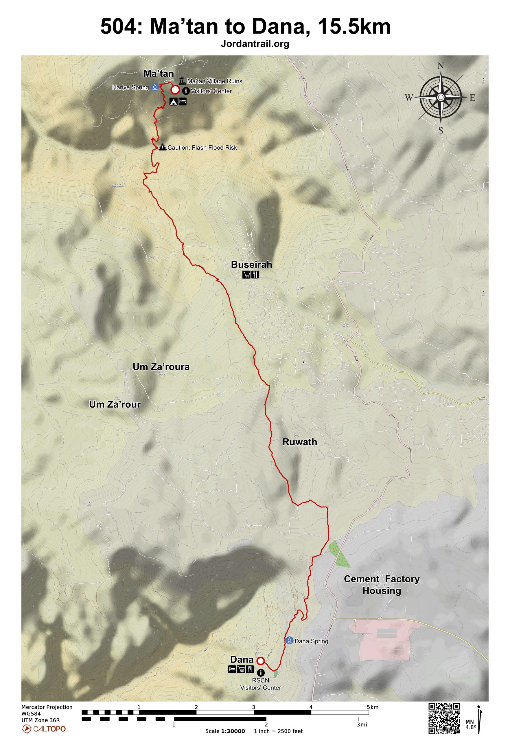
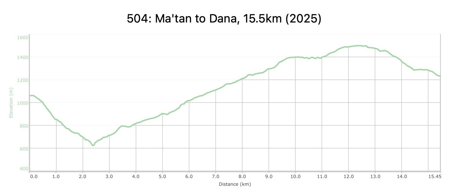
من قرية معطن، اتجه غربًا على الطريق المعبدة، ثم انعطف يسارًا لتجد ممرًا يمر بين صخور كبيرة وينزل عبر مسار قديم للحمير على منحدر التل شديد الانحدار، محاط ببساتين مدرّجة من الزيتون وأشجار الفاكهة. مرّ بعين حيّرة، واحرص على تتبع المسار القديم بعناية، فهو ممهد جيدًا وأقل انزلاقًا وخطورة من المسارات الأخرى القريبة. تابع النزول إلى الأسفل، عابرًا طريقًا ترابيًا، ثم ابحث عن مسار الحمير مرة أخرى في أسفل التل، واتبع هذا المسار للنزول حتى قاع وادي معطن/الحميدة، حيث تتشكل جدران من الحجر الرملي على هيئة كانيون ضيق. انعطف يمينًا ثم اصعد بقوة إلى أعلى التل عبر مجموعة قديمة من الالتفافات الممهدة، مرورًا بحقول مزروعة حتى تصل إلى طريق مخصص للمركبات ذات الدفع الرباعي، ثم انعطف يسارًا ثم يمينًا للوصول إلى ممر مشاة يقودك إلى طريق معبد.

تابع السير صعودًا على الطريق المعبدة لمسافة تقارب 1.5 كيلومتر، ثم انعطف يمينًا لعبور لوح حجري متآكل يمتد فوق طريق معبد آخر، لتصل إلى الجانب الجنوبي الغربي من وادي بصيرة اتبع ممرًا ضيقًا للمشاة يصعد على جانب الوادي، مواصلًا الارتفاع تدريجيًا حتى تصل إلى مستوى مشابه لبلدة بصيرة التي يمكنك رؤيتها على الجانب الآخر من الوادي. واصل السير على هذا المسار لمسافة 3.3 كيلومتر (مع إمكانية التوقف للراحة في ظل بستان زيتون في منتصف الطريق)، حتى تصل إلى أعلى الوادي، بالقرب من النقطة التي يلتقي فيها المسار مع الطريق المعبد عند علامة 8.4 كيلومتر. إذا كنت بحاجة إلى التزود بالمؤن من بصيرة، يمكنك العودة للخلف من هذه النقطة.

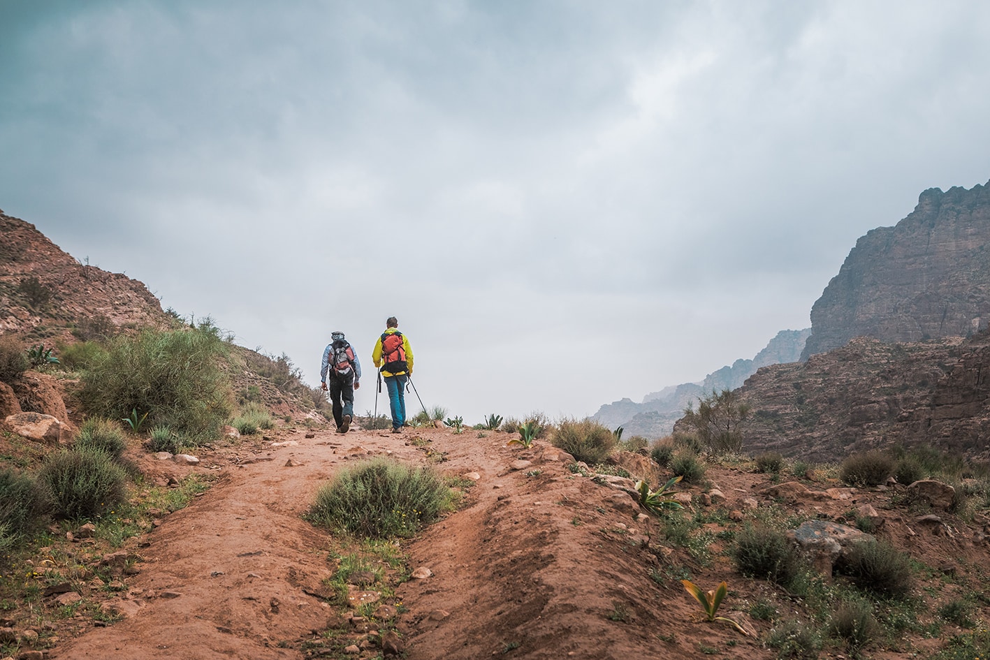
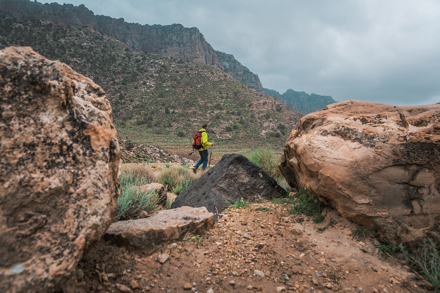
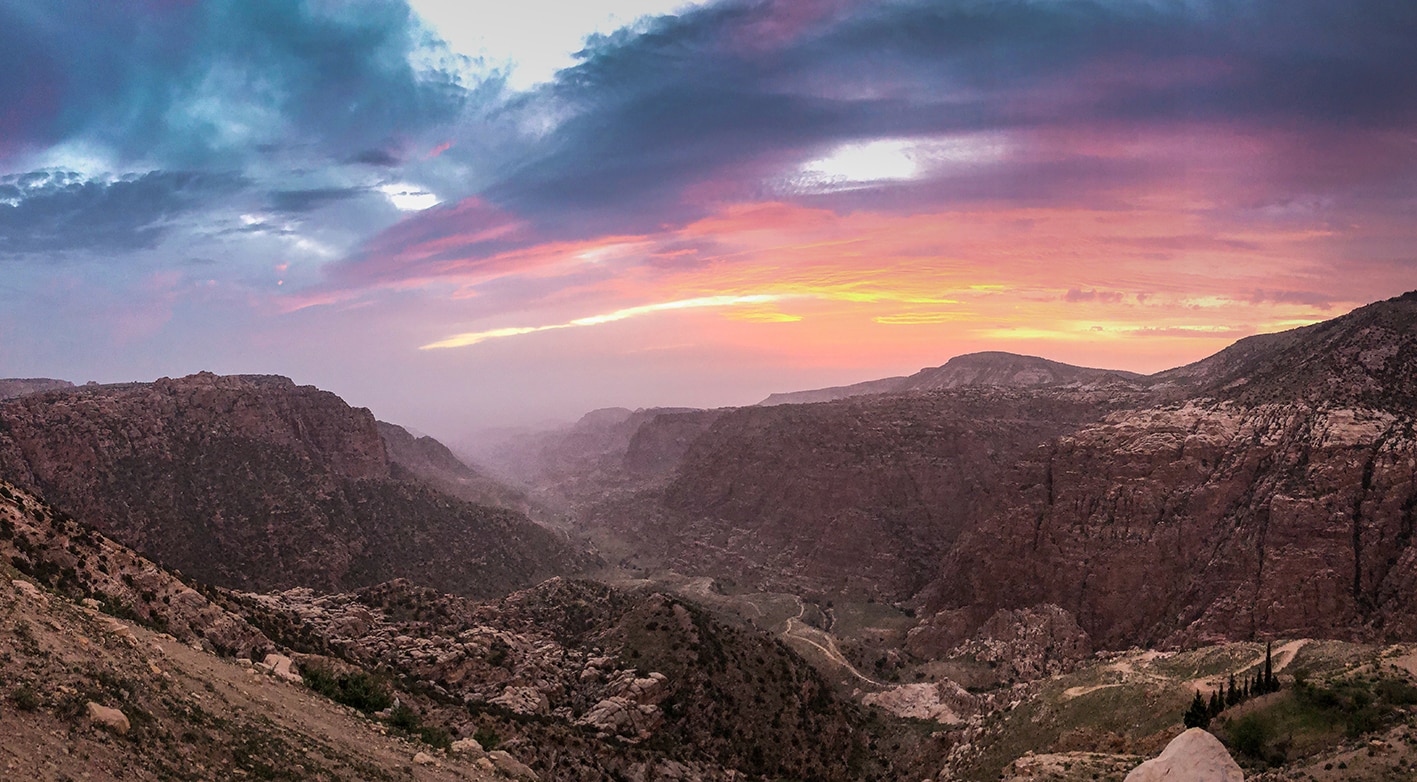
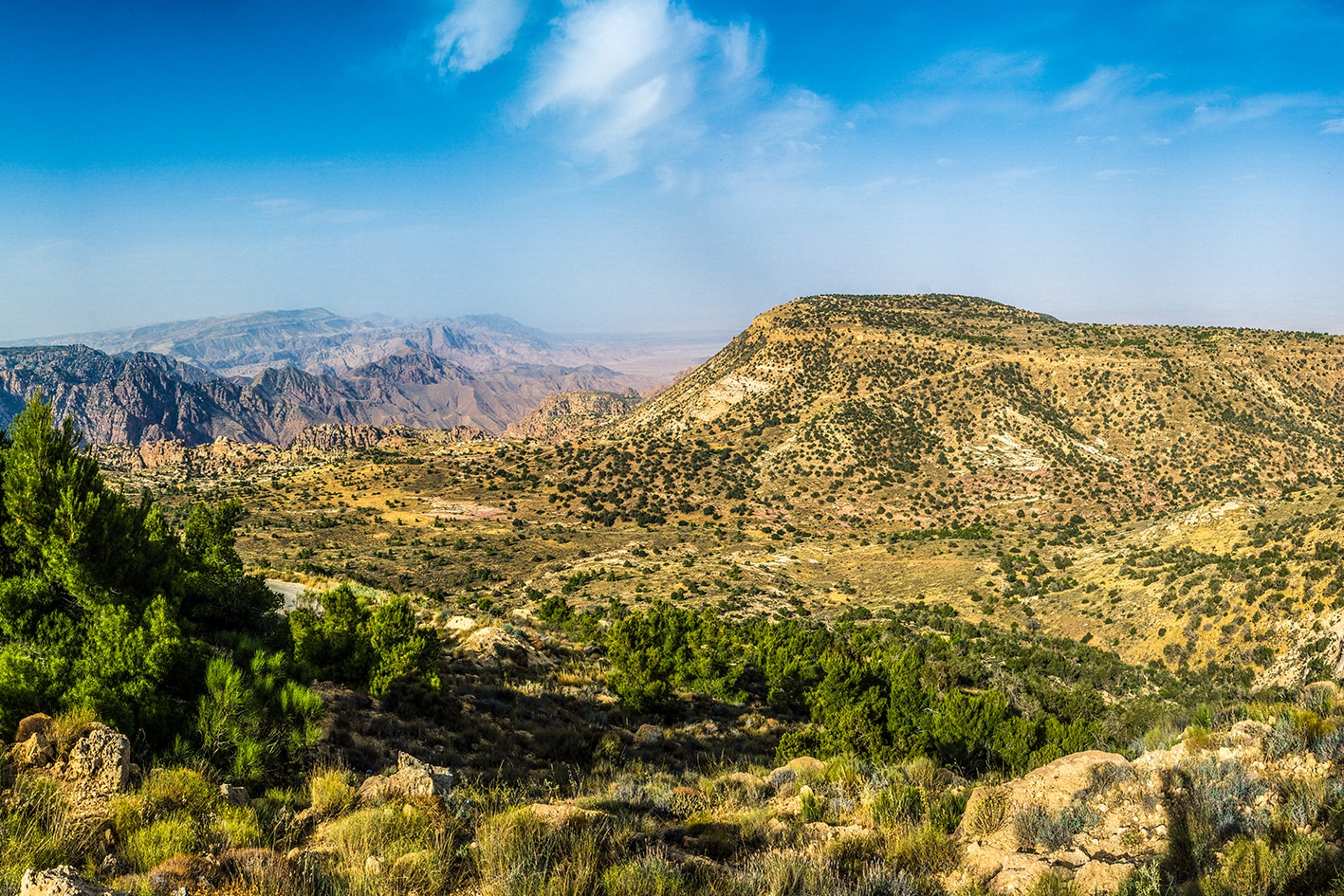
تابع السير فوق التلة عند آثار خربة أم زعرورة، وعبُر الطريق المعبد لتنضم إلى مسار سيارات دفع رباعي على الجانب الغربي من أحد الأودية التي تنتشر فيها غابات الصنوبر بالأسفل. عند أعلى الوادي، اسلك مسار دفع رباعي آخر ليعبر طريقًا ترابيًا واسعًا جدًا يؤدي إلى محجر، وواصل المشي باتجاه الجنوب عبر غابة صغيرة، لتصل إلى منطقة زراعية مستوية تُطل على منظر خلاب لوادي ضانا، الذي ينحدر عموديًا لمسافة 1 كيلومتر إلى وادي عربة. خذ لحظة للاستمتاع بروعة المشهد، وحاول أن تتأمل المسار الذي ستسلكه في اليوم التالي.

اتجه جنوبًا نحو أبراج الاتصالات الظاهرة على قمة التل، وانزل تدريجيًا على شكل درجات باتجاه الغرب حتى تصل إلى ممر مشاة يمر بين الحقول المزروعة باتجاه قرية ضانا الظاهرة في الأسفل. ابحث عن مسار أوسع يلتف شمالًا لينزل عبر غابة صغيرة من أشجار البلوط، مرورًا بجرفٍ صخري صغير، ليتصل في النهاية بالطريق المعبد الصغير الذي يمر بجانب عين ضانا، ثم ينحدر حتى يصل إلى مدخل قرية ضانا، حيث تتوفر العديد من بيوت الضيافة والفنادق.

ملاحظات مهمه:

يرجى التواصل مع إدارة المحمية قبل الدخول، وذلك لدفع رسوم الدخول.

رقم محمية ضانا للمحيط الحيوي: 0799111434

وسائل النقل
  • تتوفر حافلات إلى الطفيلة (عبر العيص) من عمّان والعقبة. ومن الطفيلة، يمكنك استقلال سيارة أجرة إلى نقاط البداية أو النهاية.
  • من عمّان، تنطلق حافلات عامة إلى وادي موسى، الطفيلة، والقادسية. ومن هذه المراكز الرئيسية للنقل، ستحتاج إلى سيارة أجرة للوصول إلى القرى الصغيرة مثل ضانا وفينان. العديد من أماكن التخييم البرّي الموصى بها يمكن الوصول إليها عبر مركبات الدفع الرباعي، إذا كنت تفكر في استئجار مركبة دعم.
جهات الاتصال المحلية / أماكن الإقامة
  • مخيم عين اللحظة, سامح سلمان, 962772255091+, احمد سامح سلمان, 962799786864+, ختم سجل الدرب ضانا
  • فندق قلعة ضانا, حازم النوافلة, 962779672607+, ختم سجل الدرب ضانا
  • بيت ضيافة ضانا, 96232270537+, سليمان خوادة, 962772387787+
أهم المعالم التي يمكن مشاهدتها
  • بصيرة
  • قرية ضانا
الطعام والماء

الطعام:

  • ميني ماركت ومخبز في بصيرة (خارج المسار)
  • طعام وماء في ضانا (عبر المطاعم والفنادق – لا يوجد متجر)

الماء:

  • المعطن
  • بيوت سكنية على طول الطريق بعد مغادرة وادي بصيرة
  • قرية ضانا
النصائح والسلامة العامة

النصائح:

  • حاول اتباع طريق الحمير القديم نزولاً من المعطن إلى الوادي بالأسفل. هذا المسار أكثر ثباتاً وأقل انزلاقاً. قرية بُصيرة تقع خارج المسار (يفصلها وادٍ عميق). من الممكن الرجوع سيراً من التقاطع إلى القرية للحصول على مؤن.
  • من الجيد ارتداء أحذية مخصصة للمشي، إذ أن بعض المقاطع حول وادي المعطن ووادي بُصيرة قد تكون زلقة.
  • هناك خطر حدوث السيول المفاجئة عند عبور وادي المعطن وقاع وادي بُصيرة.

السلامة العامة:

  • حواف مكشوفة – توجد مقاطع متوسطة الخطورة على مسار وادي بُصيرة، لكنها ليست خطيرة جداً.
  • مخاطر السيول – وادي المعطن، وادي بُصيرة.
  • الأرض غير المستقرة – النزول إلى وادي المعطن شديد الانحدار في بعض الأحيان. كن حذراً! المسار على جانب وادي بُصيرة زلق قليلاً في بعض المقاطع.
  • الجفاف / الإرهاق من الحرارة – الظل قليل، لكن يمكن العثور على بعض الأشجار بين الحين والآخر, في المناطق المرتفعة، ستكون درجات الحرارة أكثر برودة.

The Jordan Trail is a newly established trail, and is not marked. It is therefore our strong recommendation that you hire a local guide for your safety as many sections are remote with limited water sources and at times no connectivity.
By downloading these maps/GPX you take full responsibility for their use and accuracy; Jordan Trail Association does not warrant the accuracy or completeness of the information, materials or the reliability of any maps as they provided AS IS without warranty of any kind, either express or implied, including but not limited to, fitness for a particular purpose, or non-infringement ;You acknowledge that any reliance on any such maps, shall be at your sole risk and responsibility as Hiking, backpacking, and other outdoor activities all have potential hazards involving risk of injury or death. Outdoor activities have inherent risks and you should ensure you have the skill level and abilities suitable for the activities in Jordan to partake in them and to take all precaution measures.  Check the data on Google Earth or other Apps or Programs before using them.  The Jordan Trail Association shall not be held responsible for any incidents that may occur during your participation in any activity and/or by using any of the maps/GPX.
AGREE
close-link