0
0 items
No products in the cart.

القسم 601: ضانا إلى وادي ملقا

  • مسارات المشي في المنطقة

  • اليوم الأول: ضانا إلى وادي ملقا

  • المسافة: 22 كم

  • الوقت اللازم للمسير: 8-6 ساعات

  • التحدي البدني: صعب

  • صعوبة المسار: صعب

  • اجمالي الصعوبة: صعب

  • تعليم المسار: لا

لتحميل مسار GPS، اضغط هنا.  

The Jordan Trail is a newly established trail, and is not marked. It is therefore our strong recommendation that you hire a local guide for your safety as many sections are remote with limited water sources and at times no connectivity.
By downloading these maps/GPX you take full responsibility for their use and accuracy; Jordan Trail Association does not warrant the accuracy or completeness of the information, materials or the reliability of any maps as they provided AS IS without warranty of any kind, either express or implied, including but not limited to, fitness for a particular purpose, or non-infringement ;You acknowledge that any reliance on any such maps, shall be at your sole risk and responsibility as Hiking, backpacking, and other outdoor activities all have potential hazards involving risk of injury or death. Outdoor activities have inherent risks and you should ensure you have the skill level and abilities suitable for the activities in Jordan to partake in them and to take all precaution measures.  Check the data on Google Earth or other Apps or Programs before using them.  The Jordan Trail Association shall not be held responsible for any incidents that may occur during your participation in any activity and/or by using any of the maps/GPX.
AGREE
close-link
اضغط هنا لتحميل الخريطة
أرقام مهمة

الشرطة السياحية:

الخط الساخن: 117777
واتساب: +962770992690

*في حال التواصل مع شرطة السياحة في حالة طارئة، يُرجى تحديد أنك تسير على درب الأردن، وذكر جنسيتك، موقعك الحالي، واسم ورقم الخريطة.

مكتب جمعية درب الأردن: +962 6 461 0999

(ساعات العمل: من 9:00 صباحًا حتى 5:00 مساءً، من الأحد إلى الخميس)

معلومات عامة

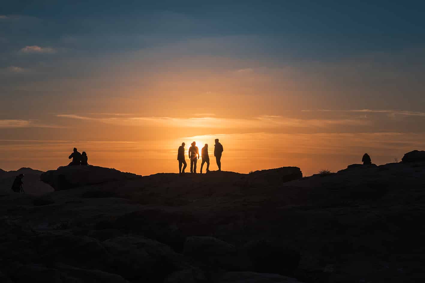
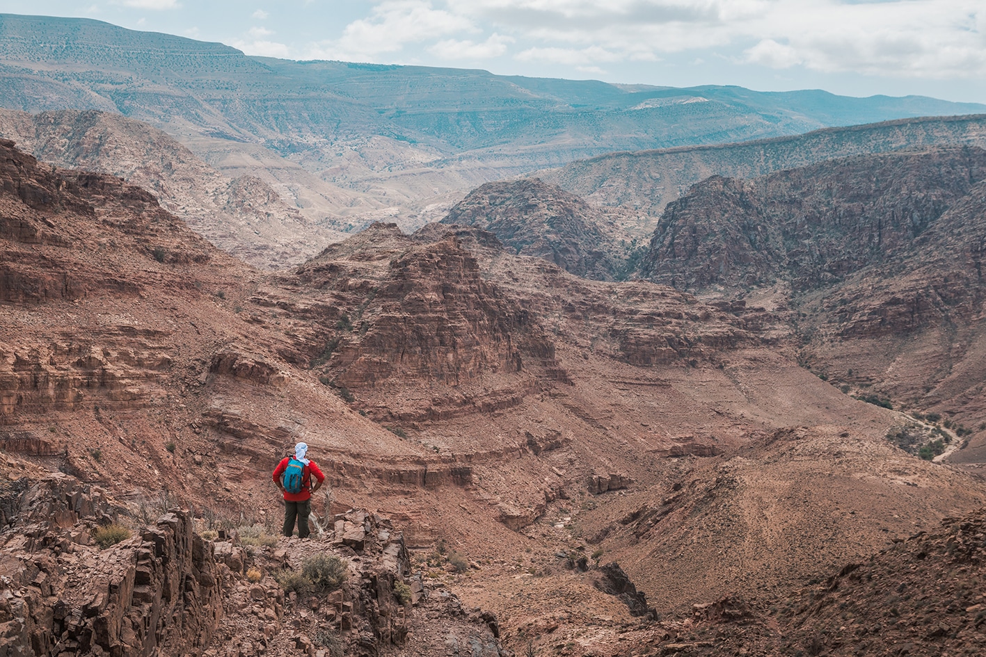
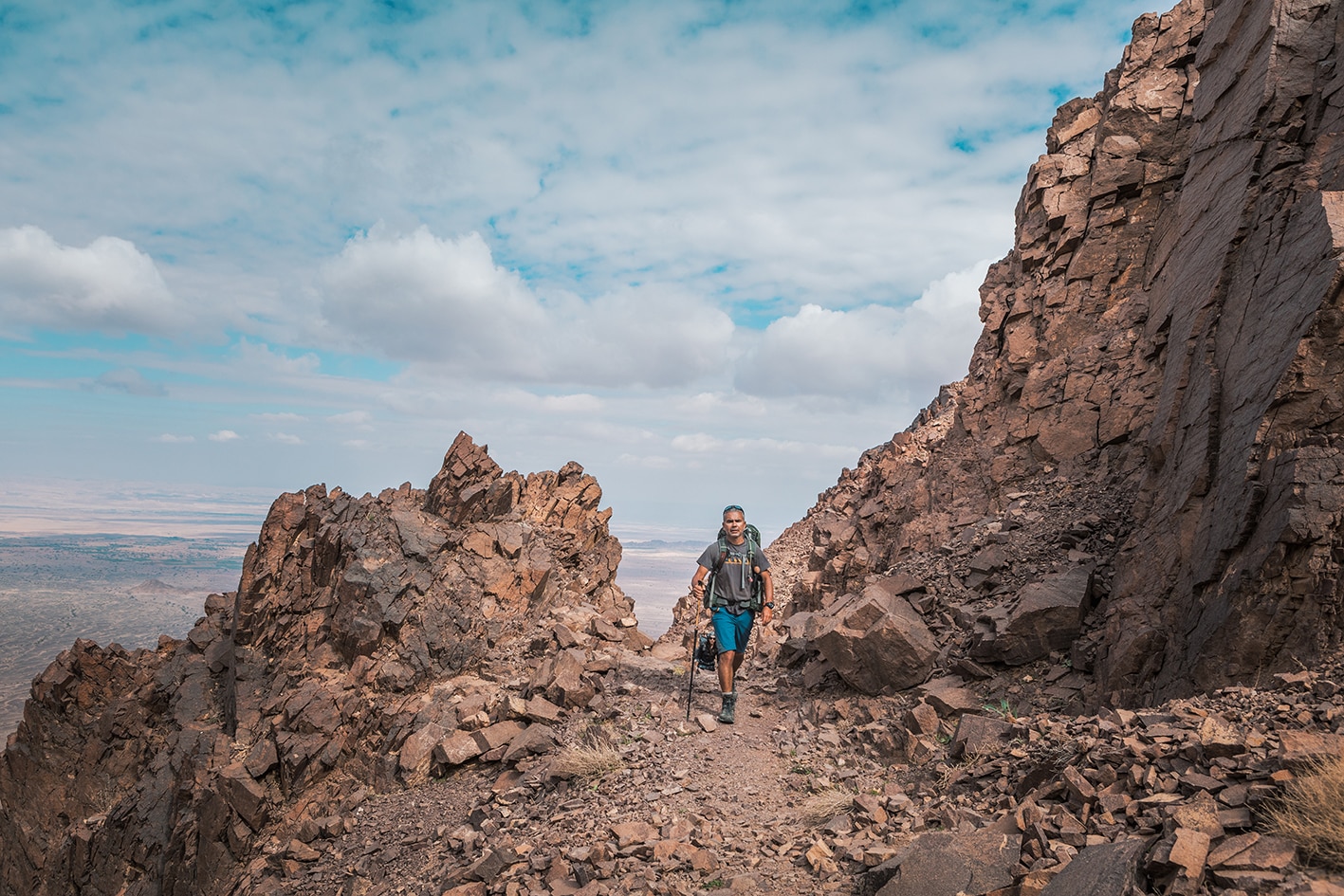
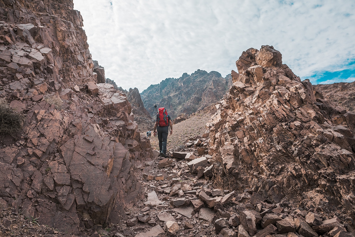
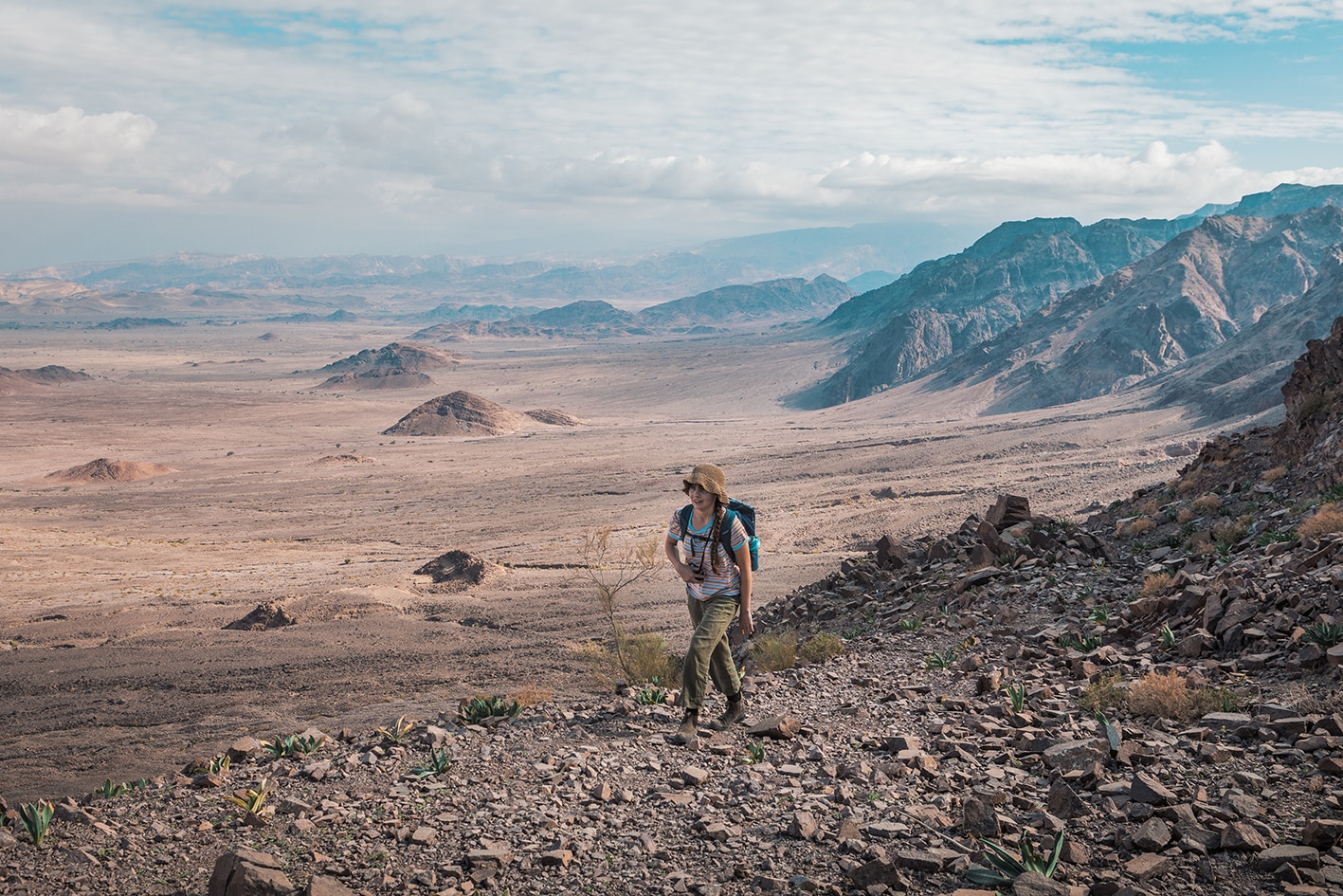
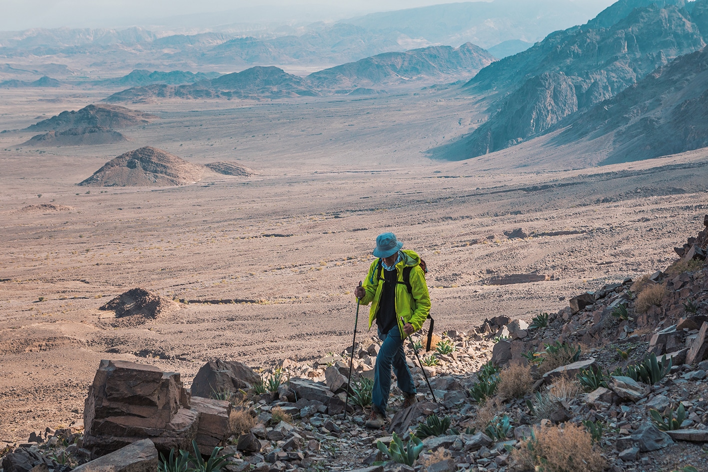
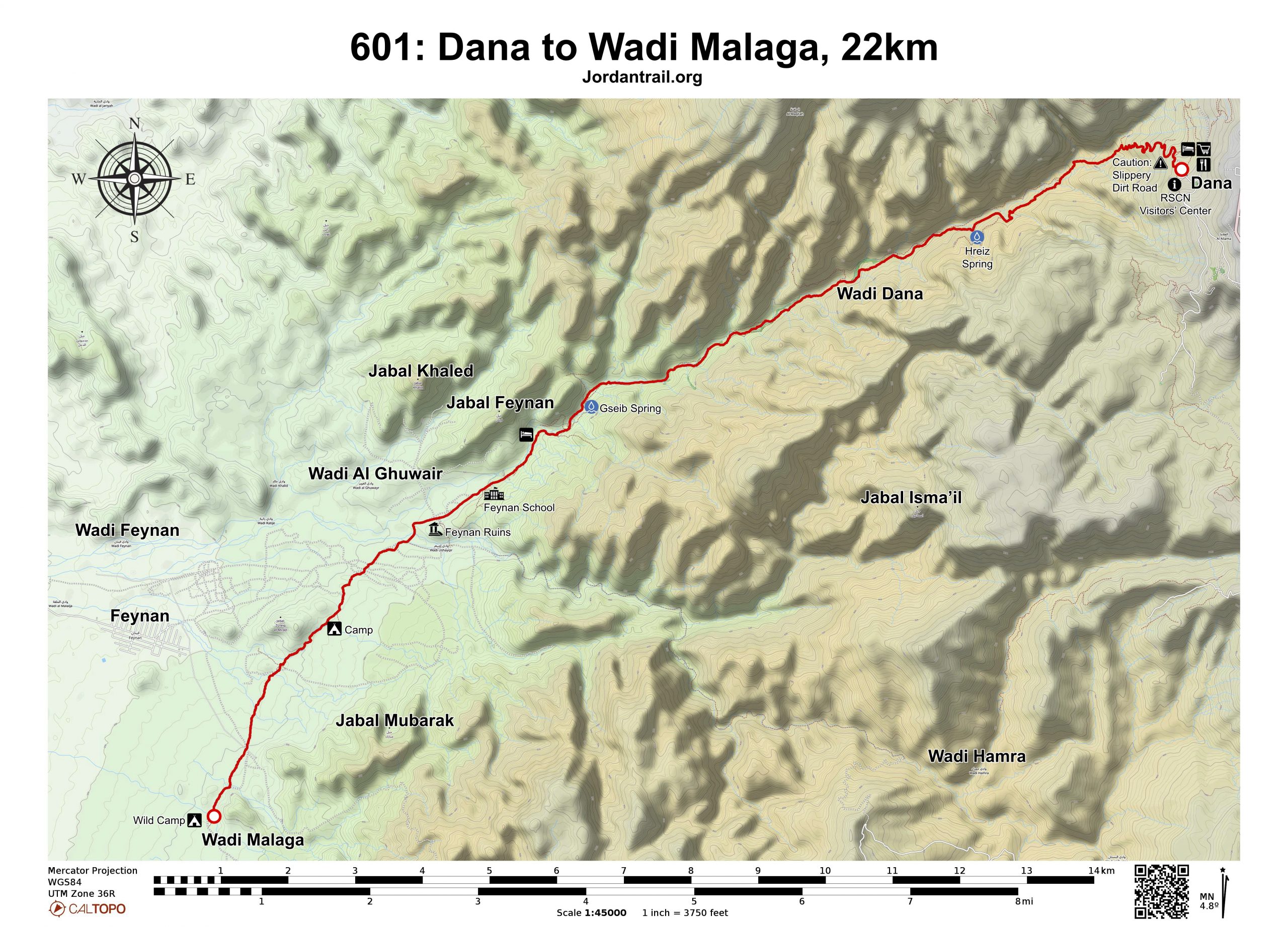
من القرية، يوجد مسار جيد ينزل إلى وادي ضانا الطويل وسط مناظر خلابة من الحجر الرملي. اتبع المسار بهدوء نزولاً عبر الوادي حتى تصل في النهاية إلى نزل فينان البيئي الحاصل على جوائز، والذي يقع في منطقة تضم مناجم نحاسية رومانية. إذا لم تكن ستقيم هناك لليلة، يمكنك متابعة السير نزولاً مع اتساع الوادي، حيث تصل إلى مخيمات بدوية توفر مرافق للتخييم. تقع أيضًا بالقرب من هذه المنطقة آثار رومانية ومواقع صهر النحاس. هذه المنطقة تُعد مكانًا ممتازًا لمشاهدة غروب الشمس.

ملاحظات مهمه:

يرجى التواصل مع إدارة المحمية قبل الدخول، وذلك لدفع رسوم الدخول.

رقم محمية ضانا للمحيط الحيوي: 0799111434

وسائل النقل

من نزل فينان البيئي، يمكن ترتيب سيارة أجرة بتكلفة 12.50 دينار أردني لتوصيلك إلى مركز استقبال فينان؛ من هناك يمكنك محاولة العثور على وسيلة نقل خاصة إلى قرية جغرة القريبة. من جغرة، تتوفر حافلات يومية إلى عمّان بتكلفة 6 دنانير أردنية، وإلى العقبة بتكلفة 3 دنانير أردنية. يمكن الوصول إلى قرية ضانا عبر وسائل نقل خاصة من مناطق الطفيلة أو القادسية القريبة، اللتين توفران وصلات حافلات مع عمّان ومدن رئيسية أخرى. يمكن لمحمية ضانا للمحيط الحيوي المساعدة في ترتيب سيارة أجرة من هناك.

جهات الاتصال المحلية / أماكن الإقامة
  • مخيم وادي الغوير, مخلد الرشايدة, 962772325758+, ختم سجل الدرب وادي ملقا
  • مخيم, علي الرشايدة, 962772465349+
  • نزل فينان البيئي:, +96265850333
  • التخييم البري, محمد ضيف الله الصغايرة, 962799927199+, ختم سجل الدرب وادي ملقا
  • التخييم البري, ابراهيم النعية, 962772005129+, ختم سجل الدرب ضانا 
  • التخييم البري, علي الرشايدة, 962770238170+
  • النخييم البري, امجد عمارين, 962777178370+
  • التخييم البري, احمد عطا الله عمارين, 962778701658+
  • التخييم البري, علي محمد حساسن, 962772320021+
  • التخييم البري, فواز رشايدة, 962770407075+
  • التخييم البري, محمد صايل رشايدة, 962777545686+
  • التخييم البري, فايز رشايدة, 962770407074+
  • التخييم البري, رعد علي رشايدة, 962772029216+
  • التخييم البري, احمد رعد رشايدة, 962772129216+
أهم المعالم التي يمكن مشاهدتها
  • آثار قرية ضانا
  • محمية ضانا للمحيط الحيوي
  • نزل فينان البيئي:
  • قرية فينان
  • آثار قرية فينان- خربة النحاس
الطعام والماء

الطعام:

  • الوجبات متوفرة في نزل فينان

الماء:

  • قرية ضانا
  • الماء متوفر في فينان وفي عدة ينابيع على طول المسار.
  • لا يوجد ماء في موقع التخييم البري بوادي ملقا
  • نزل فينان البيئي:سوف يقدمون الماء فقط إذا قمت بشراء زجاجاتهم الناعمة القابلة لإعادة الاستخدام (بتكلفة 7 دنانير). تتوفر دورات مياه في نزل فينان البيئي.
النصائح والسلامة العامة

النصائح:

  • معظم المشي خلال اليوم يكون في مناطق تحتوي على أحجار متفرقة ورمال وحصى في قيعان الأودية.

السلامة العامة:

  • الأرض غير المستقرة – تتكون الأسطح من صخور ورمال وأرضية الأودية.
  • الجفاف والإرهاق الحراري – يوجد ظل قليل جدًا على طول المرحلة، لكن هناك بعض أشجار الأكاسيا الصغيرة المتفرقة والصخور المتدلية على جوانب الأودية التي قد توفر بعض الظل.

تغطية الهاتف المحمول: هناك تغطية هاتفية محدودة في المناطق المرتفعة حول الكيلومتر8، وأيضًا في أعلى المسار عند نهاية مرحلة وادي ضانا.

The Jordan Trail is a newly established trail, and is not marked. It is therefore our strong recommendation that you hire a local guide for your safety as many sections are remote with limited water sources and at times no connectivity.
By downloading these maps/GPX you take full responsibility for their use and accuracy; Jordan Trail Association does not warrant the accuracy or completeness of the information, materials or the reliability of any maps as they provided AS IS without warranty of any kind, either express or implied, including but not limited to, fitness for a particular purpose, or non-infringement ;You acknowledge that any reliance on any such maps, shall be at your sole risk and responsibility as Hiking, backpacking, and other outdoor activities all have potential hazards involving risk of injury or death. Outdoor activities have inherent risks and you should ensure you have the skill level and abilities suitable for the activities in Jordan to partake in them and to take all precaution measures.  Check the data on Google Earth or other Apps or Programs before using them.  The Jordan Trail Association shall not be held responsible for any incidents that may occur during your participation in any activity and/or by using any of the maps/GPX.
AGREE
close-link