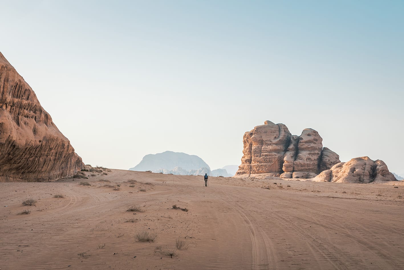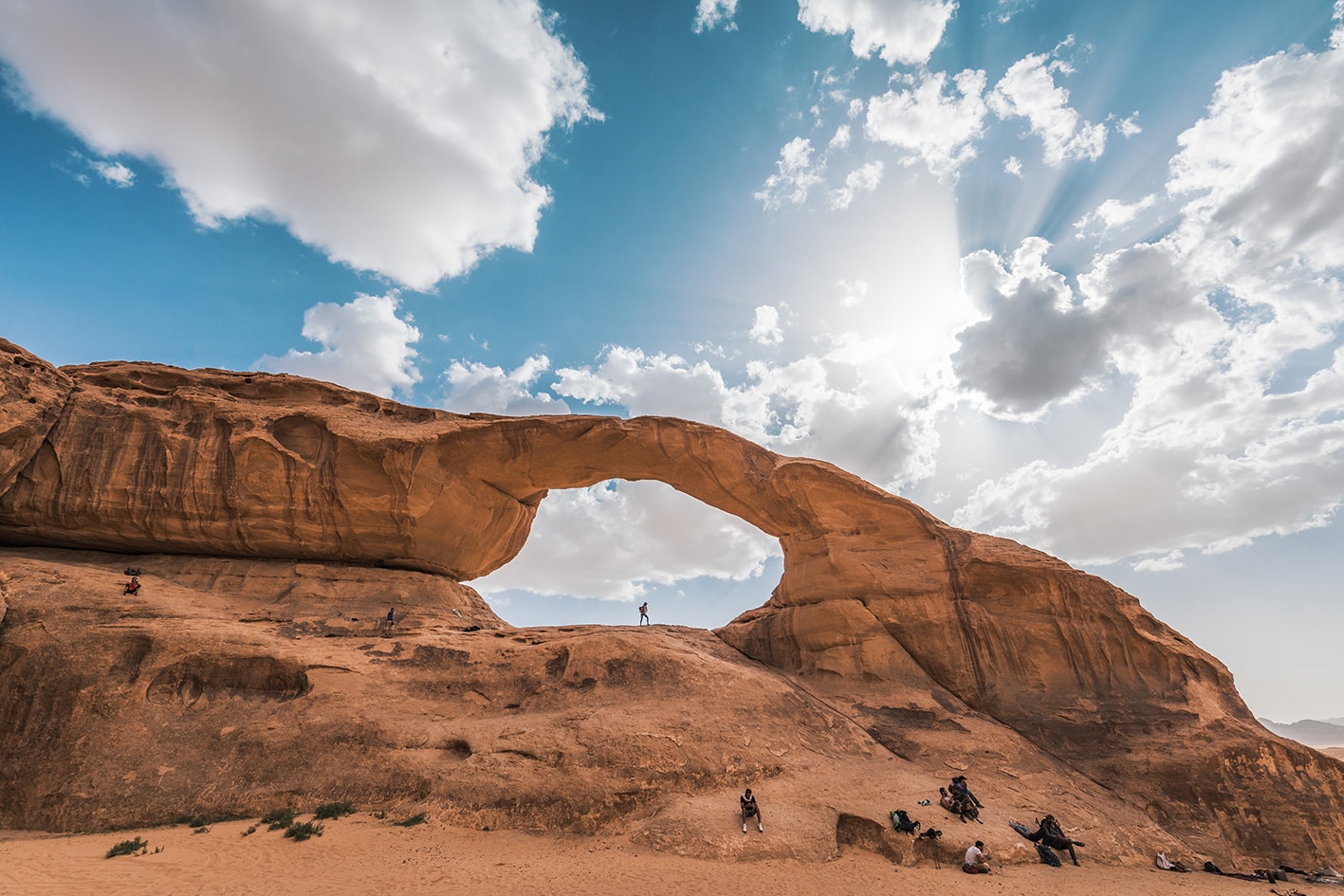


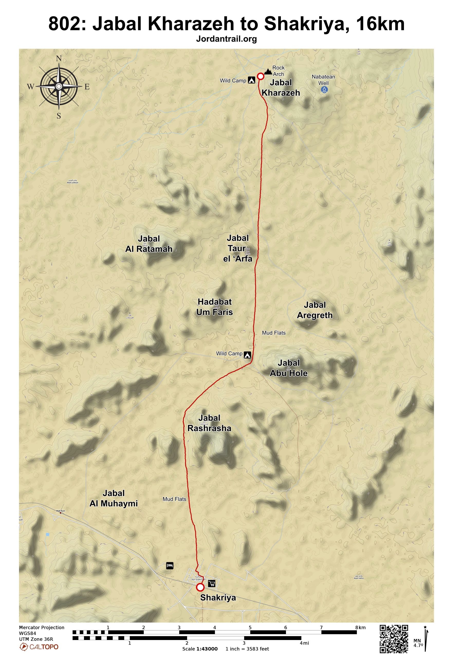


من القوس الحجري على جبل خرازة، اتجه جنوباً بزاوية 180 درجة، مروراً عبر ممر يظهر أمامك مباشرةً، دون الانعطاف يميناً أو يساراً. مرّ بجبل أريغريث على يسارك، متجهاً نحو الحافة الغربية لجبل أبو هول.
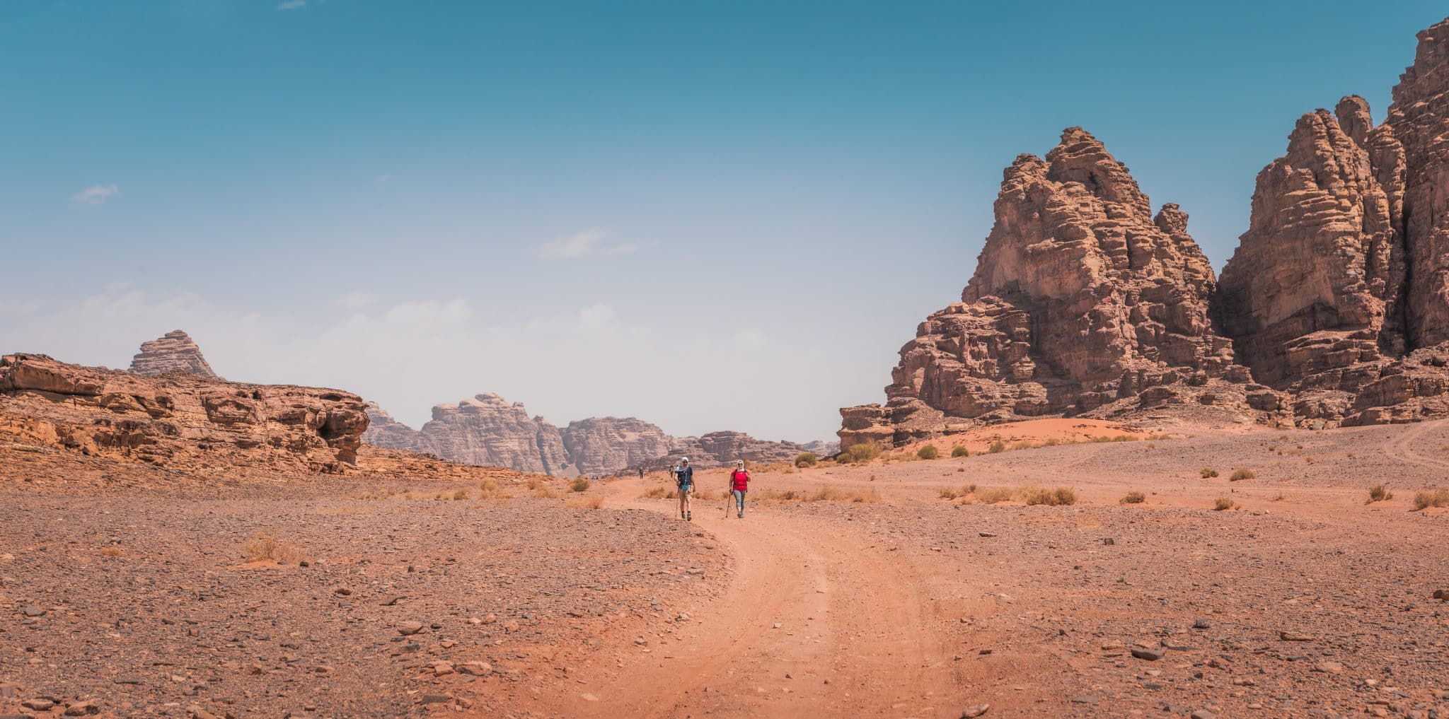
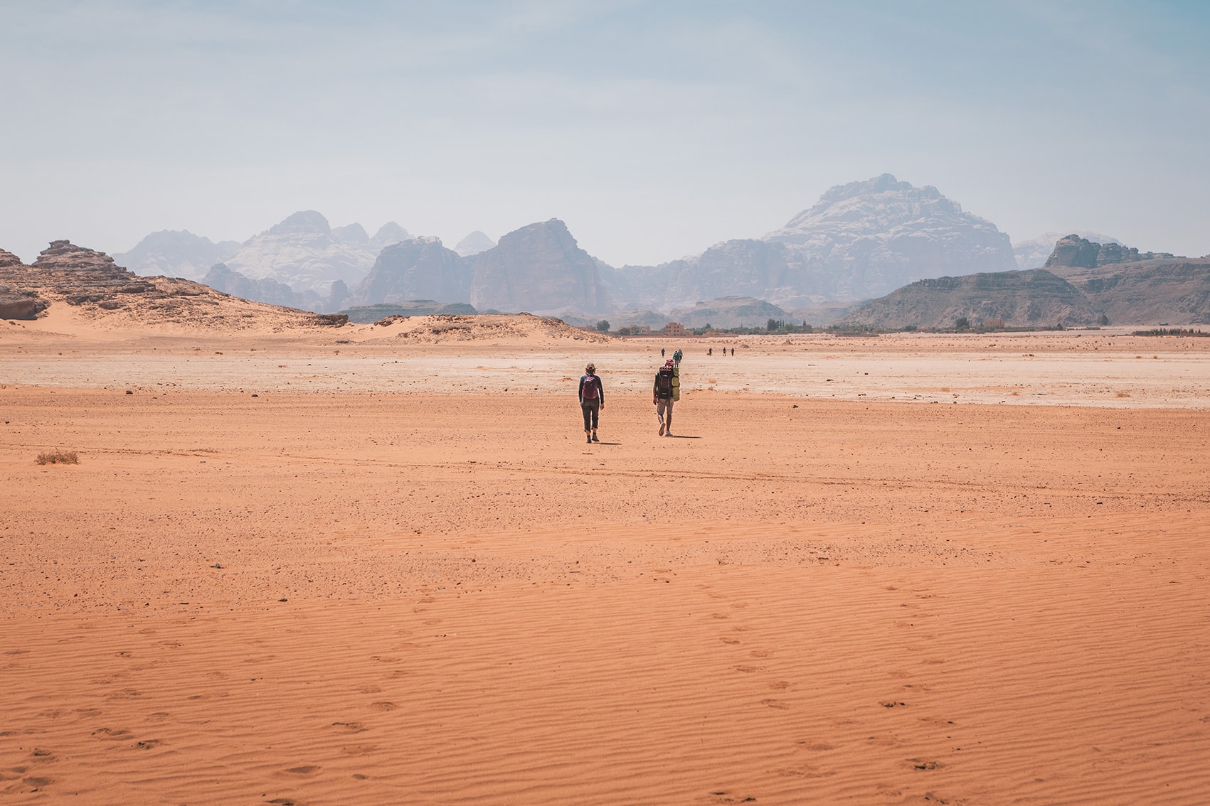
بعد حوالي 7 كم، تمر بجانب بعض السبخات الطينية الجافة (الـقاع)، ثم اتجه جنوب غرب لمسافة تقارب 3 كم، وبعدها عد لتتجه جنوبًا مرة أخرى لتسلك الطريق بين جبلي أبو رشراشة، مرورًا بكومة حجارة كبيرة تُشير إلى مقبرة صغيرة على يسارك. واصل السير مباشرة جنوبًا عبر المزيد من السبخات الطينية حتى تصل إلى قرية الشقرية التي ستظهر أمامك، لتدخلها من الجهة القريبة من المدرسة.