0
0 items
No products in the cart.

القسم 404.1: موميا الطريق الفرعي

  • مسارات المشي في المنطقة

  • موميا الطريق الفرعي

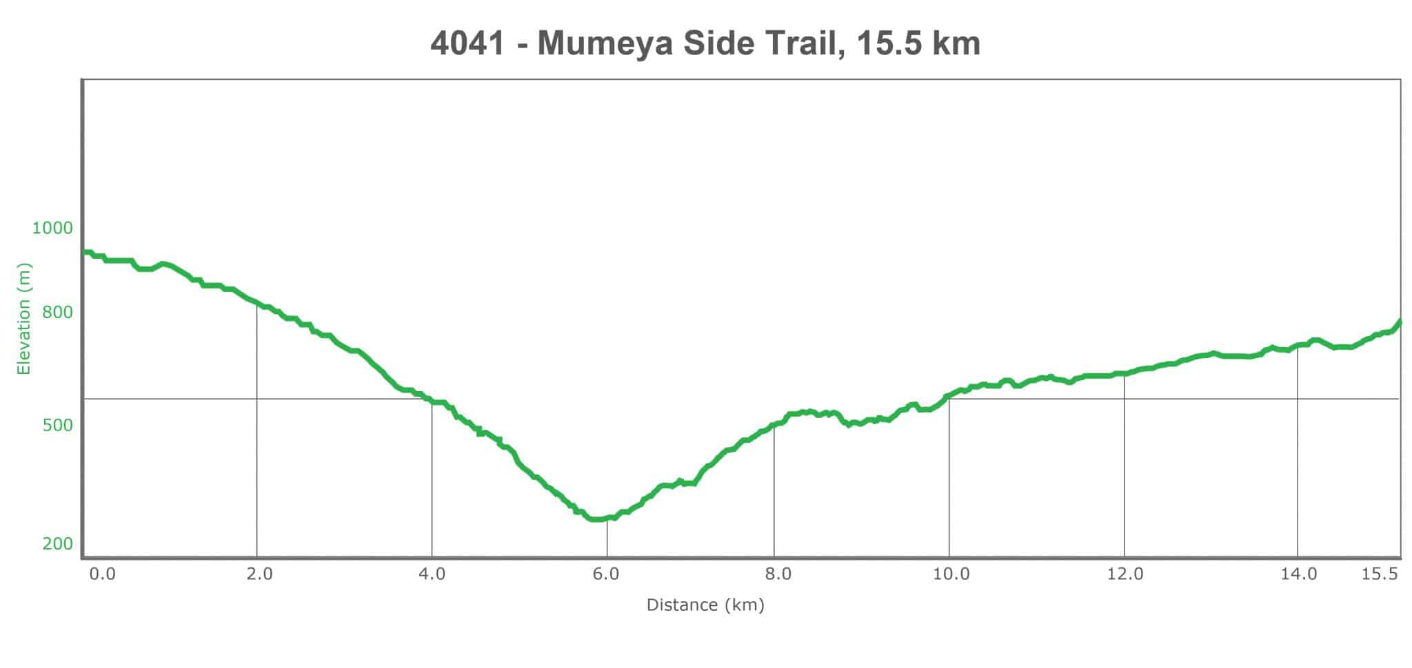
  • المسافة: 15.5 كم

  • الوقت اللازم للمسير: 5 ساعات

  • التحدي البدني: متوسط

  • صعوبة المسار: متوسط

  • تعليم المسار: نعم

To download the Jordan Trail GPS tracks, click here

The Jordan Trail is a newly established trail, and is not marked. It is therefore our strong recommendation that you hire a local guide for your safety as many sections are remote with limited water sources and at times no connectivity.
By downloading these maps/GPX you take full responsibility for their use and accuracy; Jordan Trail Association does not warrant the accuracy or completeness of the information, materials or the reliability of any maps as they provided AS IS without warranty of any kind, either express or implied, including but not limited to, fitness for a particular purpose, or non-infringement ;You acknowledge that any reliance on any such maps, shall be at your sole risk and responsibility as Hiking, backpacking, and other outdoor activities all have potential hazards involving risk of injury or death. Outdoor activities have inherent risks and you should ensure you have the skill level and abilities suitable for the activities in Jordan to partake in them and to take all precaution measures.  Check the data on Google Earth or other Apps or Programs before using them.  The Jordan Trail Association shall not be held responsible for any incidents that may occur during your participation in any activity and/or by using any of the maps/GPX.
AGREE
close-link

أنقر هنا

FEATURED DOWNLOAD –
The Jordan Trail is a newly established trail, and is not marked. It is therefore our strong recommendation that you hire a local guide for your safety as many sections are remote with limited water sources and at times no connectivity.
AGREE
close-link
لتحميل الخريطة
أرقام مهمة

الشرطة السياحية:

الخط الساخن: 117777
واتساب: +962770992690

*في حال التواصل مع شرطة السياحة في حالة طارئة، يُرجى تحديد أنك تسير على درب الأردن، وذكر جنسيتك، موقعك الحالي، واسم ورقم الخريطة.

مكتب جمعية درب الأردن: +962 6 461 0999

(ساعات العمل: من 9:00 صباحًا حتى 5:00 مساءً، من الأحد إلى الخميس)

معلومات عامة

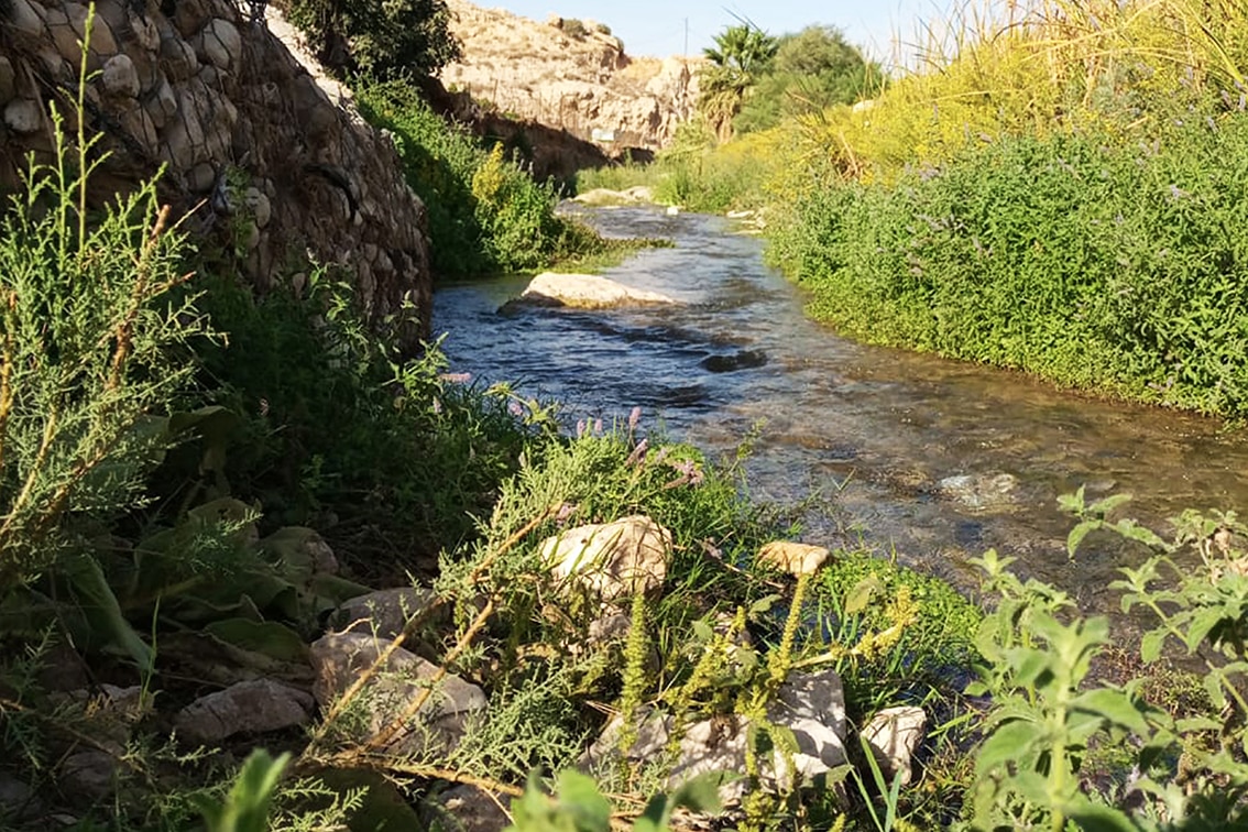
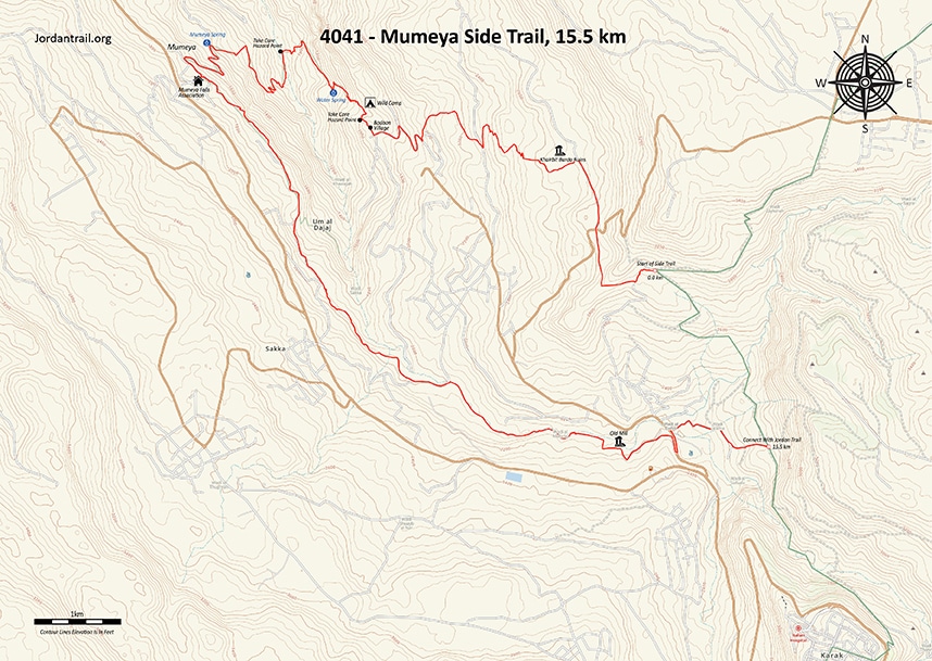
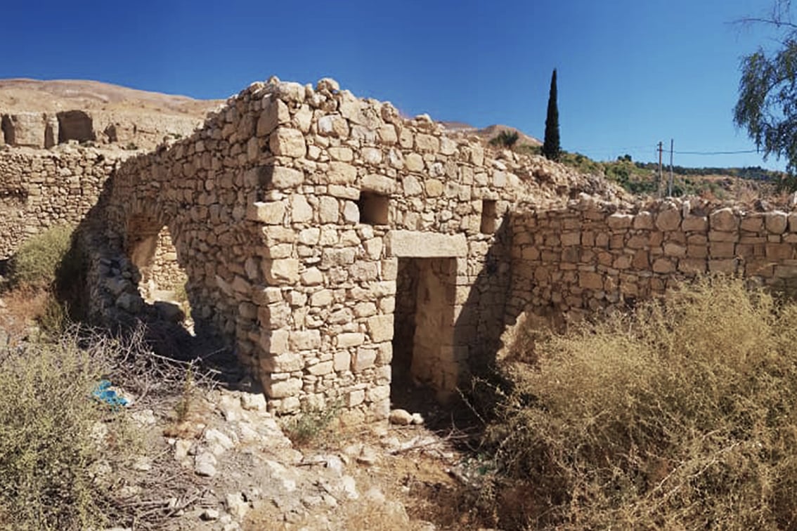
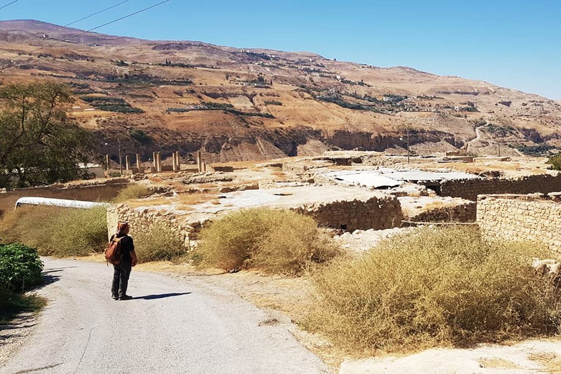
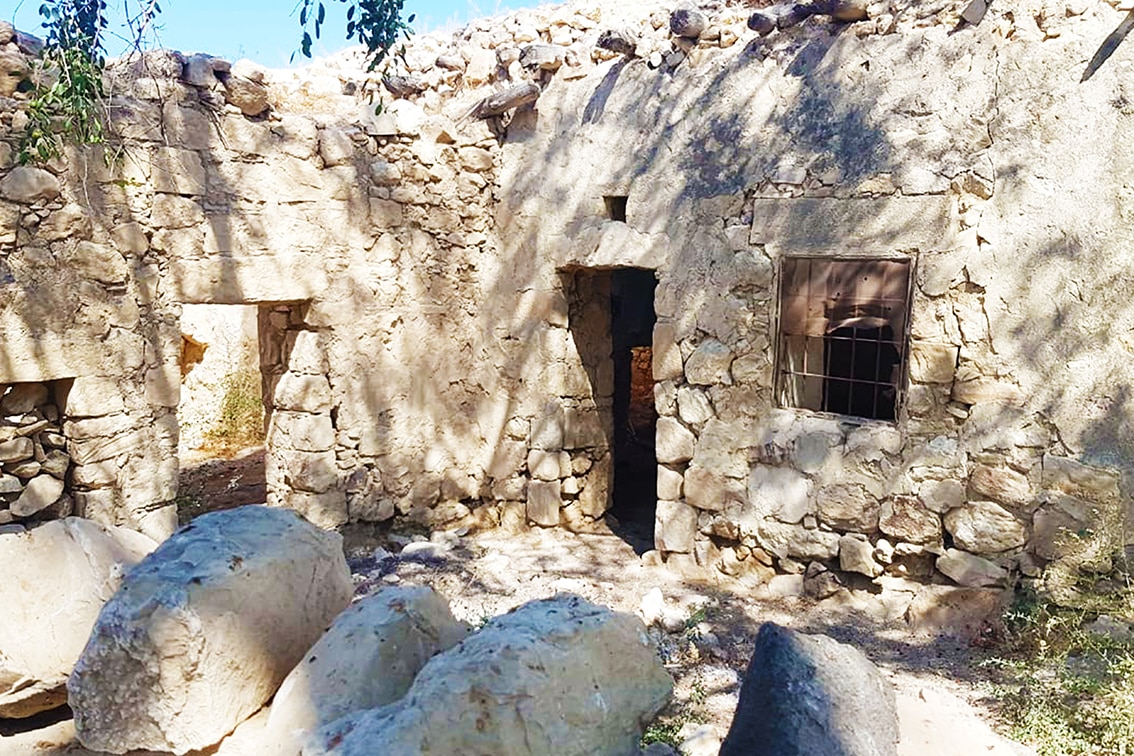
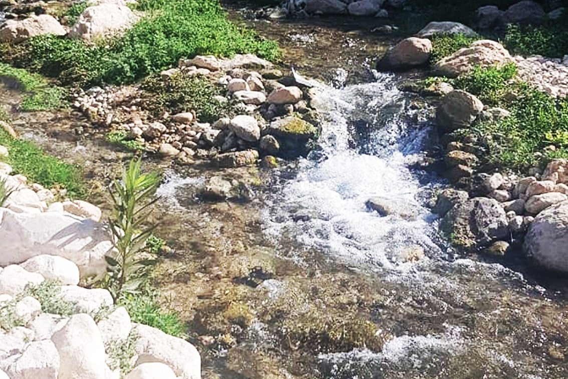
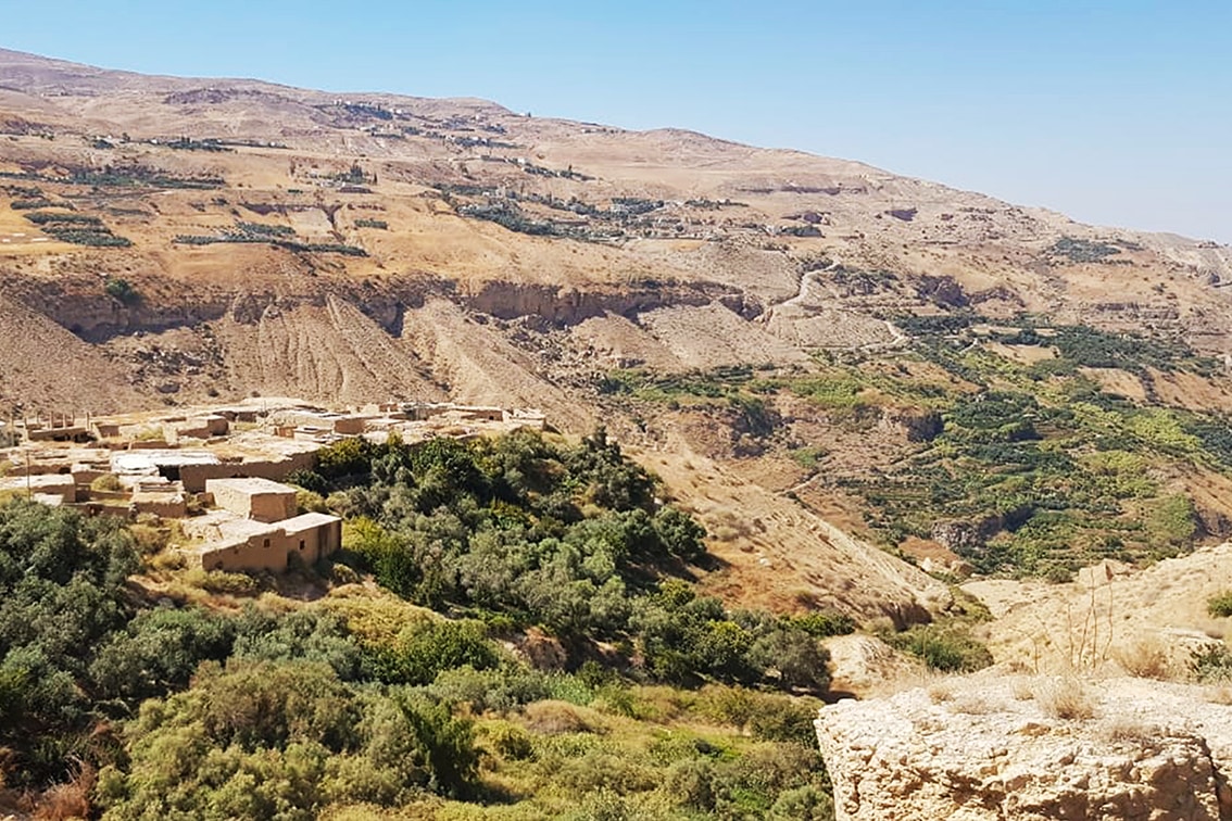
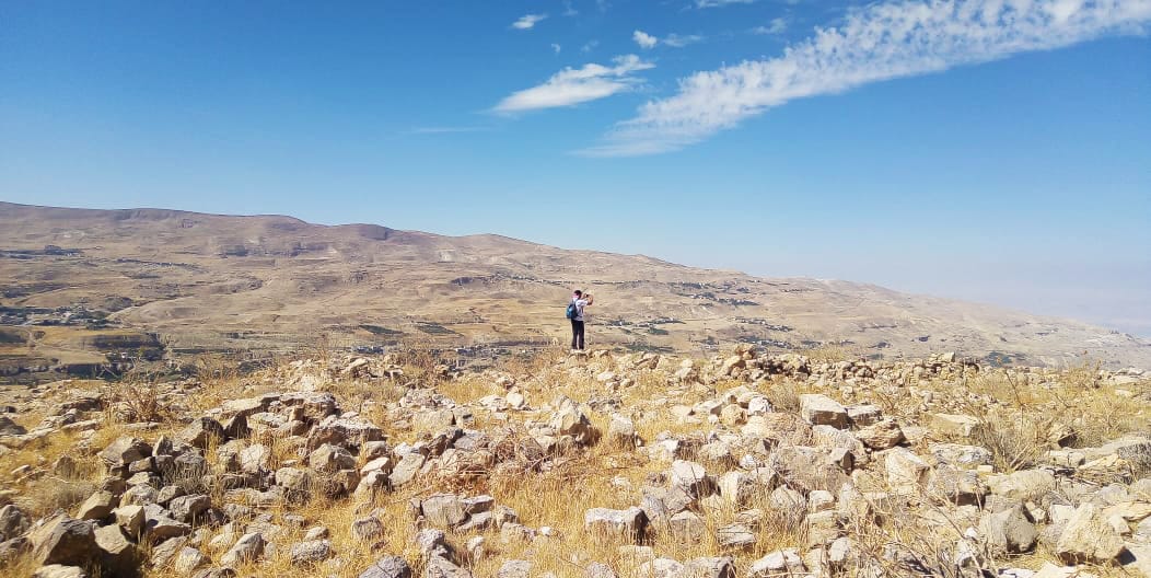
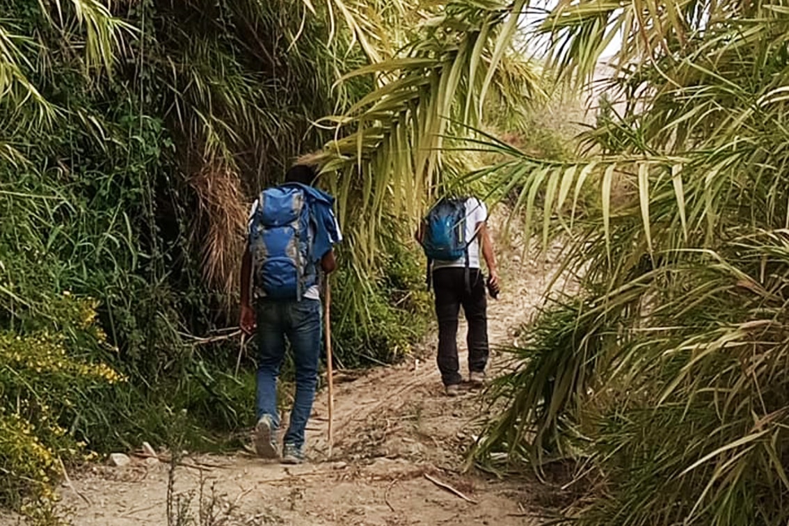
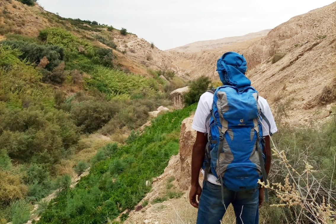
عند وصولك إلى قرية راكين (حيث تتوفر محالّ وبقالة ومقهى)، ينحدر المسار بلطف نحو وادي الطواحين عند الكيلومتر 16 من مقطع مجدلين – الكرك. وهناك، تصل إلى منعطف حاد تبدأ منه المسار الفرعي المؤدي إلى موميا. بعد نزهة قصيرة بين الحقول المجاورة، تصل إلى طريق ترابي، سرعان ما يقودك إلى جهة اليسار حيث تقع أآثار بردى, من هناك، تبدأ النزول إلى الوادي متتبعًا العلامات الإرشادية حتى تصل إلى قرية بدّان، التي تمثل مثالاً أصيلاً للقرى القديمة في العهد العثماني. سر عبر أزقتها التاريخية حتى نهايتها، ثم واصل النزول لتصل إلى شلال وعيْن بدّان. بعدها، تابع النزول حتى تصل إلى مياه وادي الكرك، ثم اتبع العلامات الإرشادية صعودًا حتى تبلغ الطريق المعبّد الذي يمرّ عبر المزارع المحلية، لتصل إلى عين موميا الرئيسية وقرية شلالات موميا، حيث تتوفر خيارات الإقامة في بيوت قديمة مُجدَّدة. واصل السير على حواف الوادي، مرورًا بالمزارع والحقول، حتى تدخل أعماق وادي الكرك، حيث ستجد عيون سارة والطواحين المائية العثمانية القديمة. وأخيرًا، ابدأ الصعود لتصل إلى نهاية المسار الفرعي الذي يتصل بدرب الأردن.

وسائل النقل
  • تغادر الحافلات من المجمّع الجنوبي في عمّان (جامعة مؤتة) باتجاه الكرك. كما تنطلق الحافلات الصغيرة من الجهة الشرقية للمدينة القديمة في الكرك نحو المجمّع، متجهة في المسار الجنوبي.
  • من الكرك، يمكنك استقلال سيارة أجرة أو حافلة نقل محلية للوصول إلى قرية راكين.
جهات الاتصال المحلية / أماكن الإقامة

موميا

  • جمعية شلالات موميا: السيد رامي جعافرة 962795306044+

الكرك

  • بيت الجميد: السيدة أماني بشابشة 962772034933+
  • فندق القيروان’$’ 96232396022+, يقدم واي فاي، مواقف سيارات، وجبات، وتأجير دراجات.
  • فندق فالكون روك، يضم مطعمًا بالقرب من مدخل القلعة، ويوفر بوفيه غداء بسعر 12 دينار أردني.
  • فندق الموجب,$, 032386090, يبعد 4 أميال جنوب الكرك، يتوفر فيه واي فاي وغسيل ووجبات، لكن موقعه غير مناسب.
  • فندق قلعة الأبراج,$, 032354293, تقييمات سيئة
أهم المعالم التي يمكن مشاهدتها
  • قرية راكين.
  • آثار بردى.
  • قرية بدّان القديمة.
  • وادي الكرك.
  • ينابيع موميا, وقرية شلالات موميا
  • نبعة سارة.
الطعام والماء

الطعام:

  • تُباع المواد الغذائية في المحال والمطاعم في راكين وموميا والكرك.

الماء:

  • تتوفر المياه في القرى.
  • في العين الواقعة أسفل قرية بدّان، إضافةً إلى العديد من الينابيع على الطريق وفي وادي الكرك، يُنصح بشدّة بترشيح المياه وتنقيتها قبل شربها.
النصائح والسلامة العامة

النصائح:

  • بعد اجتياز قرية راكين، ينحدر المسار عبر طريق ترابي مخصّص للمركبات رباعية الدفع، ثم عند المنعطف الحاد إلى اليمين يتفرع إلى طريق آخر مشابه. بعد المرور بأطلال برادة، يصبح المسار شديد الانحدار في هذه المرحلة وصولًا إلى طريق رباعي الدفع آخر يقود نزولًا نحو الطريق المعبّد المؤدي إلى بدّان. وبعد عبور بدّان، يبدأ نزول حاد جدًا (يتطلب حذرًا شديدًا) حتى الوصول إلى شلال بدّان. قبل بلوغ وادي الكرك، يمر المسار بمقطع حرج ذو أرضية غير ثابتة؛ هذا الجزء متآكل ومعرّض، ومن المرجح أن يتعرض لمزيد من التآكل مستقبلًا.

السلامة العامة:

  • الحواف المكشوفة: في النزول الأخير نحو وادي الكرك، بعض المسارات شديدة الانحدار.
  • مخاطر السيول – أثناء عبور وادي الكرك.
  • الأرضية غير المستقرة: تكون الأرضية زلقة وغير ثابتة عند المقطع المكشوف قرب الشلالات الجافة وأثناء النزول قبل وادي الكرك.


The Jordan Trail is a newly established trail, and is not marked. It is therefore our strong recommendation that you hire a local guide for your safety as many sections are remote with limited water sources and at times no connectivity.
By downloading these maps/GPX you take full responsibility for their use and accuracy; Jordan Trail Association does not warrant the accuracy or completeness of the information, materials or the reliability of any maps as they provided AS IS without warranty of any kind, either express or implied, including but not limited to, fitness for a particular purpose, or non-infringement ;You acknowledge that any reliance on any such maps, shall be at your sole risk and responsibility as Hiking, backpacking, and other outdoor activities all have potential hazards involving risk of injury or death. Outdoor activities have inherent risks and you should ensure you have the skill level and abilities suitable for the activities in Jordan to partake in them and to take all precaution measures.  Check the data on Google Earth or other Apps or Programs before using them.  The Jordan Trail Association shall not be held responsible for any incidents that may occur during your participation in any activity and/or by using any of the maps/GPX.
AGREE
close-link

FEATURED DOWNLOAD -
The Jordan Trail is a newly established trail, and is not marked. It is therefore our strong recommendation that you hire a local guide for your safety as many sections are remote with limited water sources and at times no connectivity.
AGREE
close-link