0
0 items
No products in the cart.

المنطقة الخامسة: الكرك إلى ضانا

  • تفاصيل المنطقة

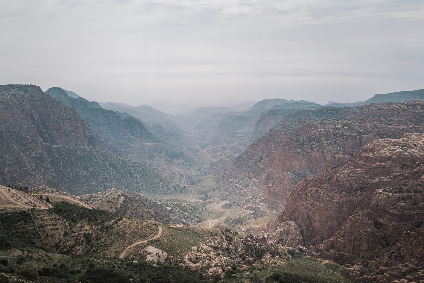
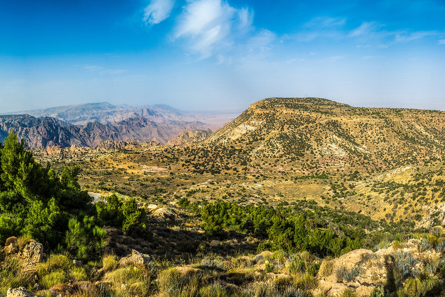
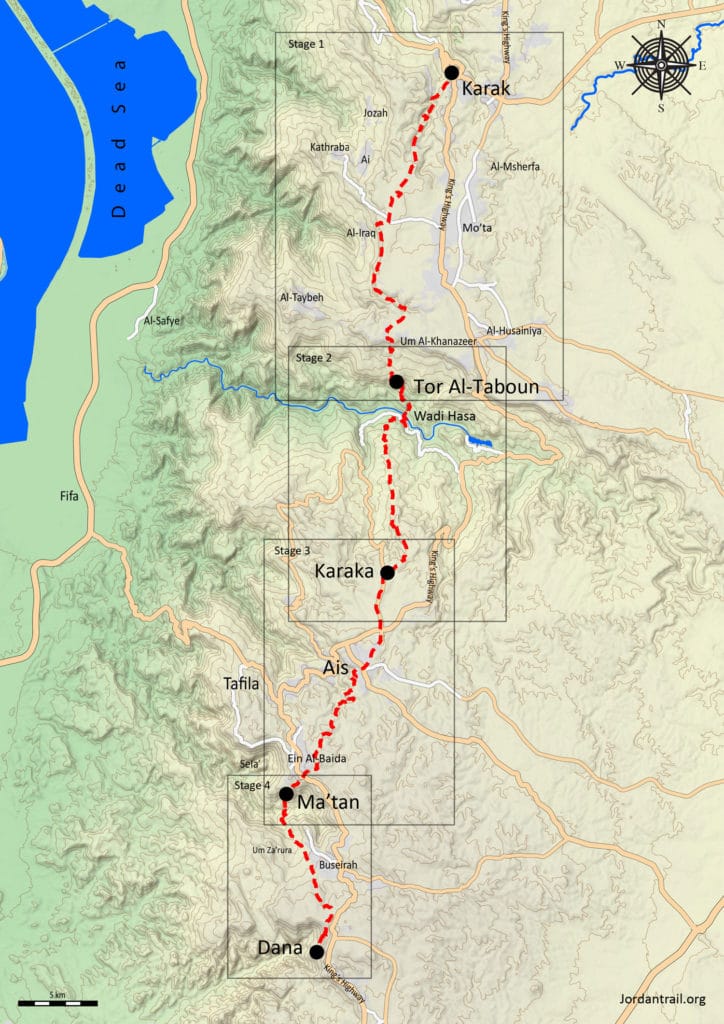
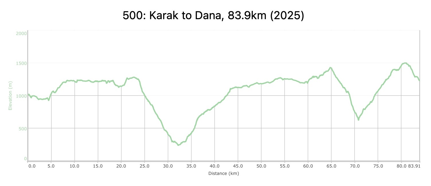
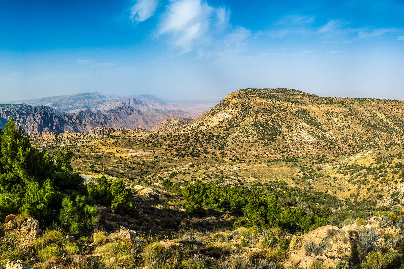
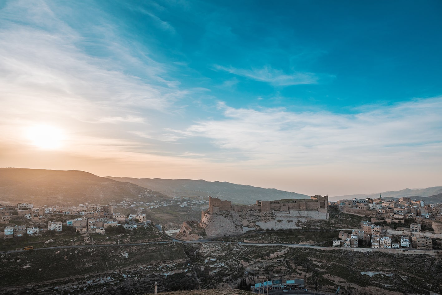
    يخرج درب الأردن من الكرك عند الحصن الجنوبي, لينحدر نحو وادٍ بديع متعرّج. وعلى سلسلة من المنحدرات المقابلة للواد، تنتصب قرية شُهابيّة، التي كان الصليبيون قد أطلقوا عليها اسم إفرنجي بعد سقوط قلعة الكرك واستقرارهم فيها. وأبعد في الوادي، يصل المسار إلى قرية خربة عينون المهجورة، التي تتربع بمشهد درامي فوق منعطف حاد يشبه حدوة الحصان في مجرى الوادي. بعدها، يرتقي الدرب إلى سهل خصب ، حيث تنتشر البساتين وحقول الزيتون المطلة على وادي نُميْرة. ومن هناك، يتجاوز المسار تلاً آخر قبل أن يبلغ حافة وادي الحسا المهيب، الذي يشق الأخدود بعمق يصل إلى ألف متر في المشهد الطبيعي عند الطرف الجنوبي للبحر الميت. ومنحدراً، يسلك الدرب طريقاً يتعرج بين المنحدرات الكلسية الشاهقة في منطقة طور الطابون، متجهاً نزولاً ليعبر قاع الوادي ثم يصعد الجانب الآخر، مروراً بمضارب البدو على الطريق. وبالعودة إلى الهضبة، يتابع المسار سيره عبر سلسلة من التلال المتموجة جنوباً، مروراً بعدد من القرى الواقعة شرق الطفيلة، حتى يصل إلى أطلال الأدوميين في سِلع ومِعْتان. ثم يعبر الدرب وادي لبون العميق، قبل أن يستوي على أرض أيسر، ليعبر التل التالي وصولاً إلى قرية ضانا المُرمَّمة، حيث تتوزع فنادقها ومخيّمها على حافة وادي ضانا عند طرف محمية الجمعية الملكية لحماية الطبيعة.

    أربعة أيام المسافة: 83.2 كم

  • أبرز المواقع في هذه المنطقة:

  • قلعة الكرك.

  • قرية خربة عينون في وادي ملته

  • الصخور في طور الطابون

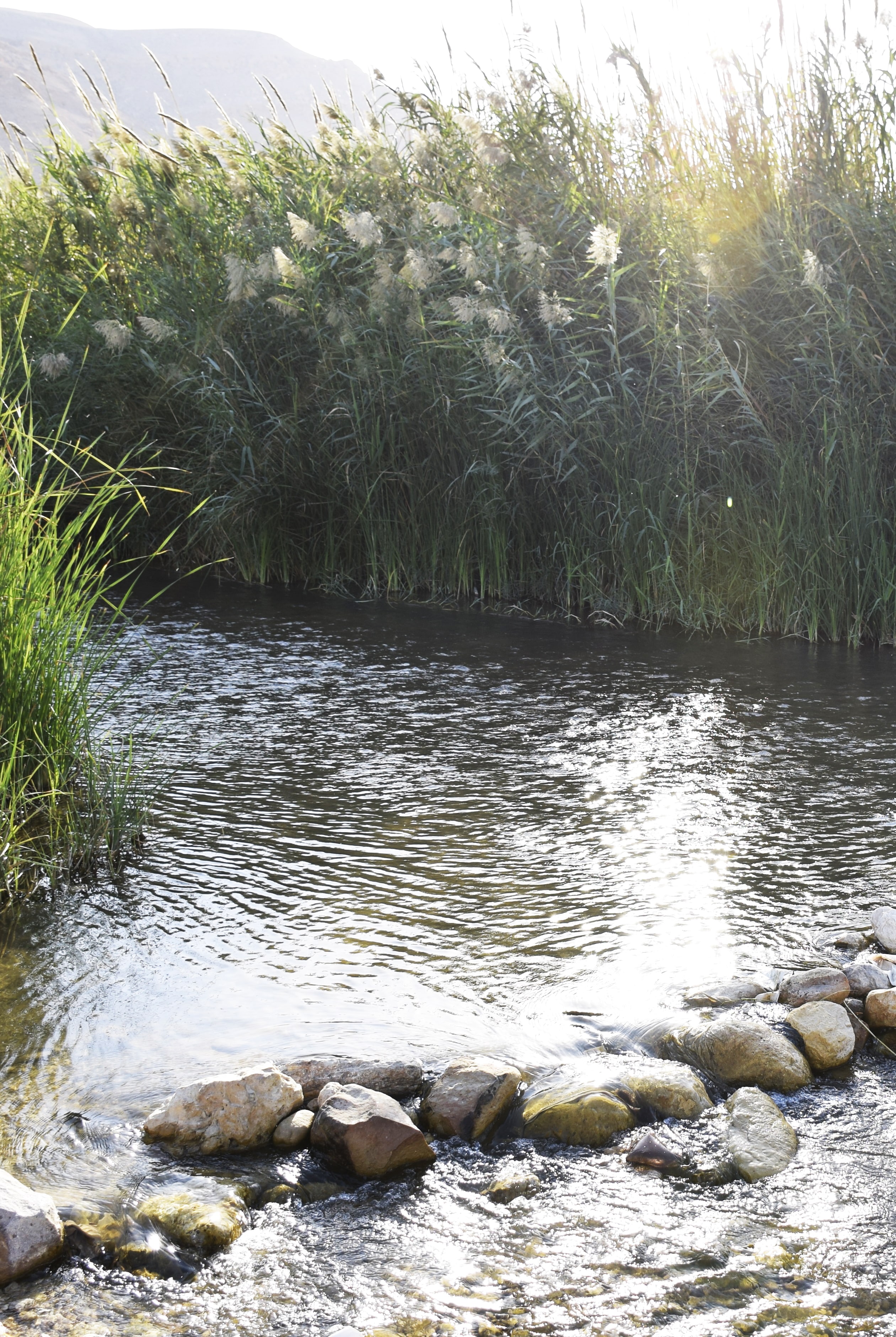
  • وادي الحسا

  • قريتا المعطن وبُصيرة، وآثار الأدوميين

  • قرية ضانا ومحمية ضانا للمحيط الحيوي (تُطبَّق رسوم دخول).

لتحميل مسار GPS،  اضغط هنا. 
أنقر هنا

The Jordan Trail is a newly established trail, and is not marked. It is therefore our strong recommendation that you hire a local guide for your safety as many sections are remote with limited water sources and at times no connectivity.
By downloading these maps/GPX you take full responsibility for their use and accuracy; Jordan Trail Association does not warrant the accuracy or completeness of the information, materials or the reliability of any maps as they provided AS IS without warranty of any kind, either express or implied, including but not limited to, fitness for a particular purpose, or non-infringement ;You acknowledge that any reliance on any such maps, shall be at your sole risk and responsibility as Hiking, backpacking, and other outdoor activities all have potential hazards involving risk of injury or death. Outdoor activities have inherent risks and you should ensure you have the skill level and abilities suitable for the activities in Jordan to partake in them and to take all precaution measures.  Check the data on Google Earth or other Apps or Programs before using them.  The Jordan Trail Association shall not be held responsible for any incidents that may occur during your participation in any activity and/or by using any of the maps/GPX.
AGREE
close-link
لتحميل الخريطة

وسائل النقل الإقليمية

نحن لا نزال نجمع هذه المعلومات. هل لديك أي تفاصيل قد تكون مفيدة؟  شاركها معنا!

لمزيد من المعلومات حول وسائل النقل في الأردن، اضغط هنا.

الإقامة

نحن لا نزال نجمع هذه المعلومات. هل لديك أي تفاصيل قد تكون مفيدة؟  شاركها معنا!
The Jordan Trail is a newly established trail, and is not marked. It is therefore our strong recommendation that you hire a local guide for your safety as many sections are remote with limited water sources and at times no connectivity.
By downloading these maps/GPX you take full responsibility for their use and accuracy; Jordan Trail Association does not warrant the accuracy or completeness of the information, materials or the reliability of any maps as they provided AS IS without warranty of any kind, either express or implied, including but not limited to, fitness for a particular purpose, or non-infringement ;You acknowledge that any reliance on any such maps, shall be at your sole risk and responsibility as Hiking, backpacking, and other outdoor activities all have potential hazards involving risk of injury or death. Outdoor activities have inherent risks and you should ensure you have the skill level and abilities suitable for the activities in Jordan to partake in them and to take all precaution measures.  Check the data on Google Earth or other Apps or Programs before using them.  The Jordan Trail Association shall not be held responsible for any incidents that may occur during your participation in any activity and/or by using any of the maps/GPX.
AGREE
close-link