0
0 items
No products in the cart.

المنطقة 4: الأودية الثلاث إلى الكرك

  • تفاصيل المنطقة

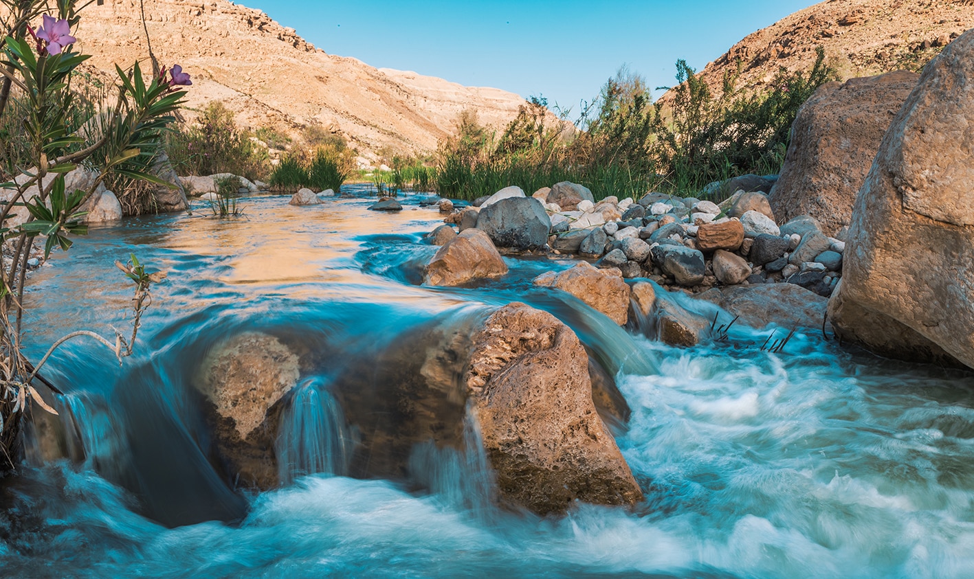
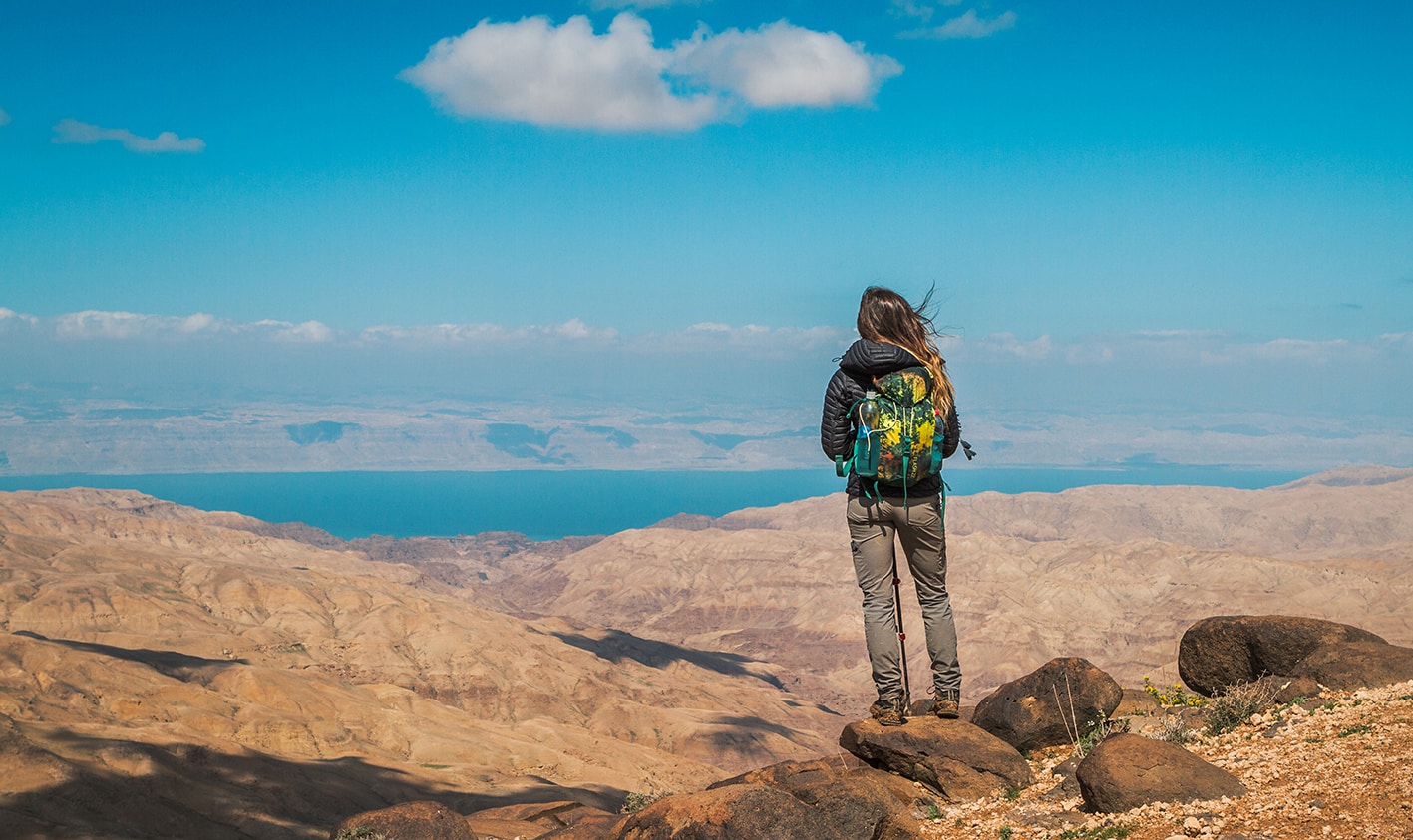
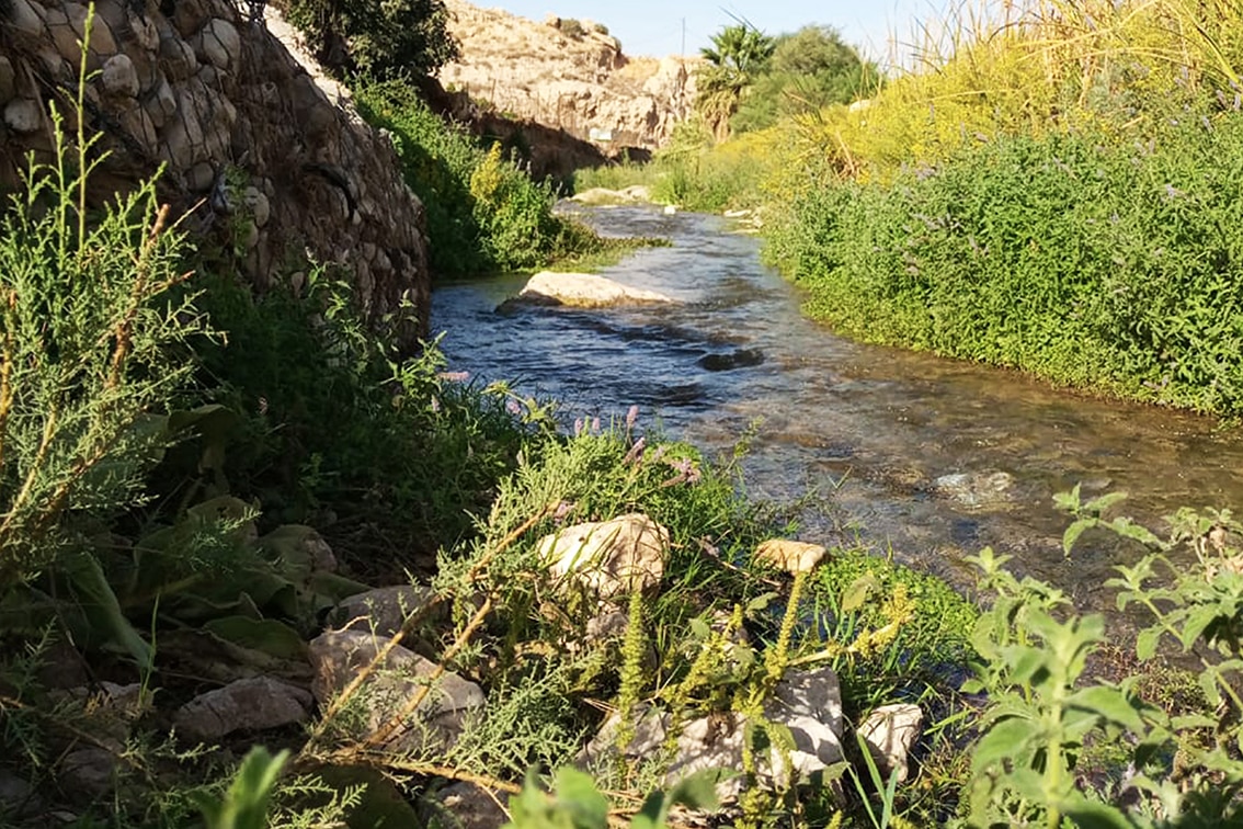
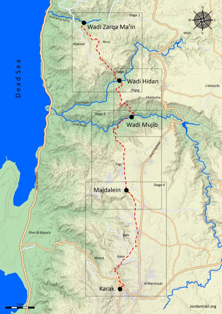
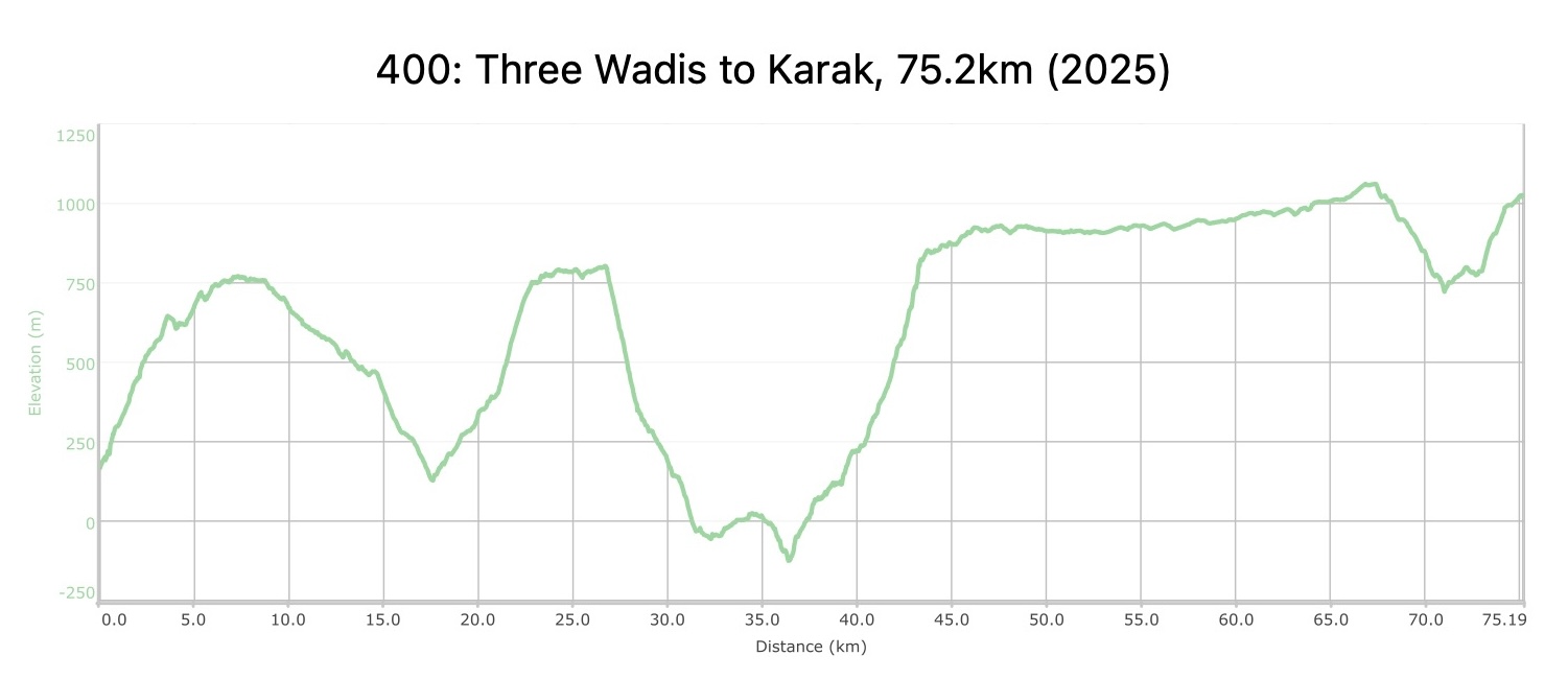
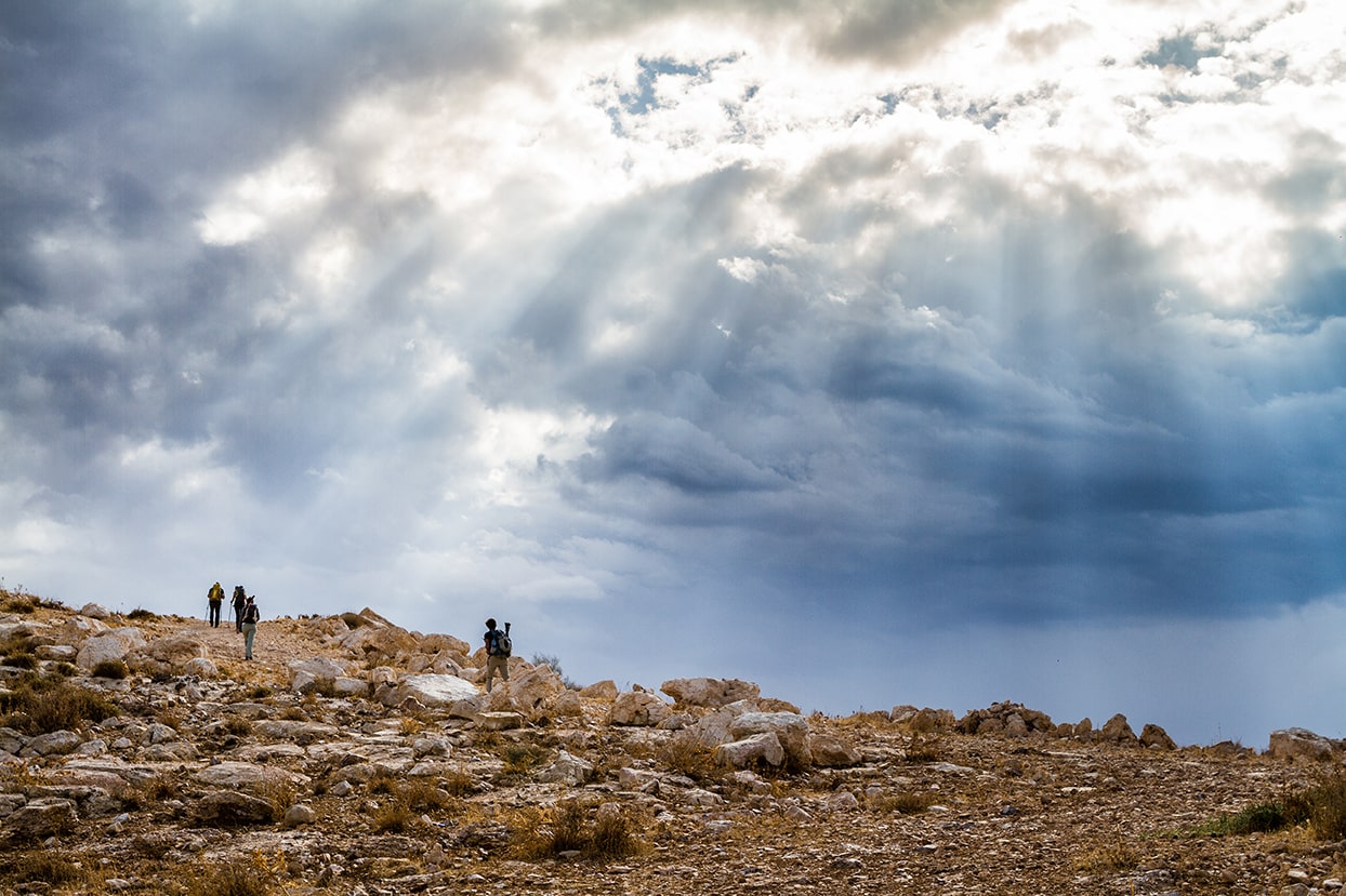
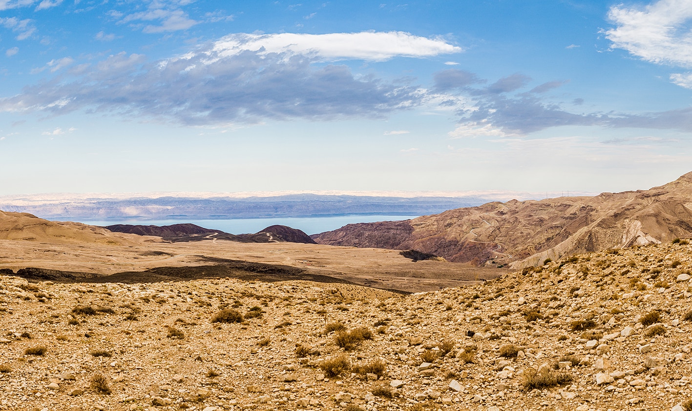
    تبدأ منطقة الأودية الثلاثة وصولًا إلى الكرك من الحافة الجنوبية لوادي الوالة، حيث يسير المسار بمحاذاة هضبة تمنح إطلالات خلابة على وادي هيدان ووادي موجب، قبل أن ينحدر ليعبر وادي موجب، المعروف بـ جراند كانيون الأردن. يتميز هذا الوادي باتساعه الهائل وعمقه الذي يصل إلى 800 متر، وفي قاعه يجري نهر دائم محاط ببقع زراعية وخيام بدوية متفرقة تكسر مشهد الطبيعة القاحلة. بعد صعود طويل، يتابع المسار جنوبًا عبر هضبة خصبة ذات تربة حمراء غنية وأراضٍ زراعية، مارًا بأطلال مجدلينا الواقعة على حافة وادي ابن حمّاد (منطقة محمية طبيعية)، قبل أن يهبط نحو 300 متر في وادي الطواحين. ومن هناك، يعود المسار للصعود عبر وادي الزيتين ليصل إلى قلعة الكرك الصليبية المهيبة، التي ترتفع شامخة فوق المشهد الطبيعي المحيط بها.

    أربعة أيام المسافة: 75 كم

  • أبرز المواقع في هذه المنطقة:

  • وادي موجب.

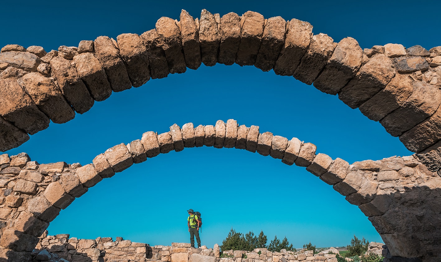
  • آثار مجدلين

  • قلعة الكرك.

لتحميل مسار GPS،  اضغط هنا. 
أنقر هنا

The Jordan Trail is a newly established trail, and is not marked. It is therefore our strong recommendation that you hire a local guide for your safety as many sections are remote with limited water sources and at times no connectivity.
By downloading these maps/GPX you take full responsibility for their use and accuracy; Jordan Trail Association does not warrant the accuracy or completeness of the information, materials or the reliability of any maps as they provided AS IS without warranty of any kind, either express or implied, including but not limited to, fitness for a particular purpose, or non-infringement ;You acknowledge that any reliance on any such maps, shall be at your sole risk and responsibility as Hiking, backpacking, and other outdoor activities all have potential hazards involving risk of injury or death. Outdoor activities have inherent risks and you should ensure you have the skill level and abilities suitable for the activities in Jordan to partake in them and to take all precaution measures.  Check the data on Google Earth or other Apps or Programs before using them.  The Jordan Trail Association shall not be held responsible for any incidents that may occur during your participation in any activity and/or by using any of the maps/GPX.
AGREE
close-link
لتحميل الخريطة

وسائل النقل الإقليمية

نحن لا نزال نجمع هذه المعلومات. هل لديك أي تفاصيل قد تكون مفيدة؟  شاركها معنا!

لمزيد من المعلومات حول وسائل النقل في الأردن، اضغط هنا.

الإقامة

نحن لا نزال نجمع هذه المعلومات. هل لديك أي تفاصيل قد تكون مفيدة؟  شاركها معنا!
The Jordan Trail is a newly established trail, and is not marked. It is therefore our strong recommendation that you hire a local guide for your safety as many sections are remote with limited water sources and at times no connectivity.
By downloading these maps/GPX you take full responsibility for their use and accuracy; Jordan Trail Association does not warrant the accuracy or completeness of the information, materials or the reliability of any maps as they provided AS IS without warranty of any kind, either express or implied, including but not limited to, fitness for a particular purpose, or non-infringement ;You acknowledge that any reliance on any such maps, shall be at your sole risk and responsibility as Hiking, backpacking, and other outdoor activities all have potential hazards involving risk of injury or death. Outdoor activities have inherent risks and you should ensure you have the skill level and abilities suitable for the activities in Jordan to partake in them and to take all precaution measures.  Check the data on Google Earth or other Apps or Programs before using them.  The Jordan Trail Association shall not be held responsible for any incidents that may occur during your participation in any activity and/or by using any of the maps/GPX.
AGREE
close-link