0
0 items
No products in the cart.

القسم 404: مجدلين إلى الكرك

  • مسارات المشي في المنطقة

  • اليوم الرابع: مجدلين إلى الكرك

  • المسافة: 22.8 كم

  • الوقت اللازم للمسير: 8 ساعات

  • التحدي البدني: متوسط

  • صعوبة المسار: صعب

  • اجمالي الصعوبة: متوسط

  • تعليم المسار: نعم

لتحميل مسار GPS، اضغط هنا.  

The Jordan Trail is a newly established trail, and is not marked. It is therefore our strong recommendation that you hire a local guide for your safety as many sections are remote with limited water sources and at times no connectivity.
By downloading these maps/GPX you take full responsibility for their use and accuracy; Jordan Trail Association does not warrant the accuracy or completeness of the information, materials or the reliability of any maps as they provided AS IS without warranty of any kind, either express or implied, including but not limited to, fitness for a particular purpose, or non-infringement ;You acknowledge that any reliance on any such maps, shall be at your sole risk and responsibility as Hiking, backpacking, and other outdoor activities all have potential hazards involving risk of injury or death. Outdoor activities have inherent risks and you should ensure you have the skill level and abilities suitable for the activities in Jordan to partake in them and to take all precaution measures.  Check the data on Google Earth or other Apps or Programs before using them.  The Jordan Trail Association shall not be held responsible for any incidents that may occur during your participation in any activity and/or by using any of the maps/GPX.
AGREE
close-link
اضغط هنا لتحميل الخريطة
أرقام مهمة

الشرطة السياحية:

الخط الساخن: 117777
واتساب: +962770992690

*في حال التواصل مع شرطة السياحة في حالة طارئة، يُرجى تحديد أنك تسير على درب الأردن، وذكر جنسيتك، موقعك الحالي، واسم ورقم الخريطة.

مكتب جمعية درب الأردن: +962 6 461 0999

(ساعات العمل: من 9:00 صباحًا حتى 5:00 مساءً، من الأحد إلى الخميس)

معلومات عامة

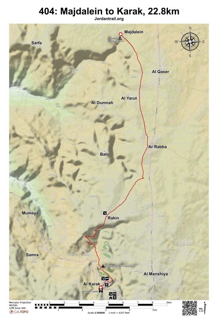
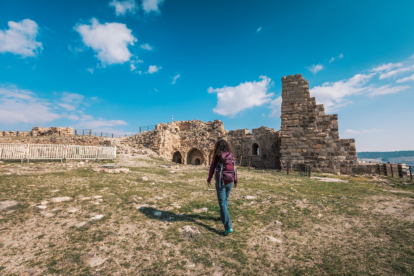
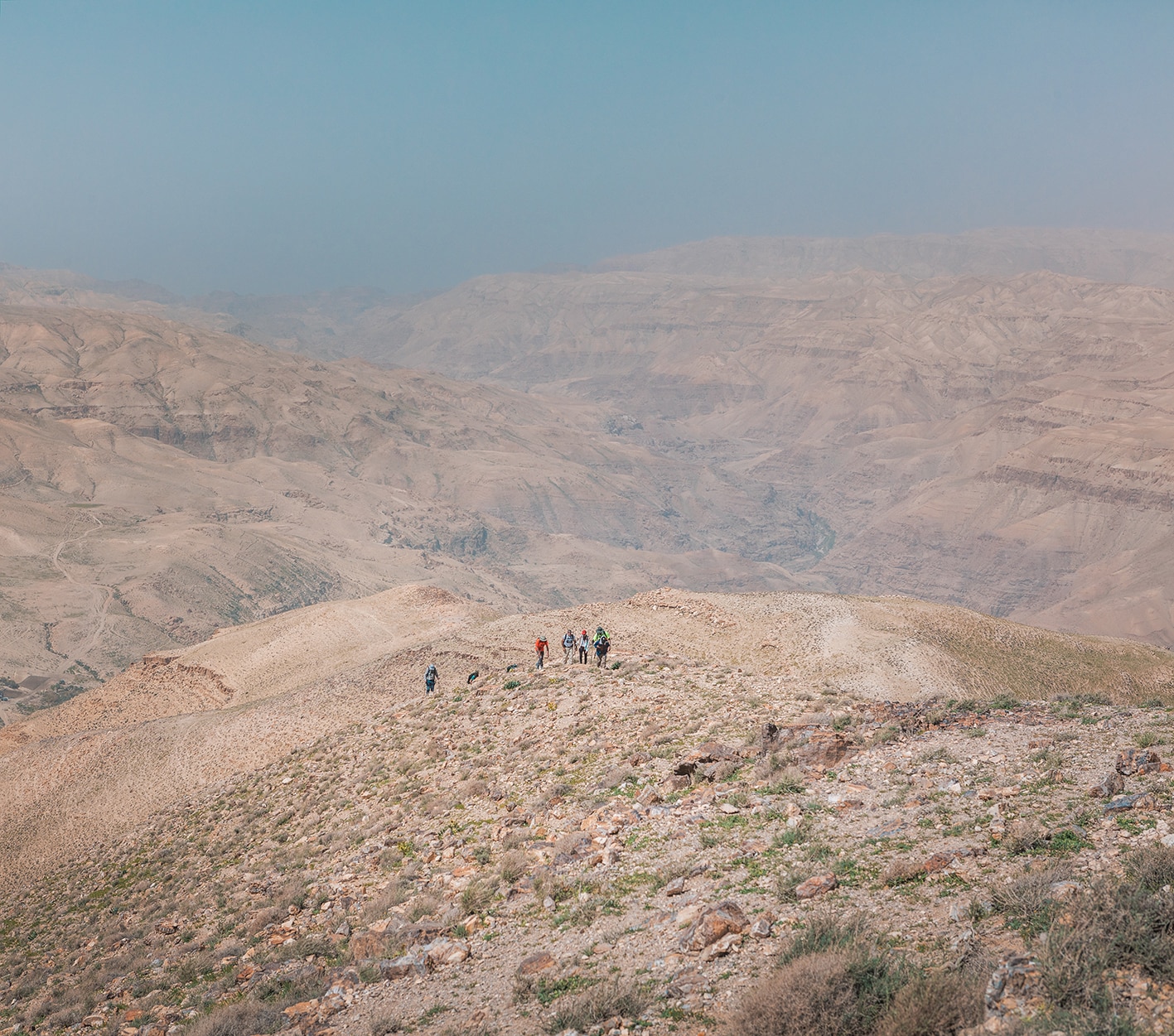
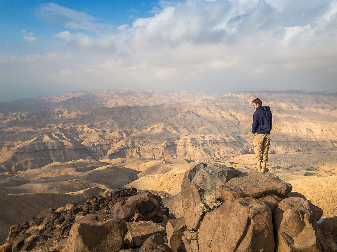
يوم سهل نسبيًا يمتد عبر الهضبة، غالبًا على طرق فرعية صغيرة، ويمر أحيانًا عبر أطراف القرى القريبة , حيث تتوفر المحال التجارية. وفي النهاية تصل إلى قرية راكين التي تضم محالًا تجارية ومقهى. من هناك ينحدر المسار برفق نحو وادي الطواحين، الذي يمنحك إطلالات خلابة نحو الجنوب الشرقي باتجاه قلعة الكرك. بعدها يتابع مسار آخر نزوله ليدخلك إلى وادي الزيتون الصغير ولكن المدهش، مباشرة أسفل قلعة الكرك. وبعد عبور الوادي (الذي يكون جافًا غالبًا)، تسلك مسارًا جيدًا يصعد بك إلى الطريق الرئيسي لتصل إلى باب المسيحيين ومقبرة القلعة، حيث تقودك الدرجات إلى البلدة القديمة. ومن هناك، تتابع الطرق صعودًا مرورًا بالمحال التجارية والمقاهي حتى تصل إلى الساحة الملاصقة للقلعة الرئيسية، حيث تنتظرك المحال والمقاهي والفنادق.

وسائل النقل
  • تغادر الحافلات من المجمّع الجنوبي في عمّان (جامعة مؤتة) باتجاه الكرك. كما تنطلق الحافلات الصغيرة من الجهة الشرقية للمدينة القديمة في الكرك نحو المجمّع، متجهة في المسار الجنوبي.
  • من الكرك يمكنك استقلال سيارة أجرة للوصول إلى نقاط أخرى على هذه المرحلة.
جهات الاتصال المحلية / أماكن الإقامة
  • بيت الأحمد, بيت ضيافة, أماني البشابشه: 962772034933+, آيات البشابشة: 962795643171+, ختم سجل الدرب: الكرك
  • فندق القيروان, معاوية أبو الفيلات: 962795250216+, زيد أبو الفيلات, 962795706701+, ختم سجل الدرب: الكرك
  • بيت الكرم, بيت ضيافة: 962798372030+
  • فندق أبراج القلعة, 96232354293+
  • مطعم عادل الحلبي, 96232352210+
أهم المعالم التي يمكن مشاهدتها
  • آثار قرية مجدلين القديمة.
  • الياروت.
  • الرّبة.
  • راكين.
  • قلعة الكرك.
  • قلعة المدرسة.
الطعام والماء

الطعام:

  • تُباع المواد الغذائية في المحال والمطاعم المنتشرة بالقرى الواقعة على طول المسار، مثل: الياروت، الربّة، فقوع، راكين، والكرك.
  • تُعد الكرك مدينة متكاملة الخدمات، حيث تتوفر فيها المطاعم والصرافات الآلية وغيرها.
    • من المطاعم المميزة: مطعم عادل الحلبي السوري في شارع الملك حسين، بالقرب من القلعة (هاتف: ‎+962 3 235 2210).

الماء:

  • تتوفر المياه في القرى كل ٣ كيلومترات تقريبًا على طول الطريق.
  • عند النبع الواقع أسفل الكرك، يُنصح بعدم شرب المياه لاحتمال تسربها من البلدة الواقعة فوقه.
النصائح والسلامة العامة

النصائح:

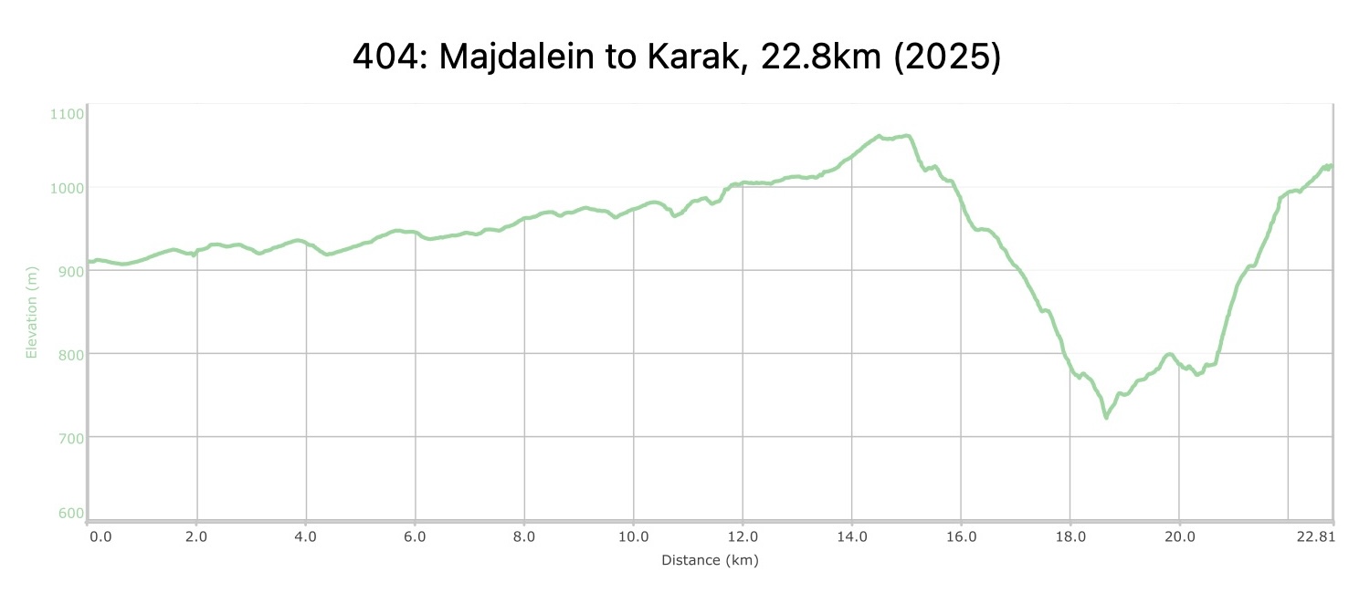
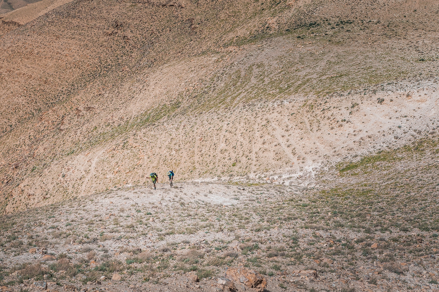
  • معظم اليوم يتضمن سيرًا سهلاً على الطرق. بعد قرية راكين، ينحدر المسار بمركبات الدفع الرباعي نزولاً إلى الوادي، ثم يعود صعودًا إلى الكرك عبر مسارات متنوعة، بعضها شديد الانحدار في نهاية المرحلة. أحد مقاطع المسار قبل الكرك يمرّ عبر شلال جاف يحتوي على جزء خطير بأرضية غير مستقرة. هذا الجزء متآكل ومكشوف، ومن المرجّح أن يتآكل أكثر مع الوقت. تعمل جمعية درب الأردن على معالجة الوضع، ويمكن التواصل معها لمعرفة حالته الراهنة. إذا كنت تخشى بشدة المسارات الزلقة أو المرتفعات، يُفضّل التفكير بتجاوز هذا الجزء.
  • يمكنك التفكير بتجاوز مقاطع الطرق إذا كان وقتك قصيرًا ، إذ تتوفر حافلات صغيرة كثيرة على المسار بين مجدلين والكرك.

السلامة العامة:

  • الحواف المكشوفة – في الصعود الأخير نحو الكرك، بعض المسارات شديدة الانحدار، وأحد مقاطع المسار يمرّ عبر شلال جاف يحتوي على جزء خطير قد يُجبر بعض المتنزهين على التراجع. هذا الجزء متآكل ومكشوف، ومن المرجّح أن يتآكل أكثر مع الوقت. راجع قسم "النصائح" أعلاه.
  • مخاطر السيول – أثناء عبور وادي الكرك.
  • الأرضية غير ثابتة – الأرضية غير مستقرة عند المقطع المكشوف قرب الشلال الجاف قبل الكرك.

وسائل النقل الإقليمية

نحن لا نزال نجمع هذه المعلومات. هل لديك أي تفاصيل قد تكون مفيدة؟  شاركها معنا!

لمزيد من المعلومات حول وسائل النقل في الأردن، اضغط هنا.

The Jordan Trail is a newly established trail, and is not marked. It is therefore our strong recommendation that you hire a local guide for your safety as many sections are remote with limited water sources and at times no connectivity.
By downloading these maps/GPX you take full responsibility for their use and accuracy; Jordan Trail Association does not warrant the accuracy or completeness of the information, materials or the reliability of any maps as they provided AS IS without warranty of any kind, either express or implied, including but not limited to, fitness for a particular purpose, or non-infringement ;You acknowledge that any reliance on any such maps, shall be at your sole risk and responsibility as Hiking, backpacking, and other outdoor activities all have potential hazards involving risk of injury or death. Outdoor activities have inherent risks and you should ensure you have the skill level and abilities suitable for the activities in Jordan to partake in them and to take all precaution measures.  Check the data on Google Earth or other Apps or Programs before using them.  The Jordan Trail Association shall not be held responsible for any incidents that may occur during your participation in any activity and/or by using any of the maps/GPX.
AGREE
close-link