SECTION 404 :MAJDALEIN TO KARAK
-
HIKES IN THE REGION
-
DAY 4: MAJDALEIN TO AL-KARAK
-
Distance: 22.8 km
-
Time: 8 hours
-
Physical Challenge: Moderate
-
Trail Challenge: Moderate
-
Waymarked: Yes
- Route Map
- Google Map
- GPS
- Elevation Chart
To download the GPS track, click icon


Tourism Police:
Hotline: 117777
What’s App: +962770992690
* When contacting Tourism Police for emergency identify that you are hiking the Jordan Trail, state your nationality, location and map name & number.
JTA office: +962 6 461 0999
(Working Hours: 9:00 a.m. to 5:00 p.m., Sunday- Thursday)
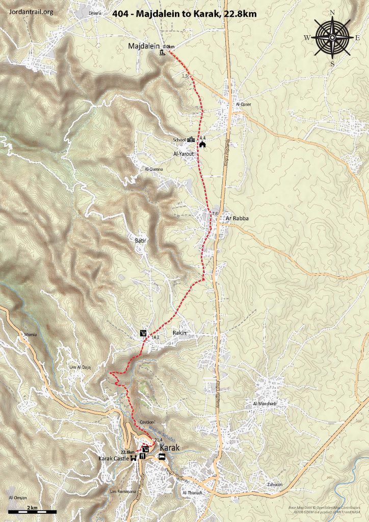
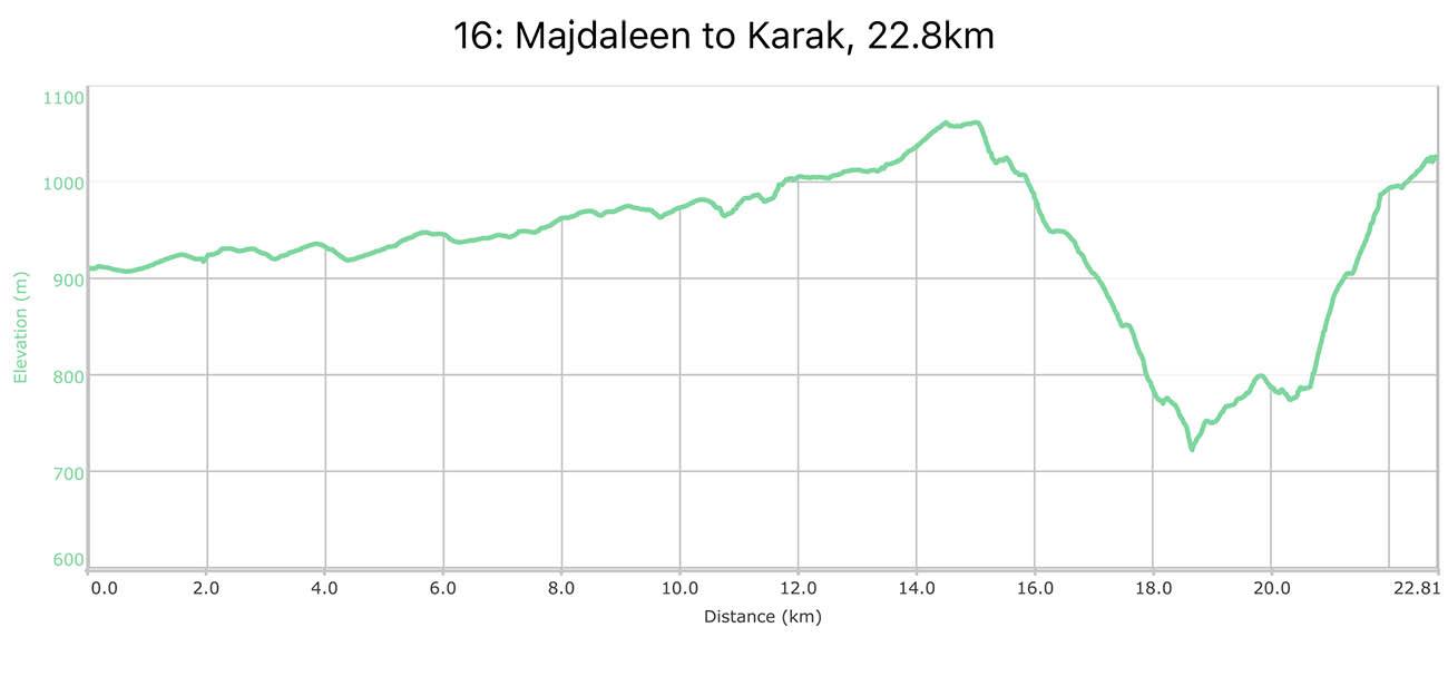
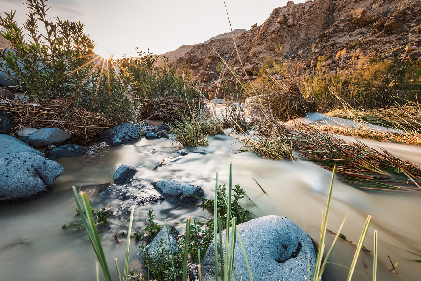
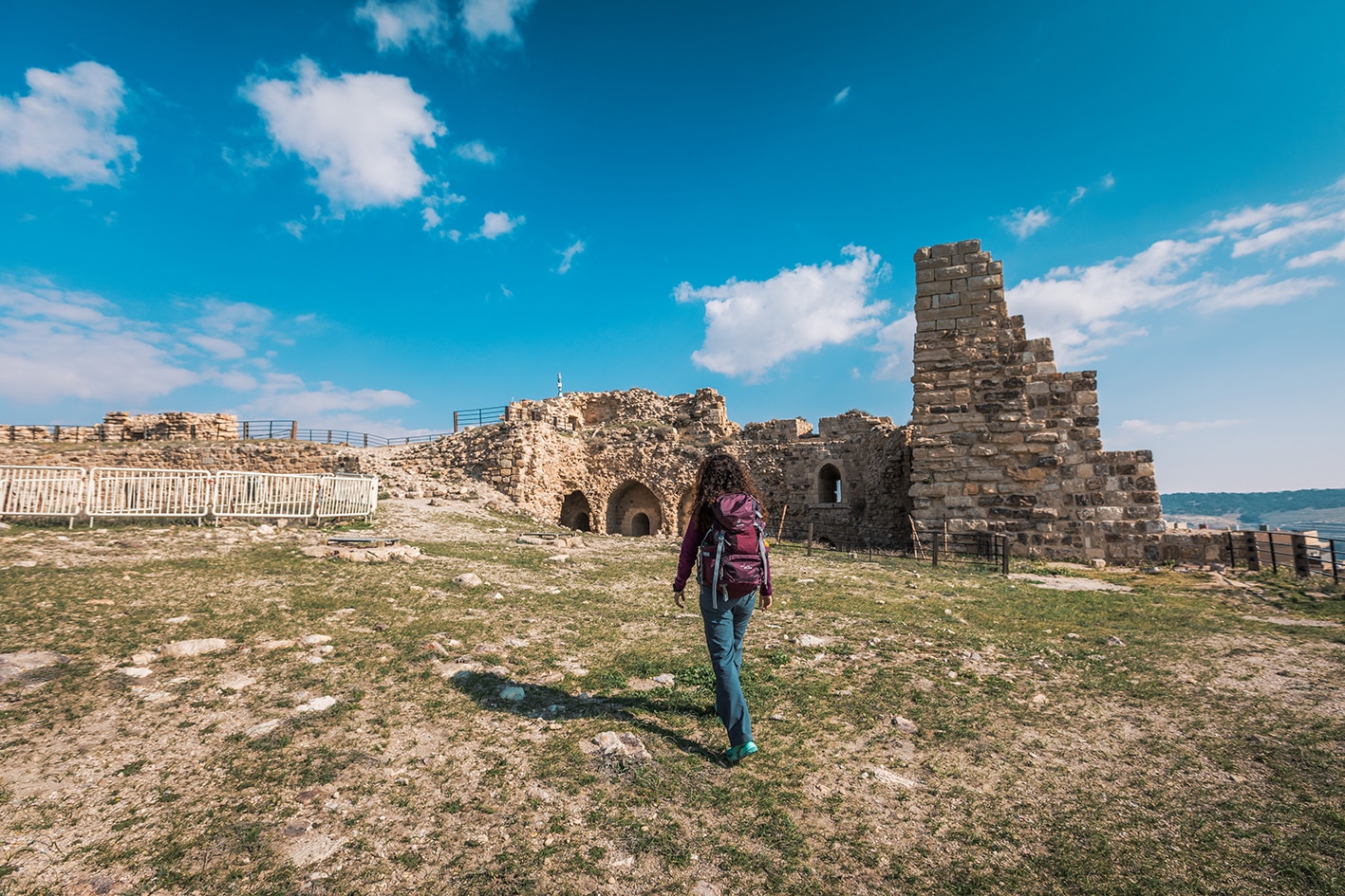
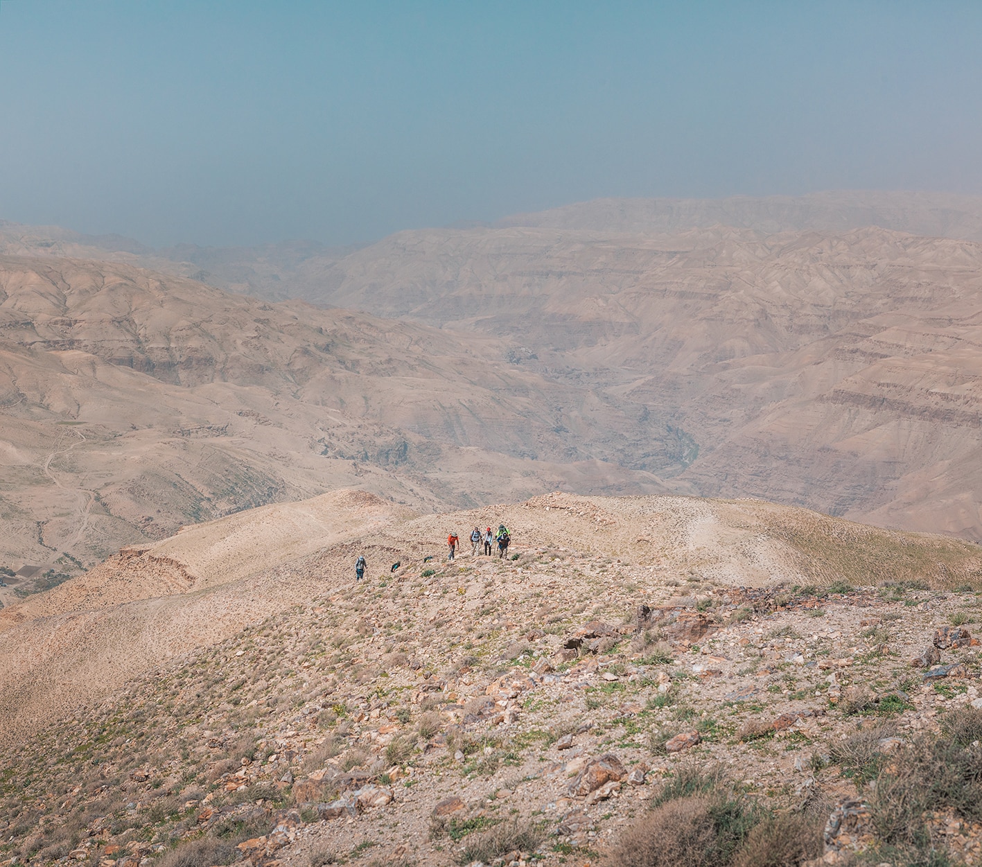
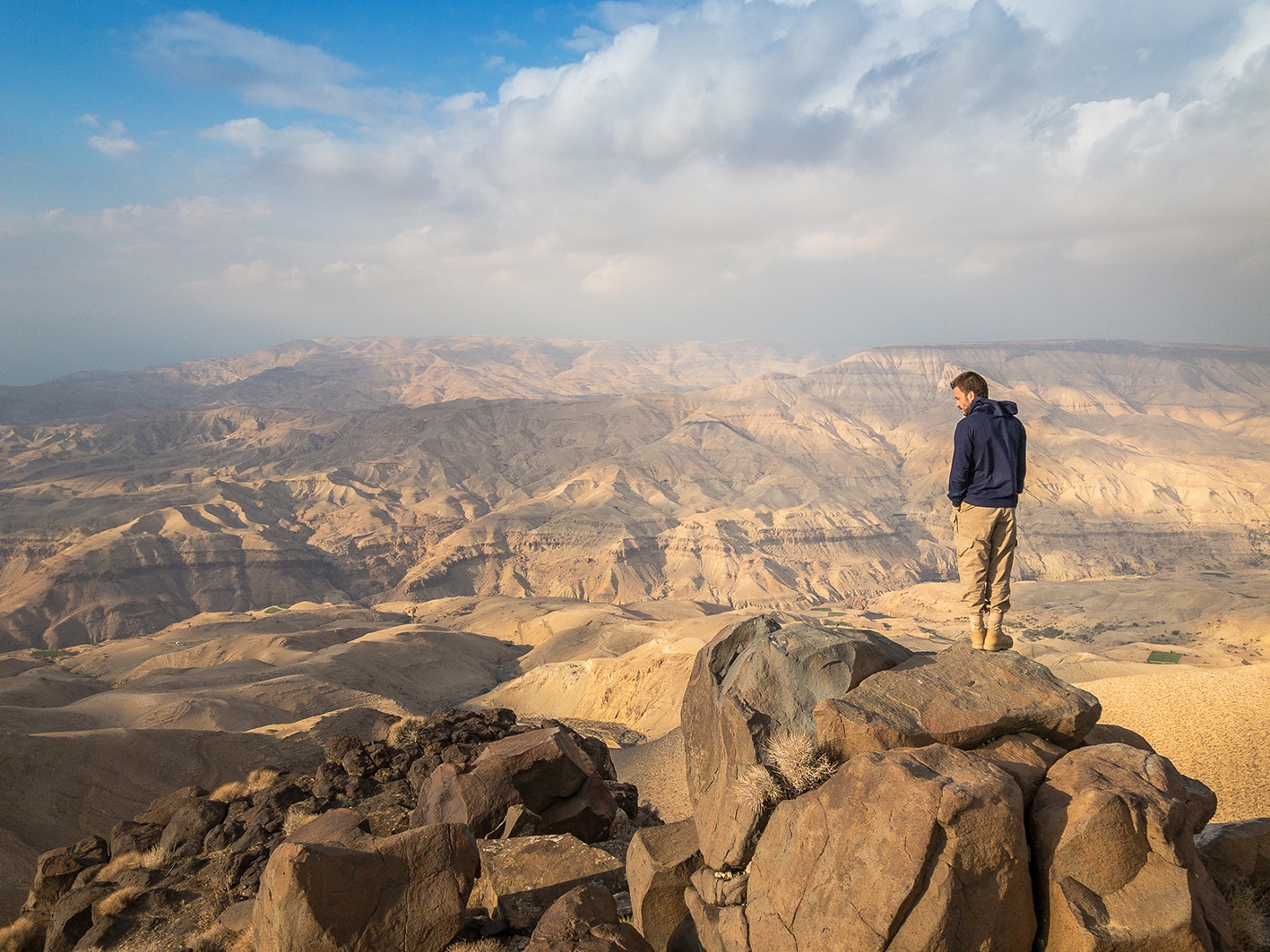
An easy day along the plateau usually on small roads, sometimes passing through the edges of villages not far from the King’s Highway (shops) and eventually reaching the village of Rakin (shops and café). A track then descends pleasantly into Wadi Tawaheen (good views SE to Kerak Castle), beyond which reach another track enters the small but impressive Wadi ez Zaiyatin directly below Kerak Castle. Once across the wadi (usually dry) follow a good track up to the main road, arriving opposite the castle’s Christian Gate and Cemetery, where steps lead up into the old town, then streets continue up past shops and cafés to the square adjacent to the main castle, (shops, cafés, hotels).
- Buses depart from the Amman’s south bus station (Mu’ta university) to Karak. Minibuses leave from east side of Karak’s old city to bus station (head in south-bound direction)
- From Karak, take a taxi to other points on this stage.
- Bait Al Jameed, Homestay, Amani Al Bashabsha: +962 772034933, Ayat Al Bashabsha: +962 795643171, JT Pass Stamp: Karak
- Al Qairwan Hotel, Moaweyah Abo Al-Fielat: +962 795250216, Zaid Abu Al- Failat: +962 795706701, JT Pass Stamp: Karak
- Beit Al Karam, Guest House: +962 798372030
- Towers Castle Hotel, +962 3 235 4293
- Adel Al Halabi Restaurant, +962 32352210
- Majdalein Village ruins.
- Al-Yarout
- Ar-Rabba
- Rakin
- Karak Castle.
- Al-Madrasa Tower (School Tower).
Food:
- Shops and restaurants sell food in villages along the spaced along the stage (Al-Yarout, ar-Rabba, Faqua, Rakin and Karak).
- Karak is a full service town with restaurants, ATM, etc.
- Notable Syrian restaurant: Adel Al Halabi Restaurant on King Hussein St., not far from castle (tel: +962 3 235 2210)
Water:
- Water is available at villages every 3km along way.
- At the spring just below Karak, it is recommended not to consume as seepage could occur from town above.
Tips:
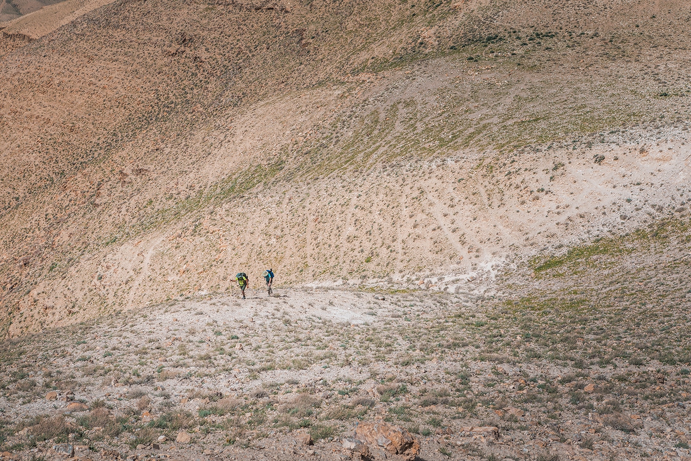
- Most of day involves easy walking on roads. After the village of Rakin, the path descends on 4×4 down into wadi, and then back up to Karak on variety of trails, some of which are very steep at end of the stage. One section of the footpath before Karak to passes a dry waterfall with a sketchy section with loose footing. This section is washed out and exposed, and will probably erode more. The JTA is working to address the situation, and can be contacted to determine its current status. If you are severely scared of slippery trails and heights, consider skipping this section.
- Consider skipping the roads sections if you’er short on time. Many minibuses run the route between Majdalein and Karak.
Safety Info:
- Exposed edges – On the final climb to Karak, some of the trails are very steep, and one section of footpath to pass a dry waterfall, which has a sketchy section that will turn some people around. This section is washed out and exposed, and will probably erode more. See “Tips” above.
- Flash flood dangers – crossing Wadi Karak
- Loose footing – Footing is loose at exposed section near the dry waterfall before Karak.
REGIONAL TRANSPORTATION
We’re still collecting this information. Do you know something that might be helpful? Share it with us!
For general information on transportation in Jordan, click here.


