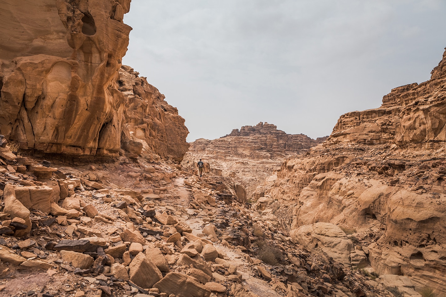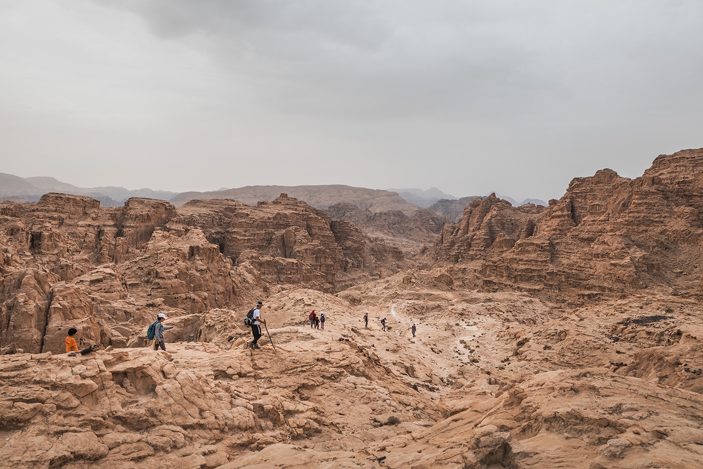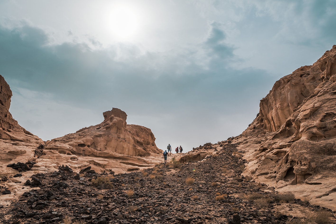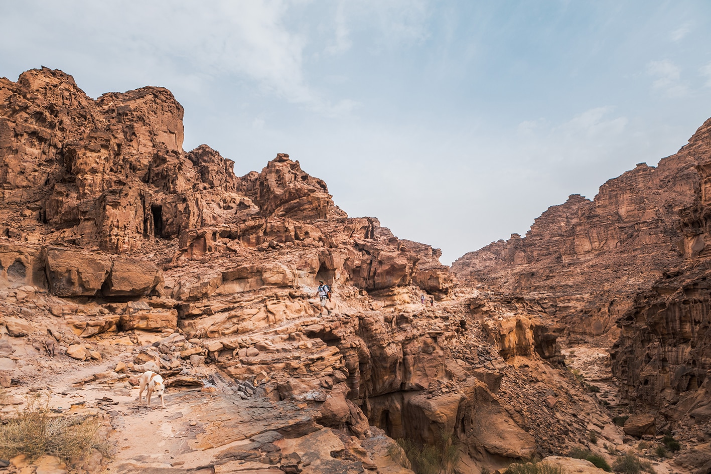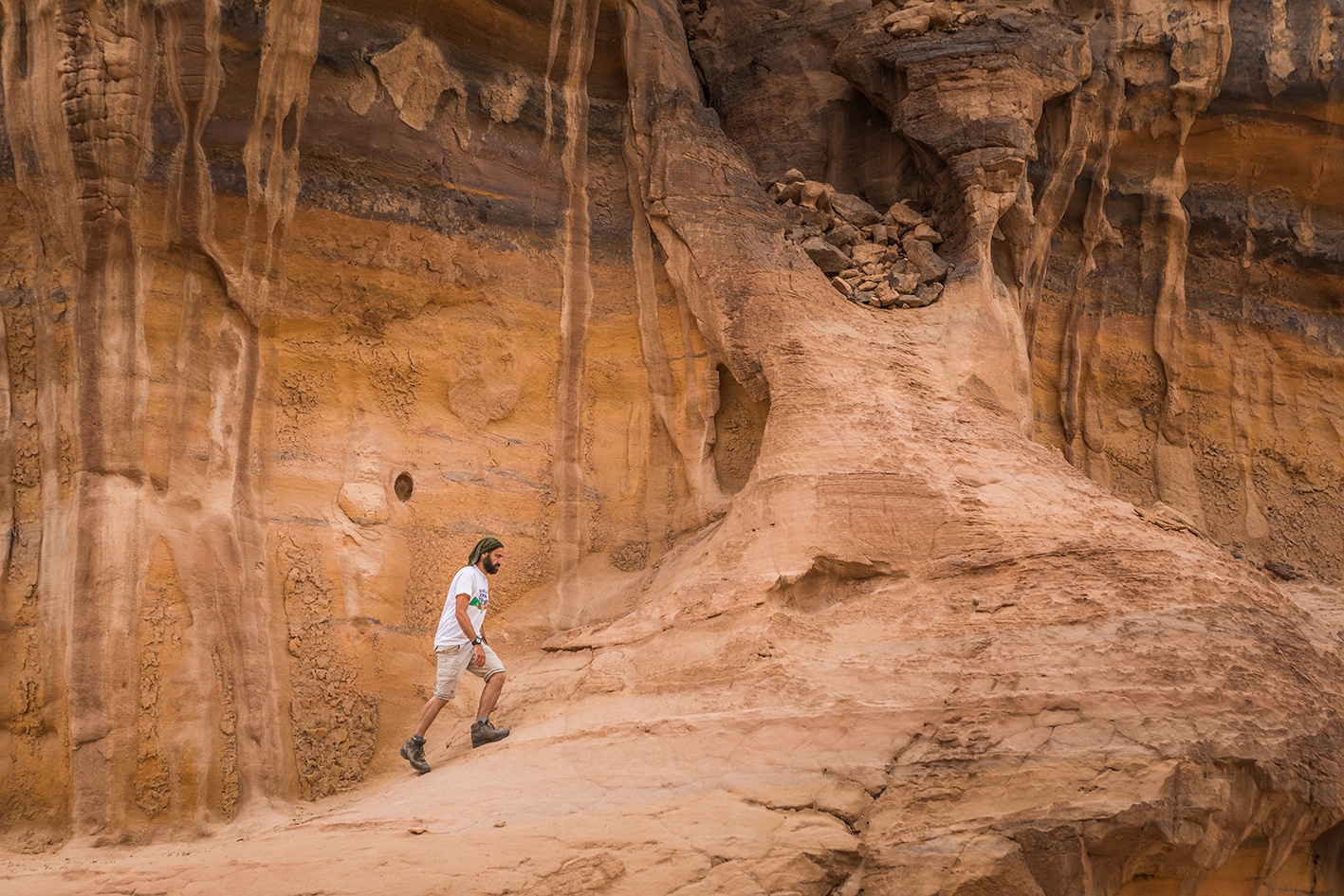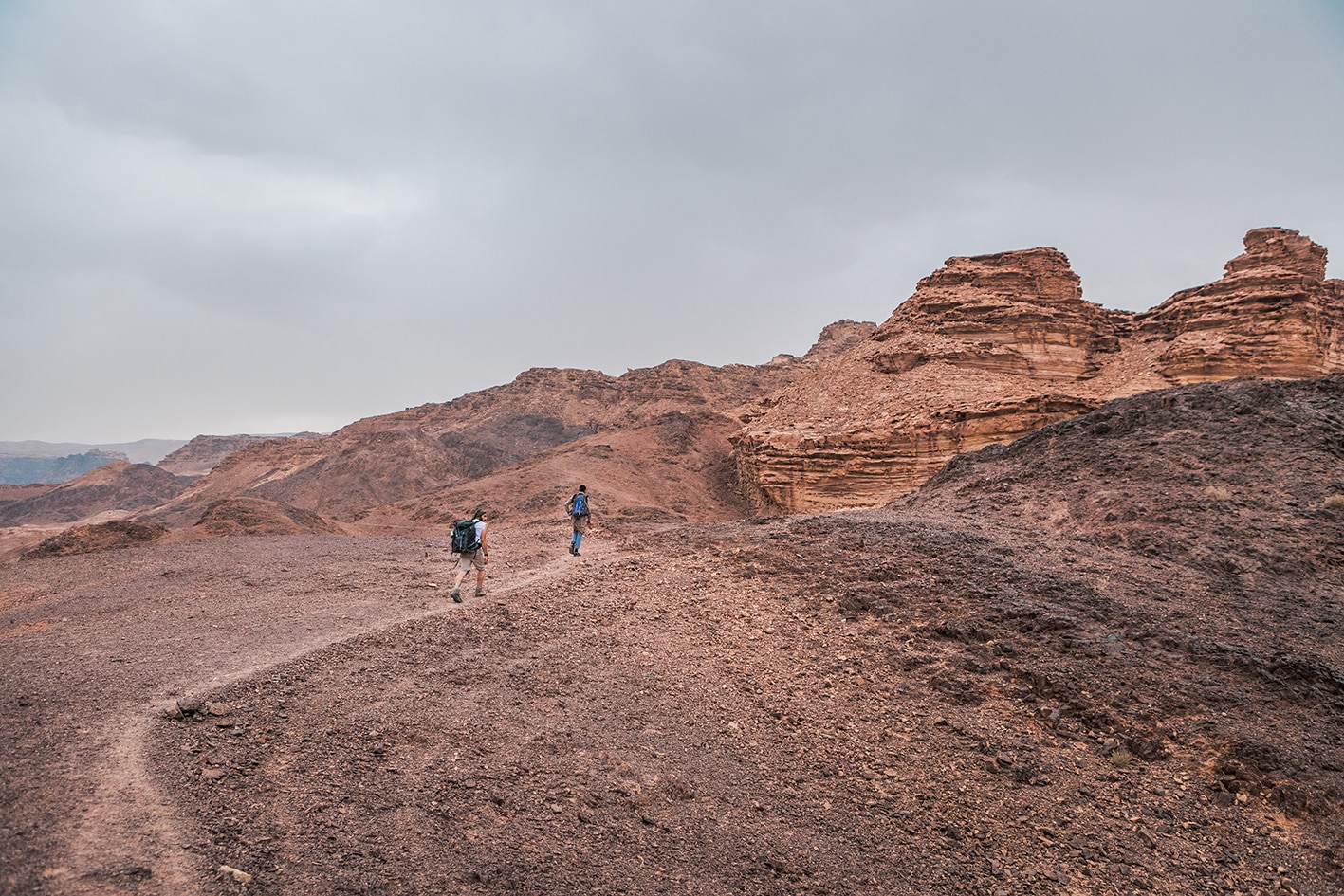


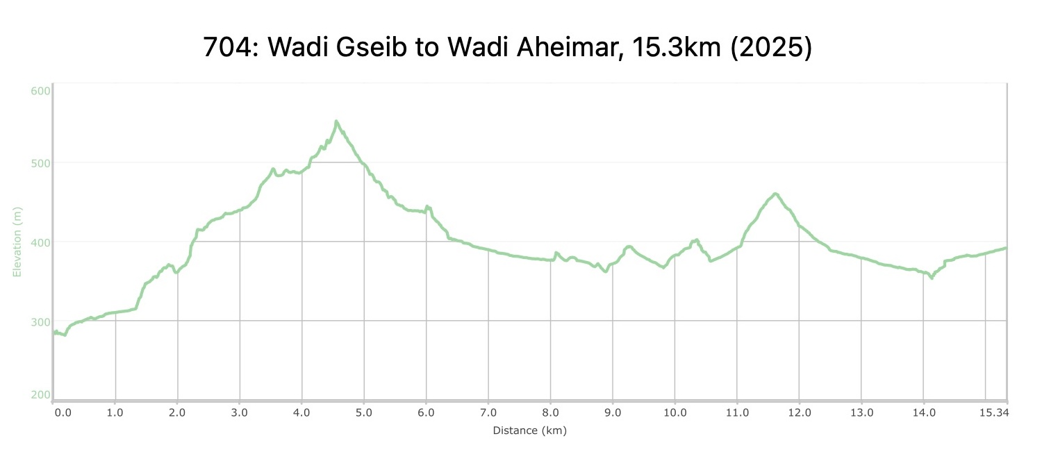
بعد أن تعيد تتبع خطواتك صعودًا في وادي قصيب لمسافة حوالي كيلومتر واحد، يتجه المسار مجددًا نحو الجبال باتجاه الجنوب الشرقي لمسافة تقارب 3 كيلومترات عبر وادي جميل من الحجر الرملي الملون، ثم ينزل عبر منحدرات سهلة، ويستمر باتجاه الجنوب ثم الجنوب الغربي عبر منطقة رملية واسعة حتى يصل إلى وادي الصيق الواسع. بعد ذلك يرتفع المسار ويعبر مساحة من الكثبان الرملية، ثم ينزل إلى وادي الركية الذي يلتقي بوادي أحيمر على بعد كيلومتر واحد إلى الجنوب الغربي. يوجد موقع تخييم جميل مع كثبان رملية على الجانب الغربي من وادي الركية، وأبعد جنوبًا في وادي أحيمر.
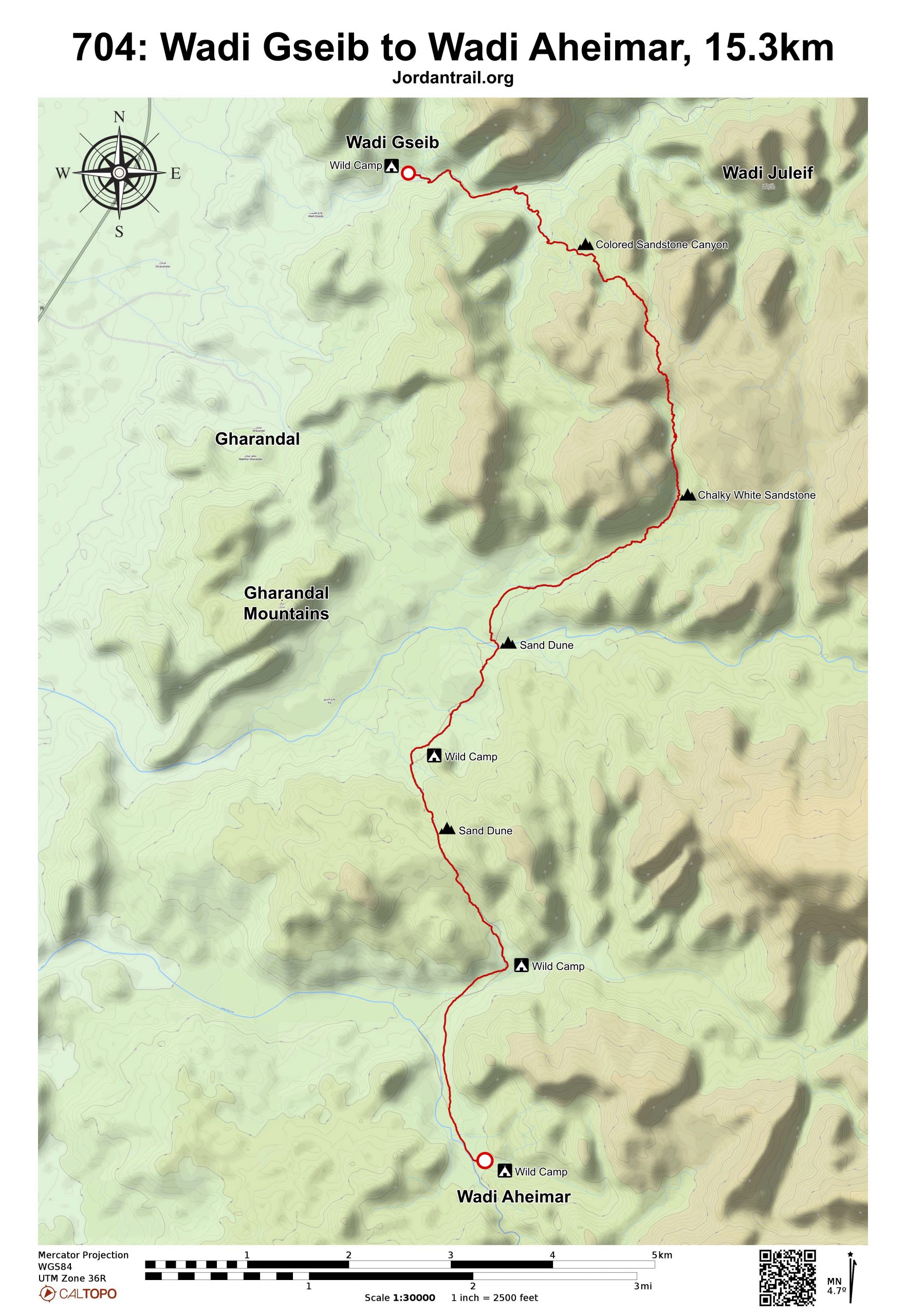
لتحميل مسار GPS، اضغط هنا.
The Jordan Trail is a newly established trail, and is not marked. It is therefore our strong recommendation that you hire a local guide for your safety as many sections are remote with limited water sources and at times no connectivity.
By downloading these maps/GPX you take full responsibility for their use and accuracy; Jordan Trail Association does not warrant the accuracy or completeness of the information, materials or the reliability of any maps as they provided AS IS without warranty of any kind, either express or implied, including but not limited to, fitness for a particular purpose, or non-infringement ;You acknowledge that any reliance on any such maps, shall be at your sole risk and responsibility as Hiking, backpacking, and other outdoor activities all have potential hazards involving risk of injury or death. Outdoor activities have inherent risks and you should ensure you have the skill level and abilities suitable for the activities in Jordan to partake in them and to take all precaution measures. Check the data on Google Earth or other Apps or Programs before using them. The Jordan Trail Association shall not be held responsible for any incidents that may occur during your participation in any activity and/or by using any of the maps/GPX.