Search
Close this search box.

القسم 101: أم قيس إلى زقلاب

  • مسارات المشي في المنطقة

  • اليوم الأول: أم قيس إلى زقلاب

  • المسافة: 24.4 كيلومتر

  • الوقت: 8 ساعات

  • التحديات الجسدية: صعب

  • تحديات المسار: صعب

  • التحديات الكلية: صعب

  • التحديد على المسار: نعم

To download the Jordan Trail GPS tracks, click here

The Jordan Trail is a newly established trail, and is not marked. It is therefore our strong recommendation that you hire a local guide for your safety as many sections are remote with limited water sources and at times no connectivity.
By downloading these maps/GPX you take full responsibility for their use and accuracy; Jordan Trail Association does not warrant the accuracy or completeness of the information, materials or the reliability of any maps as they provided AS IS without warranty of any kind, either express or implied, including but not limited to, fitness for a particular purpose, or non-infringement ;You acknowledge that any reliance on any such maps, shall be at your sole risk and responsibility as Hiking, backpacking, and other outdoor activities all have potential hazards involving risk of injury or death. Outdoor activities have inherent risks and you should ensure you have the skill level and abilities suitable for the activities in Jordan to partake in them and to take all precaution measures.  Check the data on Google Earth or other Apps or Programs before using them.  The Jordan Trail Association shall not be held responsible for any incidents that may occur during your participation in any activity and/or by using any of the maps/GPX.
AGREE
close-link

أنقر هنا

The Jordan Trail is a newly established trail, and is not marked. It is therefore our strong recommendation that you hire a local guide for your safety as many sections are remote with limited water sources and at times no connectivity.
By downloading these maps/GPX you take full responsibility for their use and accuracy; Jordan Trail Association does not warrant the accuracy or completeness of the information, materials or the reliability of any maps as they provided AS IS without warranty of any kind, either express or implied, including but not limited to, fitness for a particular purpose, or non-infringement ;You acknowledge that any reliance on any such maps, shall be at your sole risk and responsibility as Hiking, backpacking, and other outdoor activities all have potential hazards involving risk of injury or death. Outdoor activities have inherent risks and you should ensure you have the skill level and abilities suitable for the activities in Jordan to partake in them and to take all precaution measures.  Check the data on Google Earth or other Apps or Programs before using them.  The Jordan Trail Association shall not be held responsible for any incidents that may occur during your participation in any activity and/or by using any of the maps/GPX.
AGREE
close-link
لتحميل الخريطة
أرقام مهمة

الشرطة السياحية:

الخط الساخن: 117777
واتساب: +962770992690

*في حال التواصل مع شرطة السياحة في حالة طارئة، يُرجى تحديد أنك تسير على درب الأردن، وذكر جنسيتك، موقعك الحالي، واسم ورقم الخريطة.

مكتب جمعية درب الأردن: +962 6 461 0999

(ساعات العمل: من 9:00 صباحًا حتى 5:00 مساءً، من الأحد إلى الخميس)

معلومات عامة

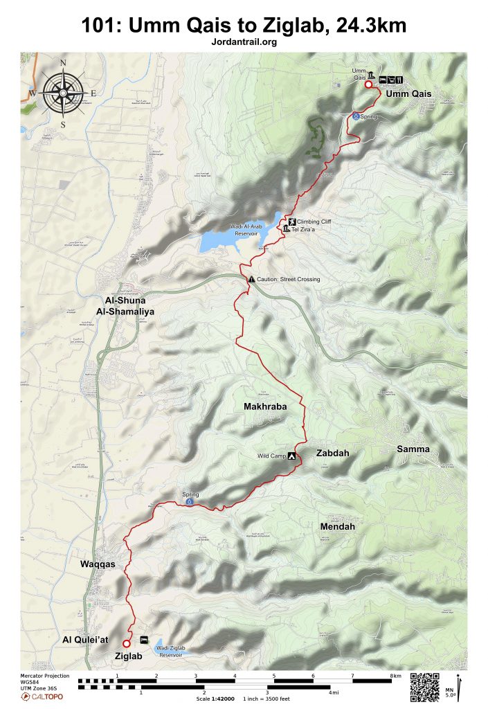
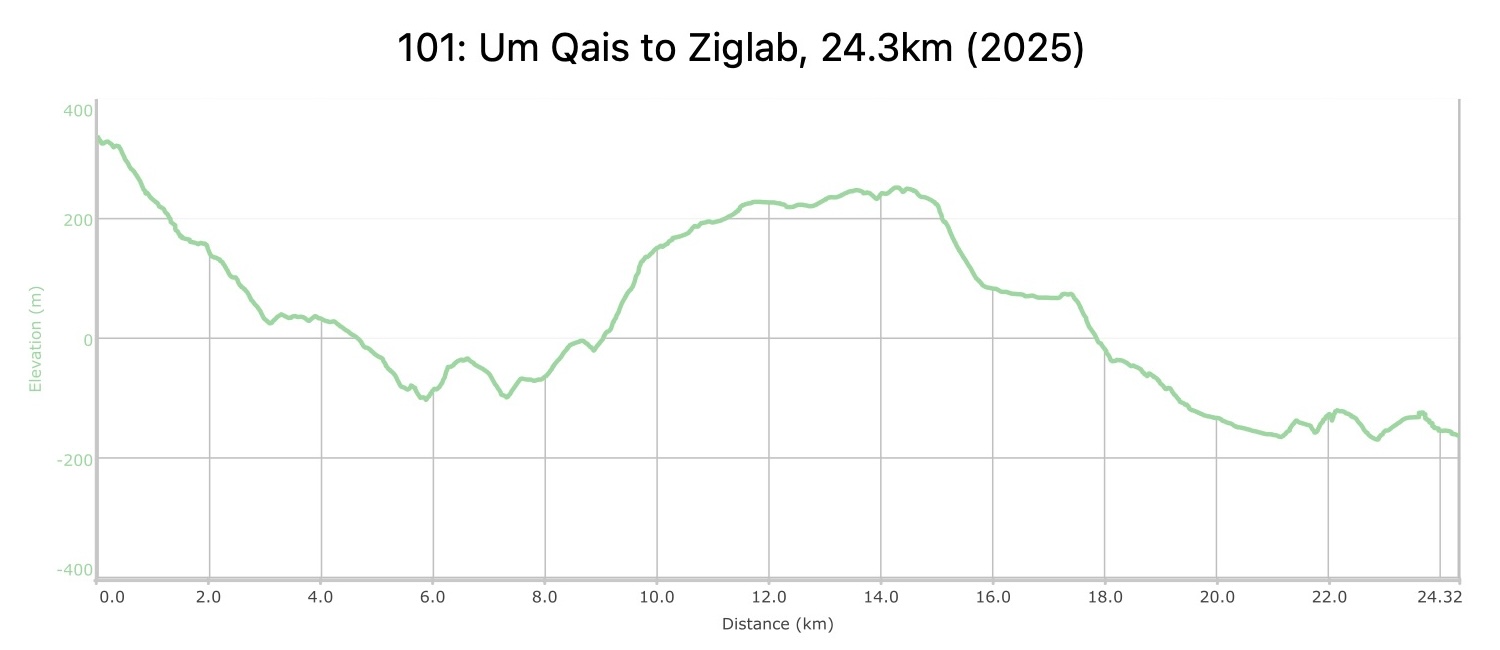
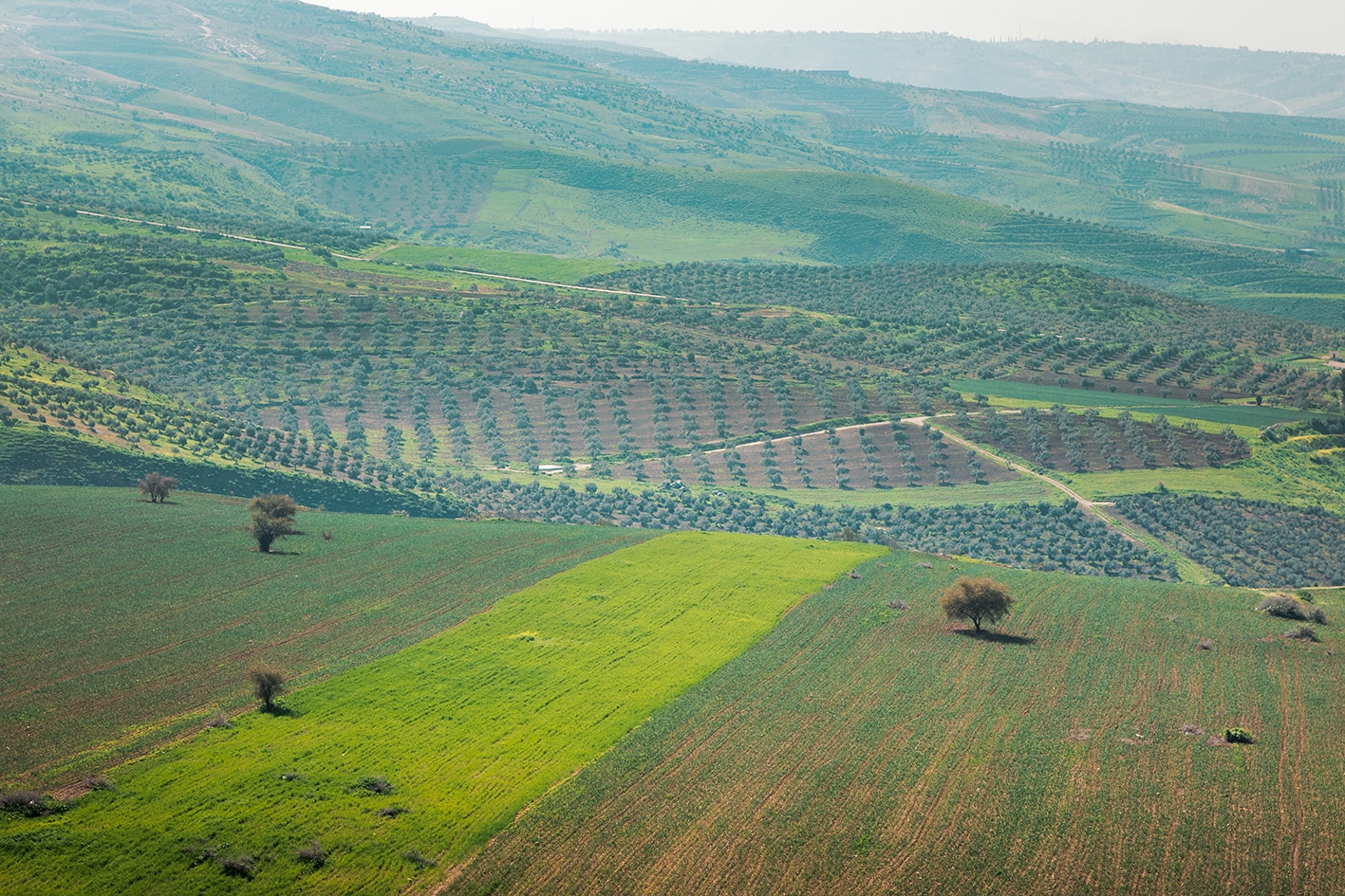
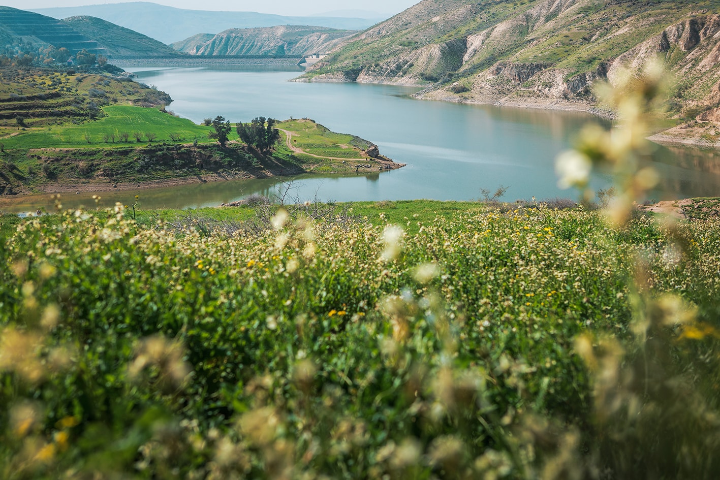
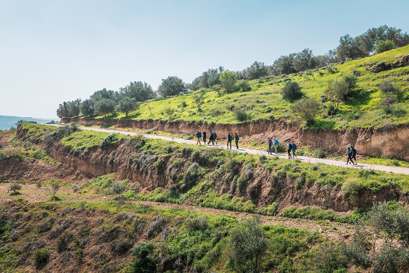
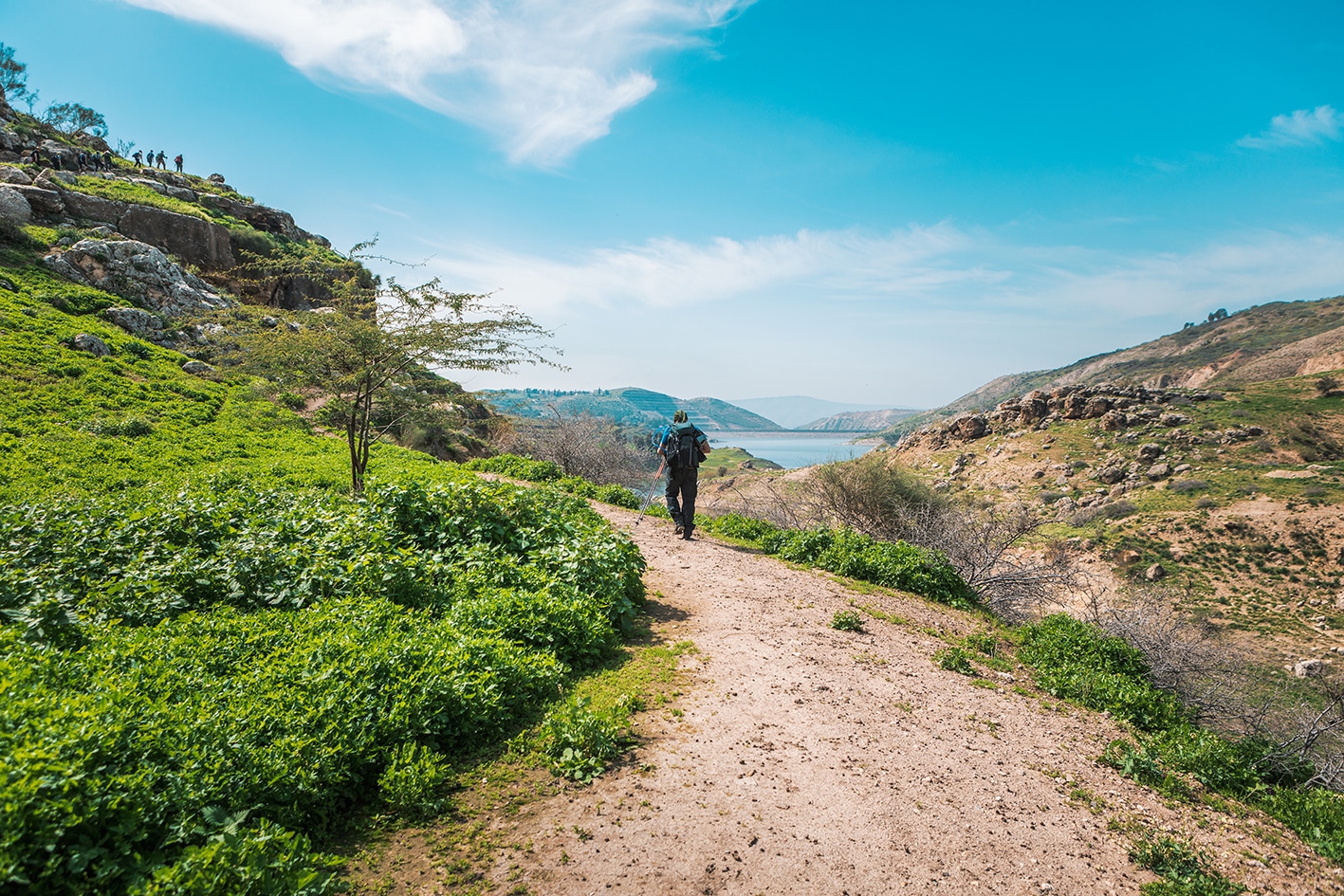
إنه اليوم الأول، ومن الجميل أن تبدأ الرحلة بانحدار لطيف. ننطلق من أطلال مدينة الديكابولس البازلتية في أم قيس والمطلة على بحيرة طبريا، ونتجه نزولًا نحو سد العرب، وصولًا إلى تل مزرعة عند حافة المياه. بعد ذلك، نسير بمحاذاة الجانب الجنوبي من السد، ثم نصعد التلال لنصل إلى سهل زراعي خصب وقرية زبدة. بعد القرية، ننحدر مرة أخرى ونتبع وادي ضرّابة وقصيبة باتجاه الغرب، ثم نتجه جنوبًا ونعبر وادي الطيبة وصولًا إلى بحيرة زقلاب. إنها رحلة مشي جميلة، وتكون رائعة بشكل خاص في فصل الربيع.

وسائل النقل

ترتبط عجلون بخطوط حافلات مع عمّان وجرش وإربد.

جهات الاتصال المحلية / أماكن الإقامة

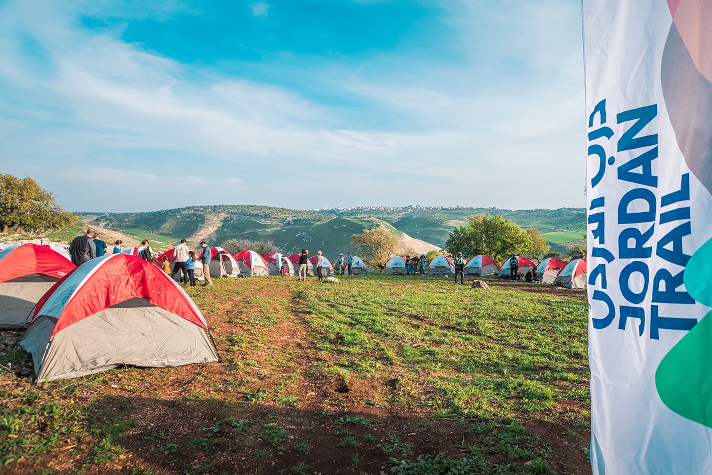
التخييم البري وبيت الضيافة: معسكر و بيت إستضافة فيلوديموس, أحمد العمري وروان حسبان, 962772426768+ JT Pass Stamp Um Qais

التخييم البري وبيت الضيافة: ابراهيم جوابرة و ثروت جوابرة, 96277227509+

التخييم البري: رعد الثييب, 962791541354+

التخييم البري وبيت الضيافة: فرج أبو العوش, 962785285284+ JT Pass Stamp Um Qais

بيت الضيافة: بيت البركة, للحجز : 962776667660+ (https://barakadestinations.com/)

بيت الضيافة : جدارا لتأجير الغرف, ابراهيم الروسان, 962795021917+

أهم المعالم التي يمكن مشاهدتها
  • آثار أم قيس الرومانية.
  • سد وادي العرب.
  • تل زرعة وتسلق الصخور.
  • زبدة ومخربا.
  • الخنازير البرية.
الطعام والماء

الطعام:

  • مطاعم في منطقة أم قيس.
  • محلات تجارية في أم قيس, مرشد, مخربا, و وقاس.
  • تتوفر الوجبات في منتزه شرحبيل بن حسنة البيئي.

الماء:

  • القرى والمتاجر على طول الطريق.
  • نبعة أم قيس: يُنصح بعدم شرب مياهها بسبب جريان المياه السطحية واختلاطها بمصادر غير موثوقة.
  • نبعة وادي مكرب: كانت تجري وقت إعداد هذا الدليل (يجب تنقية المياه قبل الشرب، وقد تحتاج إلى الحفر للوصول إليها).
النصائح والسلامة العامة

النصائح:

  • كن مستعدًا لصعود طويل وحاد في منتصف اليوم.
  • النصف السفلي من المسار قد يصبح حارًا جدًا في وقت لاحق من اليوم، خصوصًا خارج فصل الشتاء.
  • المسار محدد بعلامات ويُستخدم بشكل متكرر.

السلامة العامة:

  • حواف مكشوفة – جزء قصير وثانوي بعد عين أم قيس.
  • أرض غير ثابتة – في النزول من أم قيس في البداية، وفي وادي قسيب.
  • الحيوانات – توجد كلاب رعوية في بعض الأماكن، وغالبًا ما يكون أصحابها مسيطرين عليها بشكل جيد.
  • الجفاف/الإرهاق الحراري – احرص على اتخاذ الاحتياطات اللازمة، خاصة في القسم الأدنى والأكثر حرارة بعد قرية زبدة.

The Jordan Trail is a newly established trail, and is not marked. It is therefore our strong recommendation that you hire a local guide for your safety as many sections are remote with limited water sources and at times no connectivity.
By downloading these maps/GPX you take full responsibility for their use and accuracy; Jordan Trail Association does not warrant the accuracy or completeness of the information, materials or the reliability of any maps as they provided AS IS without warranty of any kind, either express or implied, including but not limited to, fitness for a particular purpose, or non-infringement ;You acknowledge that any reliance on any such maps, shall be at your sole risk and responsibility as Hiking, backpacking, and other outdoor activities all have potential hazards involving risk of injury or death. Outdoor activities have inherent risks and you should ensure you have the skill level and abilities suitable for the activities in Jordan to partake in them and to take all precaution measures.  Check the data on Google Earth or other Apps or Programs before using them.  The Jordan Trail Association shall not be held responsible for any incidents that may occur during your participation in any activity and/or by using any of the maps/GPX.
AGREE
close-link