Search
Close this search box.

SECTION 101 : UM QAIS TO ZIGLAB

  • HIKES IN THE REGION

  • DAY 1: UM QAIS TO ZIGLAB

  • Distance: 25.5 km

  • Time: 8 hours

  • Physical Challenge: Difficult

  • Trail Challenge: Difficult

  • Waymarked: Yes

To download the Jordan Trail GPS tracks, click here

The Jordan Trail is a newly established trail, and is not marked. It is therefore our strong recommendation that you hire a local guide for your safety as many sections are remote with limited water sources and at times no connectivity.
By downloading these maps/GPX you take full responsibility for their use and accuracy; Jordan Trail Association does not warrant the accuracy or completeness of the information, materials or the reliability of any maps as they provided AS IS without warranty of any kind, either express or implied, including but not limited to, fitness for a particular purpose, or non-infringement ;You acknowledge that any reliance on any such maps, shall be at your sole risk and responsibility as Hiking, backpacking, and other outdoor activities all have potential hazards involving risk of injury or death. Outdoor activities have inherent risks and you should ensure you have the skill level and abilities suitable for the activities in Jordan to partake in them and to take all precaution measures.  Check the data on Google Earth or other Apps or Programs before using them.  The Jordan Trail Association shall not be held responsible for any incidents that may occur during your participation in any activity and/or by using any of the maps/GPX.
AGREE
close-link

Click icon

The Jordan Trail is a newly established trail, and is not marked. It is therefore our strong recommendation that you hire a local guide for your safety as many sections are remote with limited water sources and at times no connectivity.
By downloading these maps/GPX you take full responsibility for their use and accuracy; Jordan Trail Association does not warrant the accuracy or completeness of the information, materials or the reliability of any maps as they provided AS IS without warranty of any kind, either express or implied, including but not limited to, fitness for a particular purpose, or non-infringement ;You acknowledge that any reliance on any such maps, shall be at your sole risk and responsibility as Hiking, backpacking, and other outdoor activities all have potential hazards involving risk of injury or death. Outdoor activities have inherent risks and you should ensure you have the skill level and abilities suitable for the activities in Jordan to partake in them and to take all precaution measures.  Check the data on Google Earth or other Apps or Programs before using them.  The Jordan Trail Association shall not be held responsible for any incidents that may occur during your participation in any activity and/or by using any of the maps/GPX.
AGREE
close-link
to download the map
IMPORTANT NUMBERS

Tourism Police:

Hotline: 117777
What’s App: +962 7 7099 1814

* When contacting Tourism Police for emergency identify that you are hiking the Jordan Trail, state your nationality, location and map name & number.

JTA office: +962 6 461 0999

(Working Hours: 9:00 a.m. to 5:00 p.m., Sunday- Thursday)

BASIC INFO

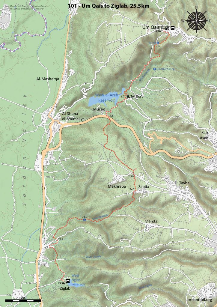
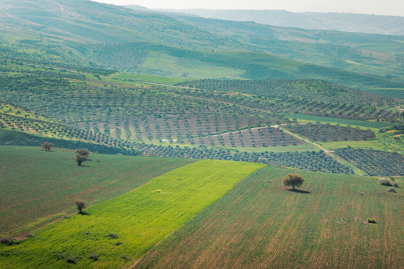
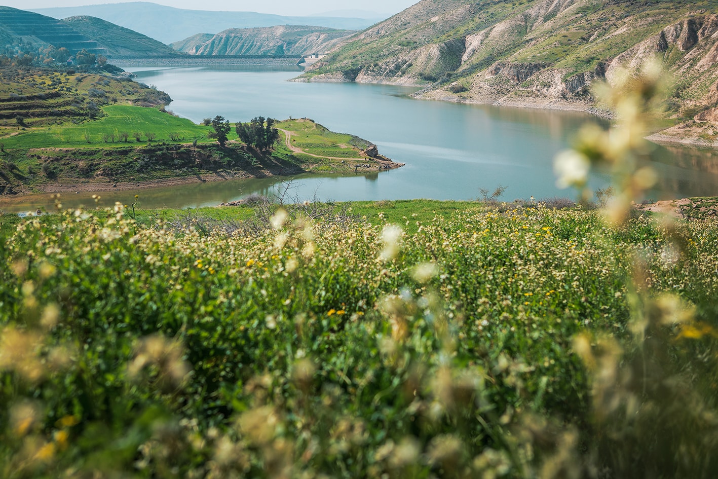
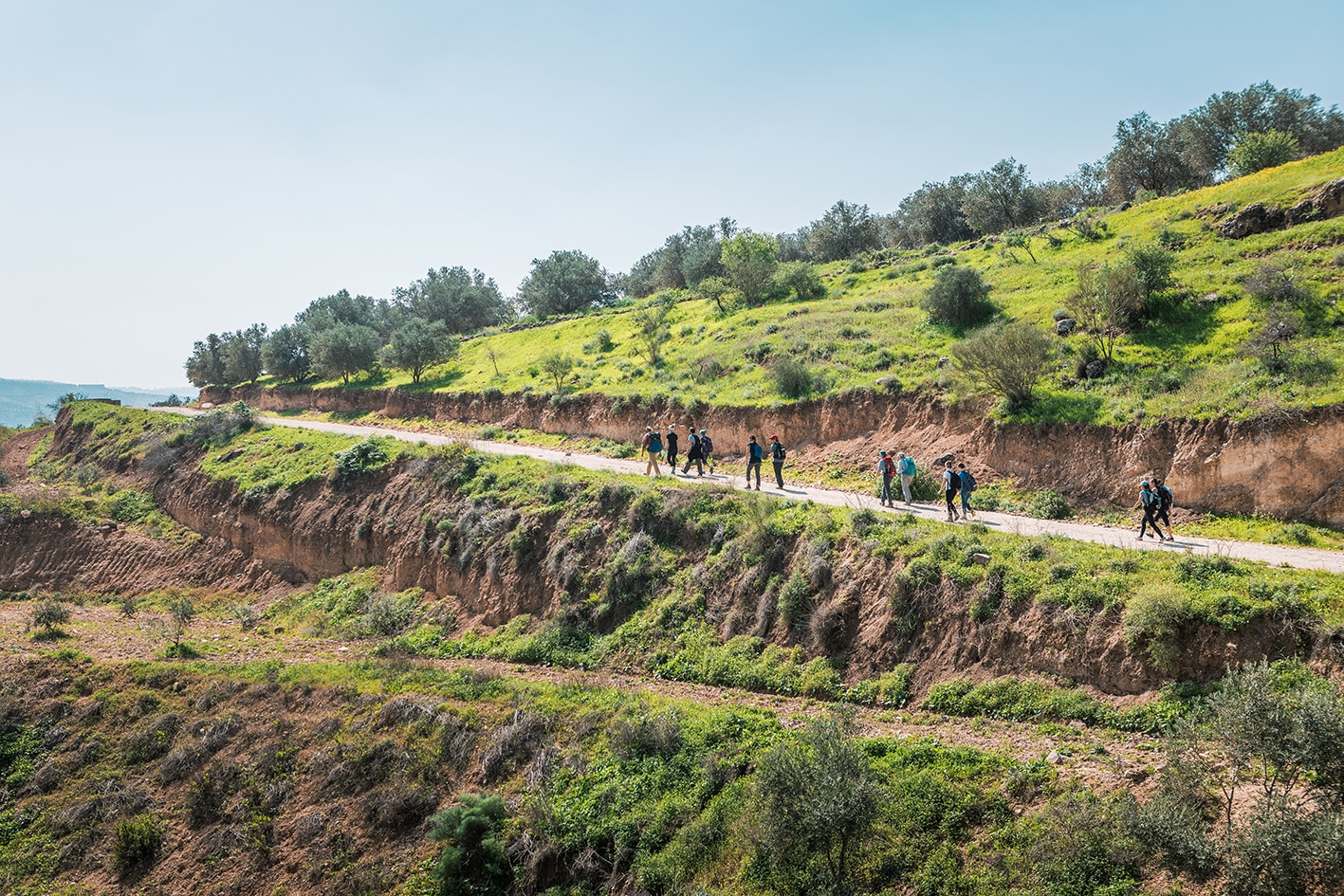
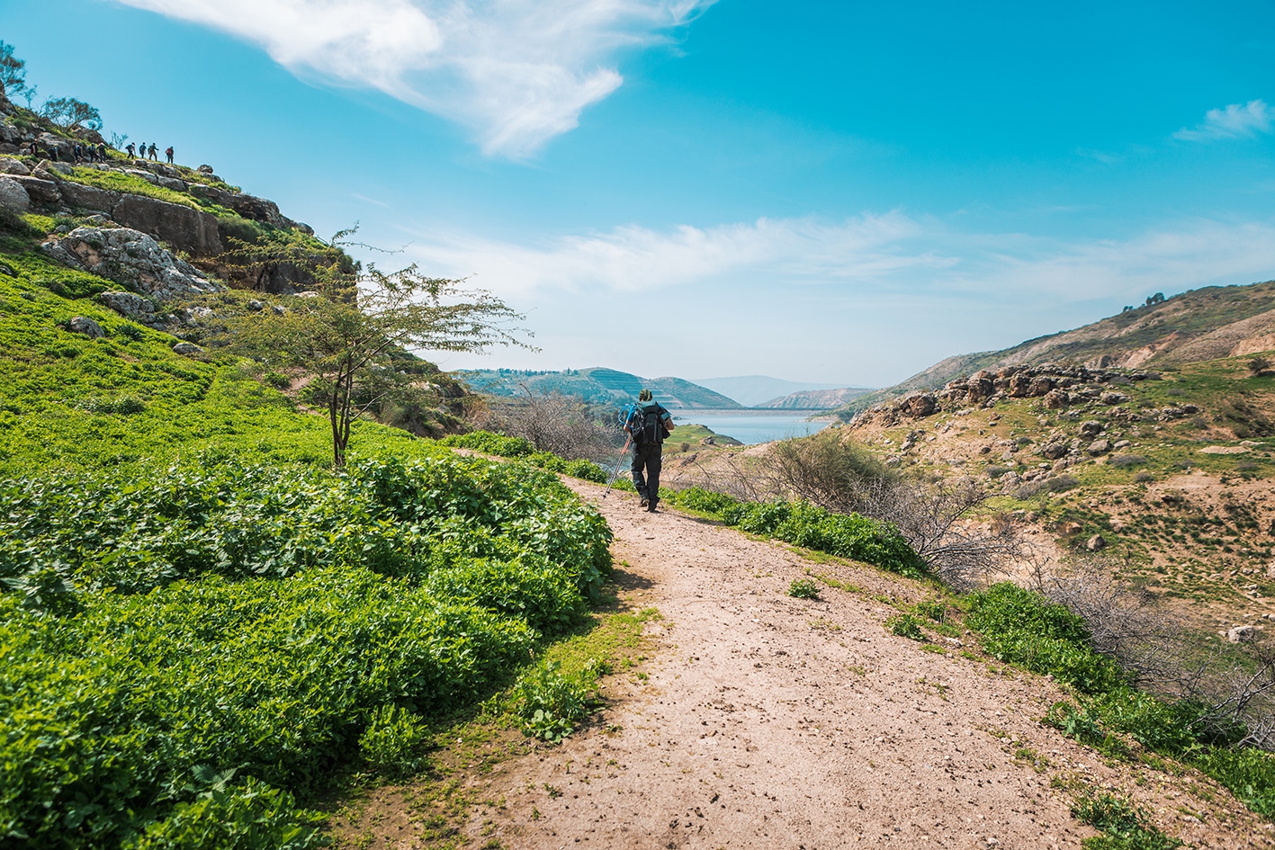
It’s the first day, so nice to begin downhill. Starting at the basalt ruins of the Decapolis of Um Qais overlooking the Sea of Galilee, we head down towards the Arab Dam, reaching Tel Mazraa’ at the water’s edge. We then follow the south side of the reservoir before climbing hills to a flat rich agriculture plain and the village of Zabda. Beyond, we drop down and follow Wadi Darraba and Quseiba to the weat, finally heading south and crossing Wadi et Taiyiba to the Ziglab Lake. A beautiful hike especially nice in the Spring.

TRANSPORTATION

Ajloun has bus connections to Amman, Jerash, and Irbid

LOCAL CONTACTS / ACCOMMODATIONS

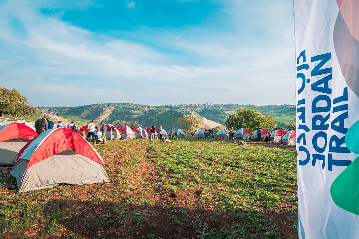
Wild Camp & Homestay- Philodemus Camp & Beit Philodemus, Ahmad Alomari & Rawan Husban, +962772426768, JT Pass Stamp Um Qais

Wild Camp & Homestay, Ibrahim Jawabreh & Tharwat Jawabrah, +962772277509

Wild Camp, Raed Al Theeb, +962791541354

Wild Camp & Homestay, Faraj Abu Alloush, +962785258284, JT Pass Stamp Um Qais

Homestay, Beit Al Baraka, Reservation, +962776667660 (https://barakadestinations.com/)

Homestay, Jadara Rent Room, Ibrahim Al Rousan, +962795021917

THINGS TO SEE
  • Um Qais Roman Ruins
  • Wadi al-Arab Dam
  • Tel Zar’a and Rock Climbing
  • Zabda & Makhraba
  • Wild Boar
FOOD & WATER

Food:

  • Restaurants in Um Qais
  • Shops in Um Qais, Murshid, Makhraba, Waqas
  • Meals are available at the Sharhabil Bin Hassneh EcoPark.

Water:

  • Villages and shops along the way
  • Um Qais Spring: said not to be trusted for drinking due to runoff
  • Wadi Makrab Spring: flowing at time of research (purify before drinking, could require digging)
TIPS & SAFETY

Tips:

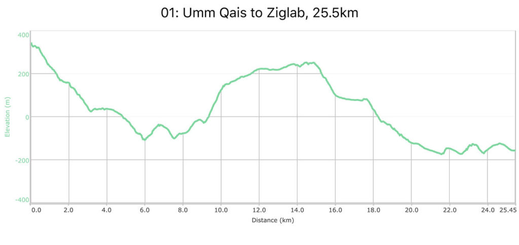
  • Be ready for the long, steep uphill in middle of the day.
  • The lower, second half of the route can get quite hot later in the day, especially outside of winter.
  • Route is waymarked and used frequently.

Safety Info:

  • Exposed edges – Minor, short section after Ein Um Qais
  • Flash flood dangers: Wadi Quseib (mild risk)
  • Loose footing – Downhill from Um Qais at beginning, Wadi Quseib
  • Animals – Shepherd dogs are present in a few places, mostly controlled well by owners
  • Dehydration/heat exhaustion – Take extra care, especially in hotter, lower section after Zabda

The Jordan Trail is a newly established trail, and is not marked. It is therefore our strong recommendation that you hire a local guide for your safety as many sections are remote with limited water sources and at times no connectivity.
By downloading these maps/GPX you take full responsibility for their use and accuracy; Jordan Trail Association does not warrant the accuracy or completeness of the information, materials or the reliability of any maps as they provided AS IS without warranty of any kind, either express or implied, including but not limited to, fitness for a particular purpose, or non-infringement ;You acknowledge that any reliance on any such maps, shall be at your sole risk and responsibility as Hiking, backpacking, and other outdoor activities all have potential hazards involving risk of injury or death. Outdoor activities have inherent risks and you should ensure you have the skill level and abilities suitable for the activities in Jordan to partake in them and to take all precaution measures.  Check the data on Google Earth or other Apps or Programs before using them.  The Jordan Trail Association shall not be held responsible for any incidents that may occur during your participation in any activity and/or by using any of the maps/GPX.
AGREE
close-link