Search
Close this search box.

SECTION 201 : AJLOUN TO KHIRBET AL-SOUQ

  • HIKES IN THE REGION

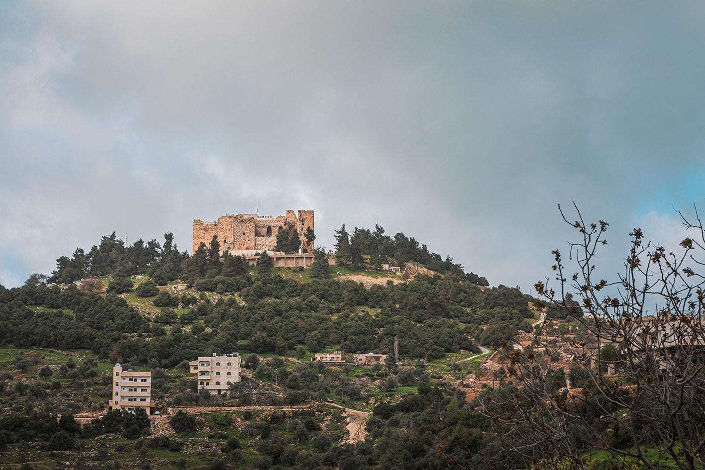
  • DAY 1: AJLOUN CASTLE TO KHIRBET AL-SOUQ

  • Distance: 16.2 km

  • Time: 5 to 6 hours

  • Physical Challenge: Moderate

  • Trail Difficulty: Moderate

  • Waymarked: Yes

To download the GPS track, click icon

The Jordan Trail is a newly established trail, and is not marked. It is therefore our strong recommendation that you hire a local guide for your safety as many sections are remote with limited water sources and at times no connectivity.
By downloading these maps/GPX you take full responsibility for their use and accuracy; Jordan Trail Association does not warrant the accuracy or completeness of the information, materials or the reliability of any maps as they provided AS IS without warranty of any kind, either express or implied, including but not limited to, fitness for a particular purpose, or non-infringement ;You acknowledge that any reliance on any such maps, shall be at your sole risk and responsibility as Hiking, backpacking, and other outdoor activities all have potential hazards involving risk of injury or death. Outdoor activities have inherent risks and you should ensure you have the skill level and abilities suitable for the activities in Jordan to partake in them and to take all precaution measures.  Check the data on Google Earth or other Apps or Programs before using them.  The Jordan Trail Association shall not be held responsible for any incidents that may occur during your participation in any activity and/or by using any of the maps/GPX.
AGREE
close-link

Click icon

The Jordan Trail is a newly established trail, and is not marked. It is therefore our strong recommendation that you hire a local guide for your safety as many sections are remote with limited water sources and at times no connectivity.
By downloading these maps/GPX you take full responsibility for their use and accuracy; Jordan Trail Association does not warrant the accuracy or completeness of the information, materials or the reliability of any maps as they provided AS IS without warranty of any kind, either express or implied, including but not limited to, fitness for a particular purpose, or non-infringement ;You acknowledge that any reliance on any such maps, shall be at your sole risk and responsibility as Hiking, backpacking, and other outdoor activities all have potential hazards involving risk of injury or death. Outdoor activities have inherent risks and you should ensure you have the skill level and abilities suitable for the activities in Jordan to partake in them and to take all precaution measures.  Check the data on Google Earth or other Apps or Programs before using them.  The Jordan Trail Association shall not be held responsible for any incidents that may occur during your participation in any activity and/or by using any of the maps/GPX.
AGREE
close-link
to download the map
IMPORTANT NUMBERS

Tourism Police:

Hotline: 117777
What’s App: +962 7 7099 1814

* When contacting Tourism Police for emergency identify that you are hiking the Jordan Trail, state your nationality, location and map name & number.


JTA office: +962 6 461 0999

(Working Hours: 9:00 a.m. to 5:00 p.m., Sunday- Thursday)

BASIC INFO

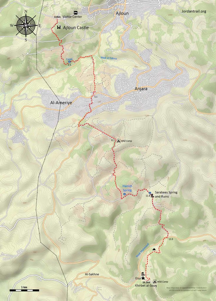
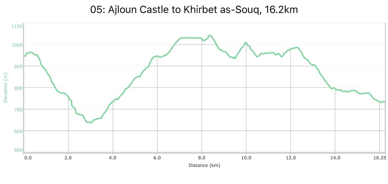
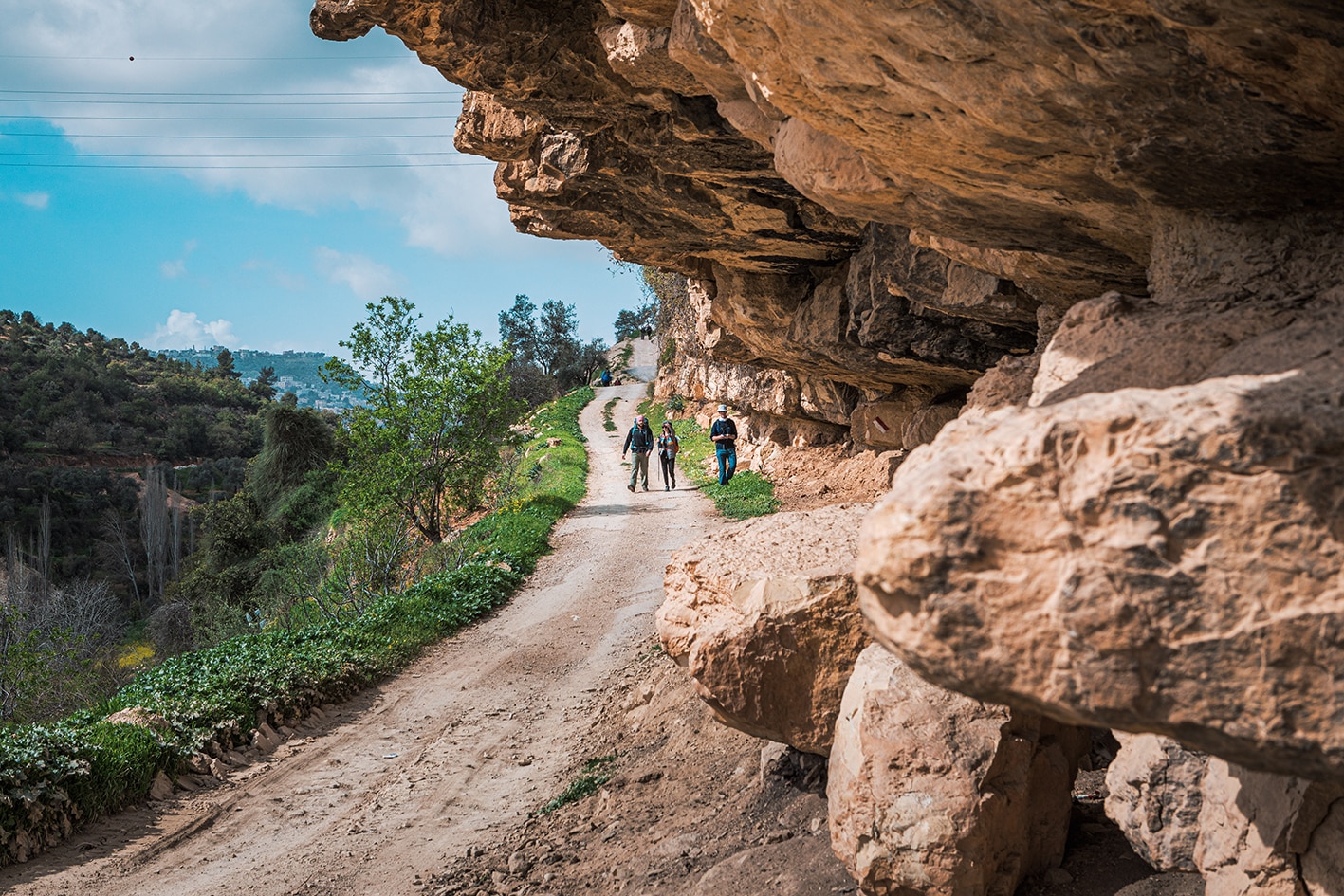
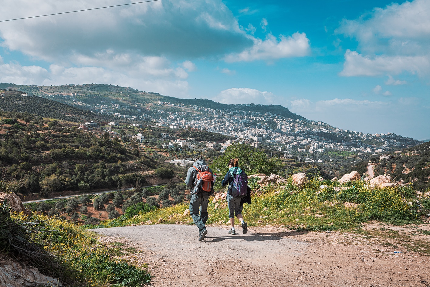
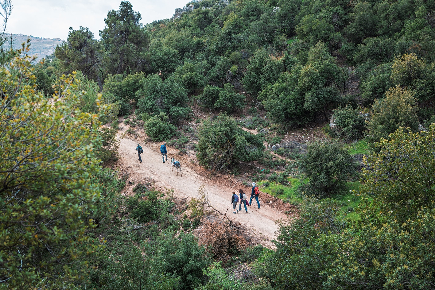
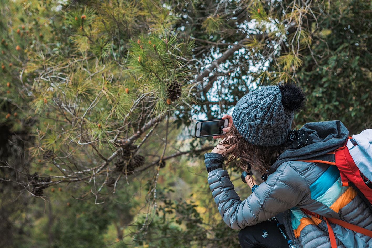
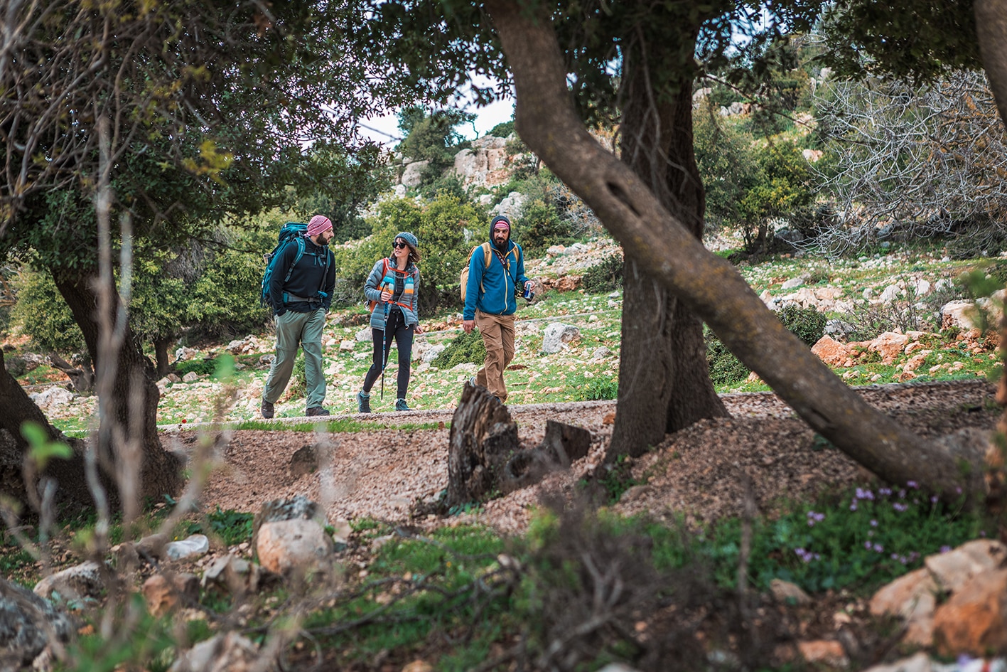
Good views and an enjoyable walk south down the sparsely pine forested hill to Wadi Al-Tawaheen start the day. Once over the wadi, small tracks head back up passing olive groves and avoiding the towns of Anjara and Kufrinja before winding round the W end of the hills above. Country lanes then continue past the old abandoned village of Sarabees with its spring then on over more rolling hills still on quiet county lanes and down into pretty Wadi Mahmoud with its eponymous cliff (good sports climbs). A nice path follows the cliff top round to the next valley and Khirbet al-Souq (homestay).

TRANSPORTATION

Ajloun – Buses from Amman (north bus station) to Ajloun then from Ajloun take a bus or Taxi to Ajloun castle. There is no fixed schedule for buses; they leave when they are full.

Anjara – Local bus passes between Ajloun and Anjara.

Khirbet al Souq – There is bus service from Anjara to Rajeb, which reaches As-Sakhne 3km away from Khirbet al-Souq

  • From Khirbet al-Souq, it’s 15km to Jerash. Leave on the road to Rakeb, get a car from the main road and find a service taxi (1 JD to Sakhne, 10JD to Jerash)
LOCAL CONTACTS / ACCOMMODATION


  • Homestay, Eisa Zghoul, +962799831041 , JT Pass Stamp Khirbet Al-Souq
THINGS TO SEE
  • Ajloun Castle (entrance fee: 2JD pp).
  • Shrine of Prophet Khidr near the entrance of Ajloun Castle.
  • Dallafeh Water Spring. (Fresh water, no purification needed).
  • Sarabees Water Spring. (Fresh water, no purification needed).
  • Sarabees Village Ruins.
  • Mahmoud Cliff (Bolted Climbing Routes and Ancient Tombs).
  • Khirbet al-Souq and Charcoal Burners
  • Wild Pistachio
FOOD & WATER
Food:
  • Food is available near the Ajloun Castle in the city of Ajloun, in Anjara, and Khirbet al-Souq.
  • Khirbet al-Souq has a small shop with snacks and water only, owner Habis Zghour.

Water:

  • There are two springs on the route, which are always flowing (purify before drinking): Ein Hanish and Ein Sarabees
TIPS & SAFETY

Tips:

  • The day is mostly easy with just a few sections of rough trails at the beginning, and the rest on the road.
  • Some sections of this day may be rerouted, so check with JTA for the best route down from Ajloun Castle.
  • Shade available along the trail.
  • Most of the trail is accessible by car.
  • Parking is possible at the start point (Ajloun Castle Entrance) and at the end point (Khirbet al-Souq).
  • Bathrooms are also available at the start and end points in Ajloun Castle and at the charcoal burner’s house.
  • Mobile service is available all the way.
  • ATM Machines are available in Ajloun city center.
  • Good camping spot with nice view in “Um Al-Khashab” area.

Safety Info:

  • Loose footing – Trail is not well defined going downhill from the Ajloun Castle; this section might be rerouted.
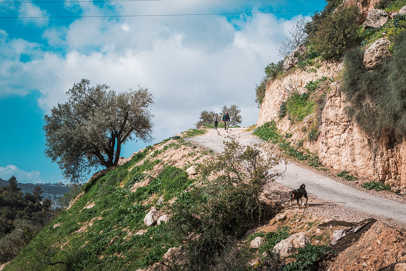
  • Animals – Take caution with shepherd dogs.
LOCAL CONTACTS

Abu-Johar (Ajloun) – 02-6420525 / 079779254

Issa Zghoul (Khirbet al-Souq) – 0799831041

The Jordan Trail is a newly established trail, and is not marked. It is therefore our strong recommendation that you hire a local guide for your safety as many sections are remote with limited water sources and at times no connectivity.
By downloading these maps/GPX you take full responsibility for their use and accuracy; Jordan Trail Association does not warrant the accuracy or completeness of the information, materials or the reliability of any maps as they provided AS IS without warranty of any kind, either express or implied, including but not limited to, fitness for a particular purpose, or non-infringement ;You acknowledge that any reliance on any such maps, shall be at your sole risk and responsibility as Hiking, backpacking, and other outdoor activities all have potential hazards involving risk of injury or death. Outdoor activities have inherent risks and you should ensure you have the skill level and abilities suitable for the activities in Jordan to partake in them and to take all precaution measures.  Check the data on Google Earth or other Apps or Programs before using them.  The Jordan Trail Association shall not be held responsible for any incidents that may occur during your participation in any activity and/or by using any of the maps/GPX.
AGREE
close-link