Search
Close this search box.

ADOPTED BY : MR. MAHER KADDOURA

SECTION 103: BEIT IDIS TO RASOUN

  • HIKES IN THE REGION​

  • Day 3: BEIT IDIS TO RASOUN

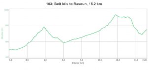
  • Distance: 15.2 km

  • Time: 4-6 hours

  • Physical Challenge: Moderate

  • Trail Challenge: Moderate

  • Waymarked: Yes

To download the Jordan Trail GPS tracks, Click here..

The Jordan Trail is a newly established trail, and is not marked. It is therefore our strong recommendation that you hire a local guide for your safety as many sections are remote with limited water sources and at times no connectivity.
By downloading these maps/GPX you take full responsibility for their use and accuracy; Jordan Trail Association does not warrant the accuracy or completeness of the information, materials or the reliability of any maps as they provided AS IS without warranty of any kind, either express or implied, including but not limited to, fitness for a particular purpose, or non-infringement ;You acknowledge that any reliance on any such maps, shall be at your sole risk and responsibility as Hiking, backpacking, and other outdoor activities all have potential hazards involving risk of injury or death. Outdoor activities have inherent risks and you should ensure you have the skill level and abilities suitable for the activities in Jordan to partake in them and to take all precaution measures.  Check the data on Google Earth or other Apps or Programs before using them.  The Jordan Trail Association shall not be held responsible for any incidents that may occur during your participation in any activity and/or by using any of the maps/GPX.
AGREE
close-link

Click icon

The Jordan Trail is a newly established trail, and is not marked. It is therefore our strong recommendation that you hire a local guide for your safety as many sections are remote with limited water sources and at times no connectivity.
By downloading these maps/GPX you take full responsibility for their use and accuracy; Jordan Trail Association does not warrant the accuracy or completeness of the information, materials or the reliability of any maps as they provided AS IS without warranty of any kind, either express or implied, including but not limited to, fitness for a particular purpose, or non-infringement ;You acknowledge that any reliance on any such maps, shall be at your sole risk and responsibility as Hiking, backpacking, and other outdoor activities all have potential hazards involving risk of injury or death. Outdoor activities have inherent risks and you should ensure you have the skill level and abilities suitable for the activities in Jordan to partake in them and to take all precaution measures.  Check the data on Google Earth or other Apps or Programs before using them.  The Jordan Trail Association shall not be held responsible for any incidents that may occur during your participation in any activity and/or by using any of the maps/GPX.
AGREE
close-link
to download the map

IMPORTANT NUMBERS

Tourism Police:

Hotline: 117777
What’s App: +962 7 7099 1814

* When contacting Tourism Police for emergency identify that you are hiking the Jordan Trail, state your nationality, location and map name & number.

JTA office: +962 6 461 0999

(Working Hours: 9:00 a.m. to 5:00 p.m., Sunday- Thursday)

BASIC INFO

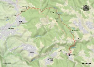
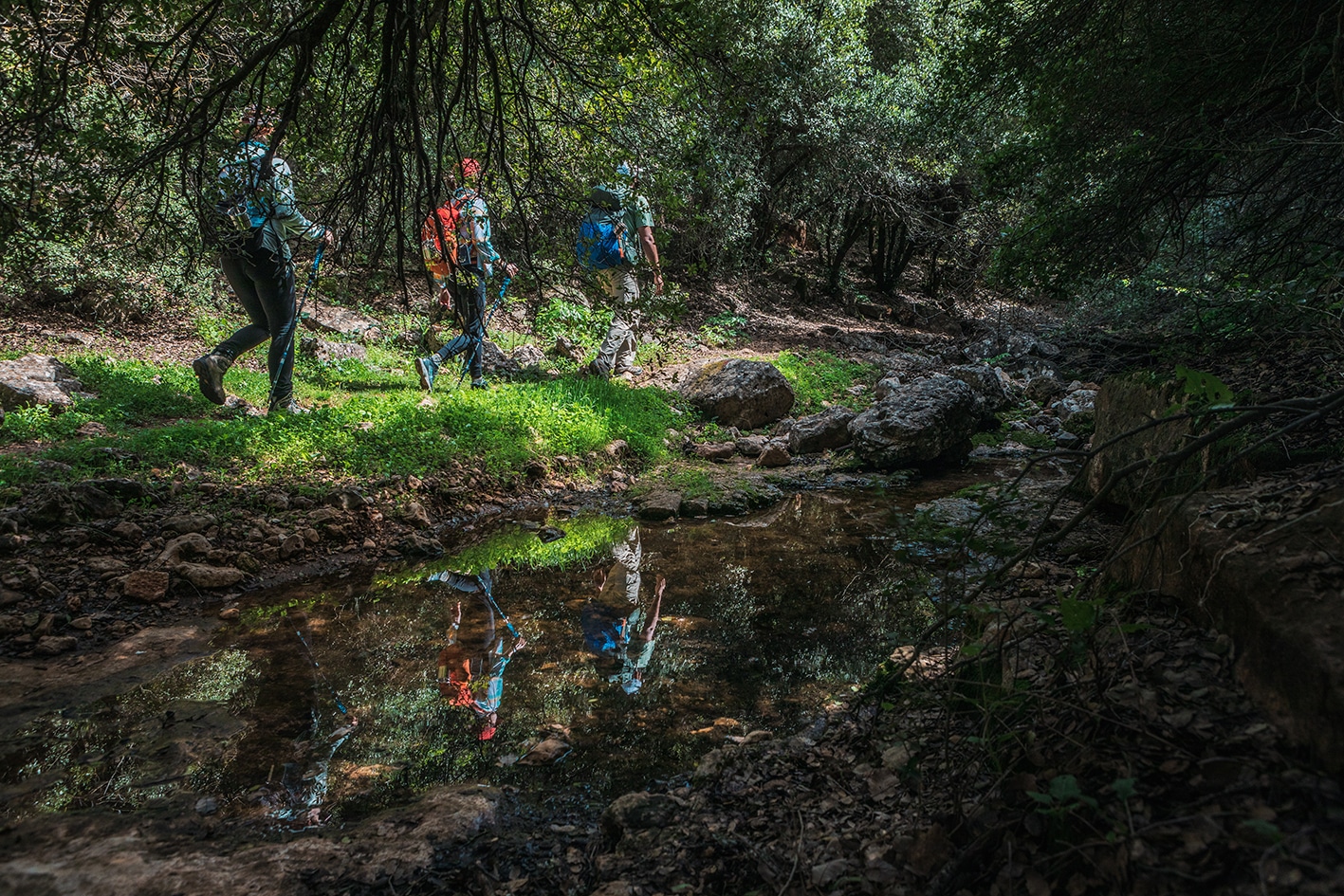
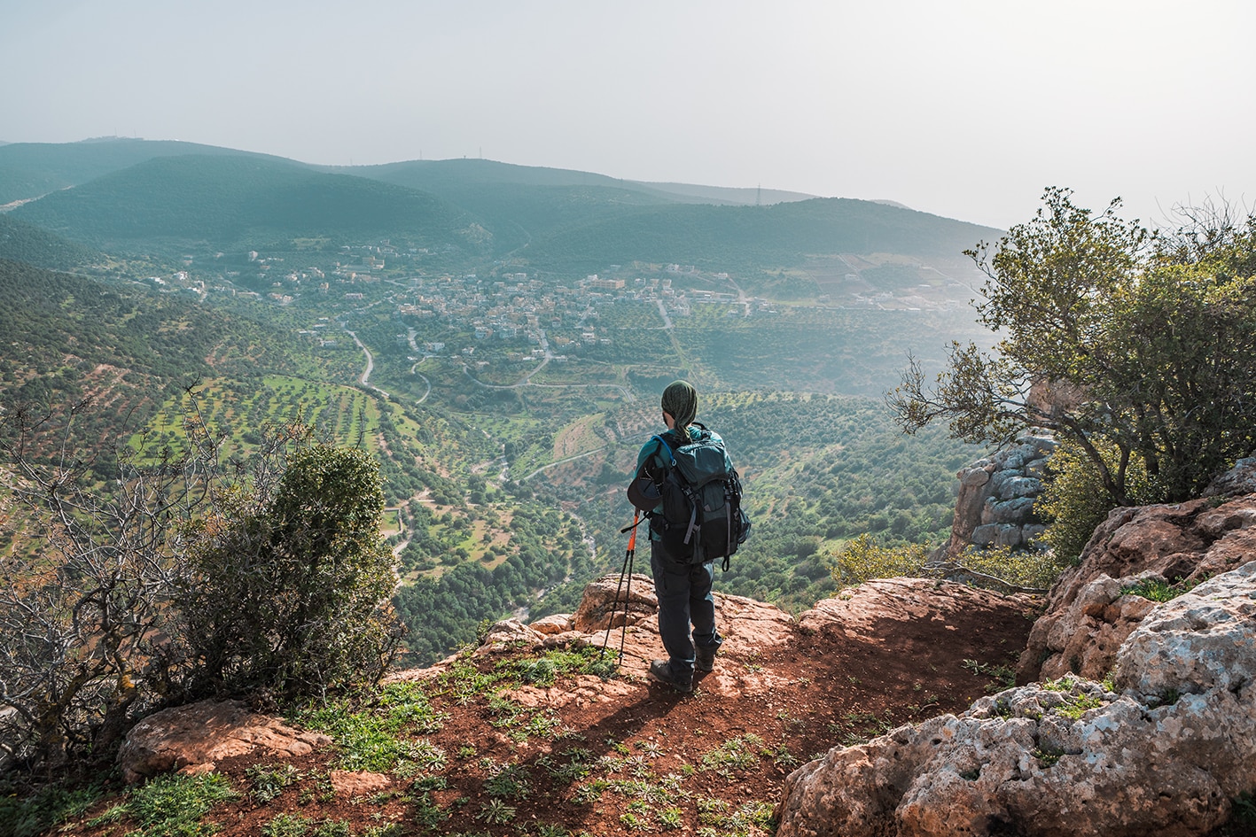
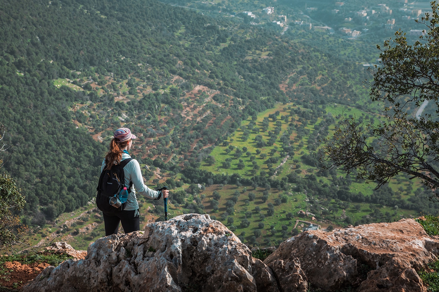
Small lanes lead N out of the village and across the upper reaches of Wadi Sir to a road rising up though wooded countryside before descending NE into the beautiful and thickly wooded Wadi Zubia. Dependent on the season there may be water in the stream. Follow the valley up until the trees thin out, revealing the cisterns and ruins of Roman Qabla up to the left. A lane then goes S up the hillside to where the main road is followed W before descending a wooded valley and hillside and crossing Wadi Orjan to reach Rasoun village and homestays.

TRANSPORTATION
  • Private vehicles between villages, “local community service providers” can arrange.
  • General public transit between villages: no set schedules, buses leave when full, many routes only have private cars *service available. From Baoun to Ajloun: 5-7JD, from Rasoun to Ajloun: 7-10JD
LOCAL CONTACTS / ACCOMMODATIONS
  • Homestay, Maysoon & Mohammad Aldwaikat, +962776540293/ +962772293291, JT Pass Stamp Rasoun
  • Homestay, Ehab Shawashreh, +962796830414 , JT Pass Stamp Rasoun
  • Homestay, Fathia Miqdad, +962772089782, JT Pass Stamp Rasoun
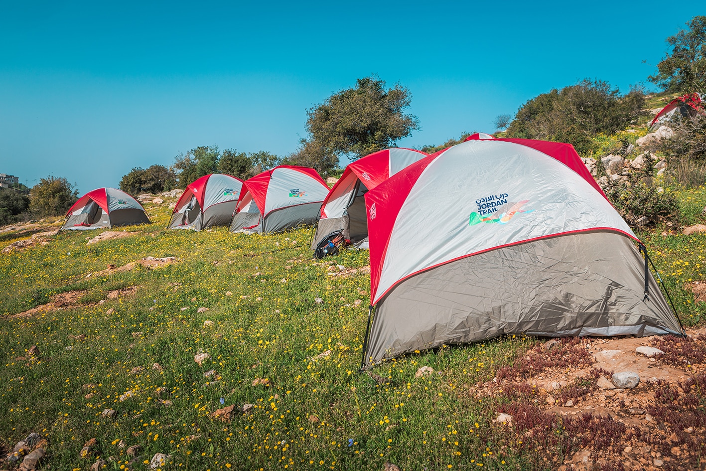
  • Wild Camp, Samer Miqdad, +962777516660
  • Wild Camp, Mohammad Darweesh, +962772398954, JT Pass Stamp Rasoun
  • Mount Birgish Eco Camp, Reservation, +962795010959
  • Ajloun Forest Reserve (RSCN), Reservation, +96264616523, www.wildjordan.com
THINGS TO SEE
  • King’s Royal Lodge and hunting area
  • Qabla ruins
  • Zubia forest, seasonal pools in Wadi Zubia
  • Tor al-Ahmad Cliffs
  • Dolmens
  • Ajloun Reserve
  • Al Ayoun Tourism
  • Rasoun
FOOD & WATER

Food:

  • Shops in Beit Idis and Rasoun (mini-market across from municipality)
  • Fruit shops on the road after Qabla (seasonal).

Water:

  • Beit Idis
  • Ein Zubia (purify before drinking)
  • Rasoun village at end
  • Various houses near Qabla
TIPS & SAFETY

Tips:

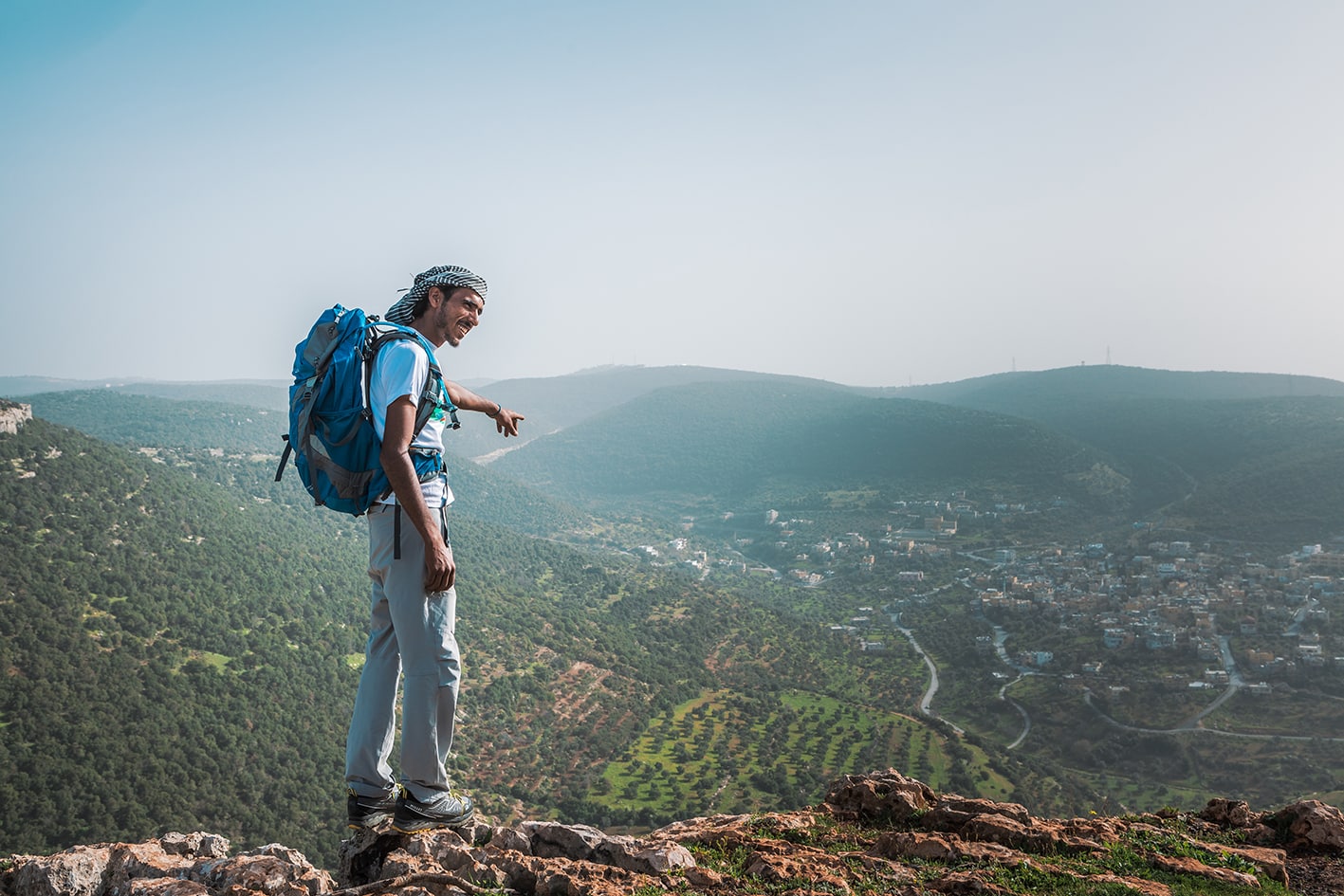
  • Enjoy the most forested day of the entire Jordan Trail, a welcome break in the shade from the hot Jordan Valley.
  • Paths follow mostly gentle grades, with a manageable distance.
  • Route is waymarked and used frequently.

Safety Info:

  • Loose footing – Present only for short sections.
  • Wise to avoid the King’s Lodge area.

Lorem ipsum dolor sit amet, consectetur adipiscing elit. Ut elit tellus, luctus nec ullamcorper mattis, pulvinar dapibus leo.

The Jordan Trail is a newly established trail, and is not marked. It is therefore our strong recommendation that you hire a local guide for your safety as many sections are remote with limited water sources and at times no connectivity.
By downloading these maps/GPX you take full responsibility for their use and accuracy; Jordan Trail Association does not warrant the accuracy or completeness of the information, materials or the reliability of any maps as they provided AS IS without warranty of any kind, either express or implied, including but not limited to, fitness for a particular purpose, or non-infringement ;You acknowledge that any reliance on any such maps, shall be at your sole risk and responsibility as Hiking, backpacking, and other outdoor activities all have potential hazards involving risk of injury or death. Outdoor activities have inherent risks and you should ensure you have the skill level and abilities suitable for the activities in Jordan to partake in them and to take all precaution measures.  Check the data on Google Earth or other Apps or Programs before using them.  The Jordan Trail Association shall not be held responsible for any incidents that may occur during your participation in any activity and/or by using any of the maps/GPX.
AGREE
close-link