Details
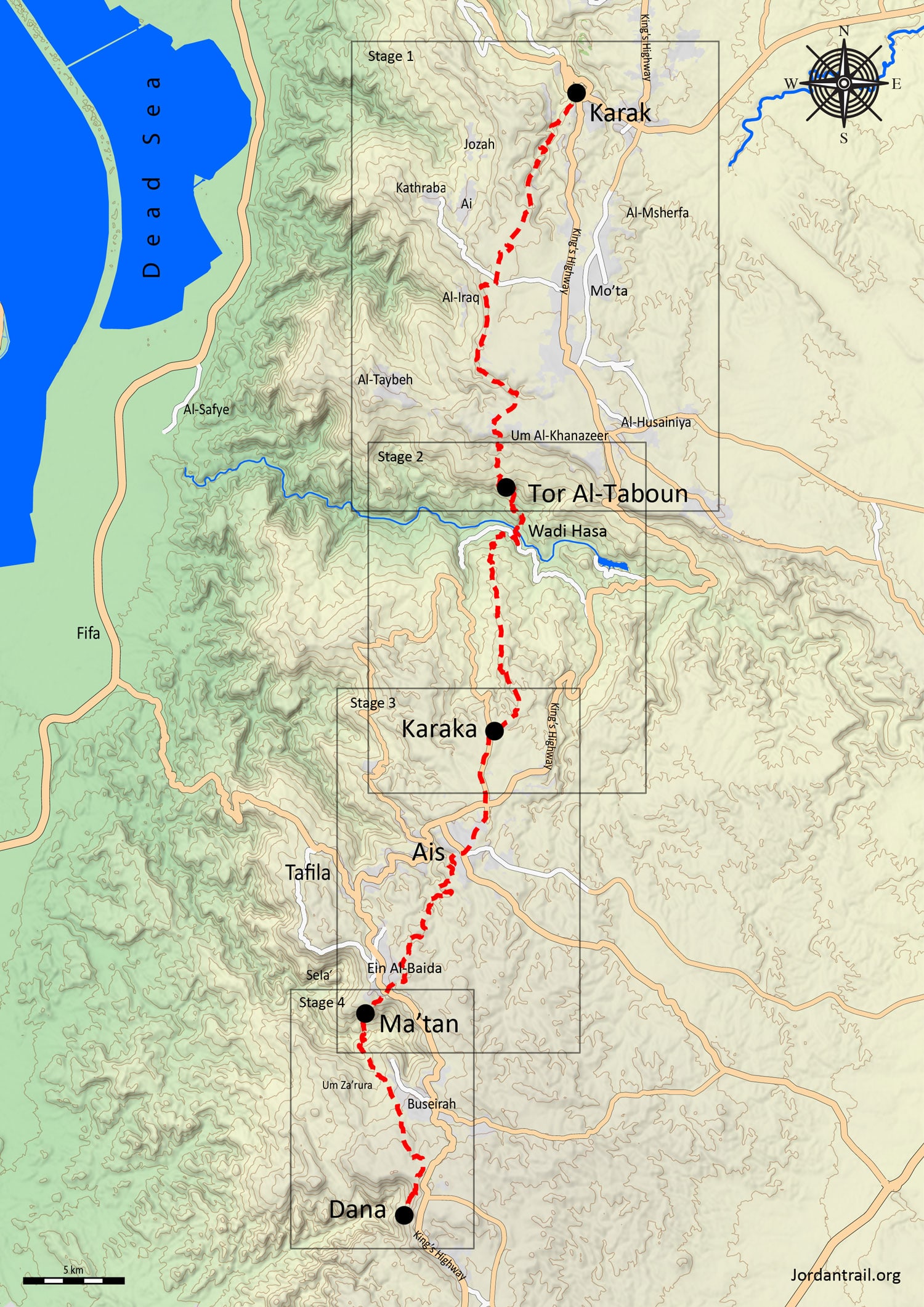
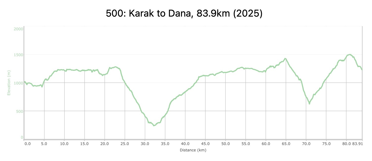
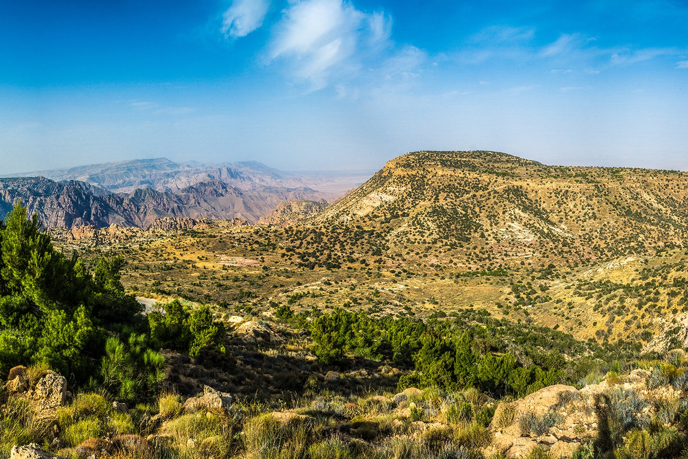
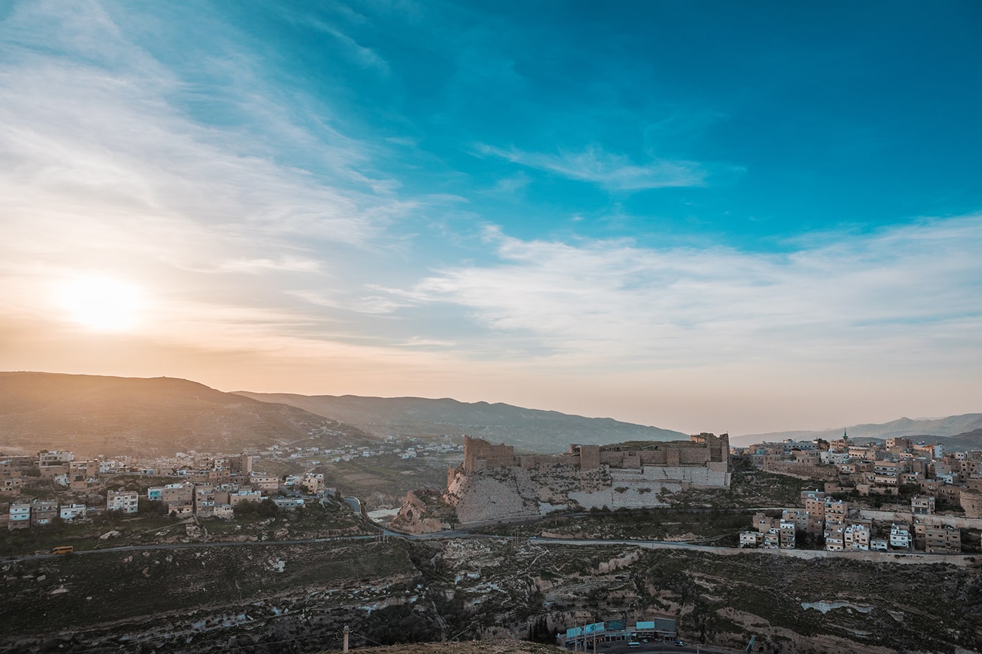
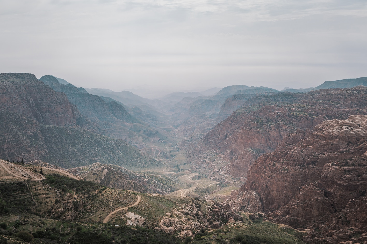
Leaving Al-Karak, the trail descends into winding valleys and villages with Crusader-era roots. It passes the ruins of Khirbet Ainun and fertile orchards before reaching the rim of the vast Wadi Hasa. A 1,000-meter descent through the limestone cliffs of Tor al-Taboun leads to the valley floor, followed by a climb back to the plateau east of Tafileh. Along the way, hikers encounter Bedouin camps, villages and the Edomite ruins of Sila’ and Ma’tan. Following a trek through Wadi Labun, this region concludes at Dana Village, beautifully restored and perched on the edge of the spectacular Dana Biosphere Reserve.
4 days Distance: 83.9 km Ascent: 3,453 m Descent: 3,244 m Max Elevation: 1,499 m Min Elevation: 237 m